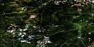
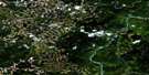
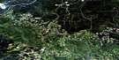
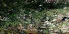
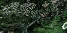
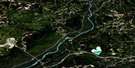
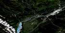
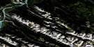
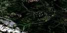
Miette Satellite Image Map
Download Free Aerial Photo 083F04 at 1:50,000 scale
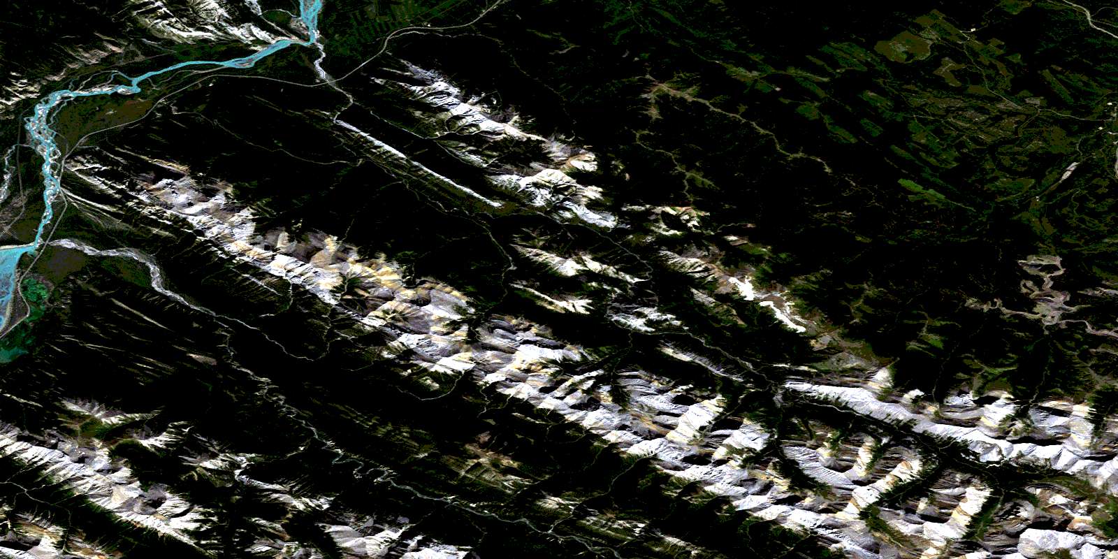
Miette Satellite Imagery
To view this satellite map, mouse over the air photo on the right.
You can also download this satellite image map for free:
083F04 Miette high-resolution satellite image map.
Maps for the Miette aerial map sheet 083F04 at 1:50,000 scale are also available in these versions:
Miette Surrounding Area Aerial Photo Maps
 |
 |
 |
 |
 |
 |
 |
 |
 |
 |
 |
 |
 |
 |
 |
 |
© Department of Natural Resources Canada. All rights reserved.
Miette Gazetteer
The following places can be found on satellite image map 083F04 Miette:
Miette Satellite Image: Capes
Disaster PointMiette Satellite Image: Falls
Punchbowl FallsMiette Satellite Image: Lakes
Brûlé LakeJasper Lake
Mystery Lake
Talbot Lake
Miette Satellite Image: Mountains
Ashlar RidgeBedson Ridge
Cap Ridge
Capitol Mountain
Cinquefoil Mountain
Colin Range
Emir Mountain
Fiddle Peak
Fiddle Range
Folding Mountain
Jacques Range
Makwa Ridge
Merlin Ridge
Miette Range
Montagnes Rocheuses
Mount Berry
Mount Bryant
Mount Colin
Mount Drinnan
Mount O'Hagan
Nikanassin Range
Overturn Mountain
Roche à Perdrix
Roche Jacques
Roche Miette
Rocky Mountain Foothills
Rocky Mountains
Slide Mountain
Sphinx Mountain
Syncline Ridge
Utopia Mountain
Miette Satellite Image: Major municipal/district area - major agglomerations
JasperMunicipal District of Yellowhead No. 94
Yellowhead County
Miette Satellite Image: Other municipal/district area - miscellaneous
Improvement District No. 12Jasper Improvement District
Yellowhead Improvement District No. 14
Miette Satellite Image: Conservation areas
Jasper House National Historic Site of CanadaJasper National Park of Canada
Lieu historique national du Canada Jasper House
Parc national du Canada Jasper
Miette Satellite Image: Rivers
Ammonite CreekAshlar Creek
Athabasca River
Athabaska River
Berry's Creek
Breccia Creek
Butterwort Creek
Capitol Creek
Cinquefoil Creek
Colin Creek
Coronach Creek
Delphinium Creek
Drinnan Creek
Dromore Creek
Drystone Creek
Emir Creek
Fiddle River
Folding Mountain Creek
Garonne Creek
Gregg River
Jacques Creek
Makwa Creek
Maskuta Creek
Merlin Creek
Moosehorn Creek
Morris Creek
Mountain Creek
Nashan Creek
O'Hagan Creek
Poachers Creek
Rivière Athabasca
Roche Miette Creek
Rocky River
Ronde Creek
Seabolt Creek
Slide Creek
Snake Indian River
South Drinnan Creek
Sphinx Creek
Sulphur Creek
Teepee Creek
Utopia Creek
Villeneuve Creek
Warden Creek
Miette Satellite Image: Springs
Miette HotspringsMiette Satellite Image: Unincorporated areas
DevonaMiette
Miette Hotsprings
Pocahontas
Miette Satellite Image: Valleys
Fiddle PassJacques Pass
© Department of Natural Resources Canada. All rights reserved.
