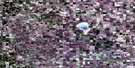
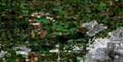
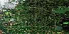
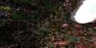
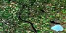
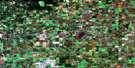
Willingdon Satellite Image Map
Download Free Aerial Photo 083H16 at 1:50,000 scale
Willingdon Satellite Imagery
To view this satellite map, mouse over the air photo on the right.
You can also download this satellite image map for free:
083H16 Willingdon high-resolution satellite image map.
Maps for the Willingdon aerial map sheet 083H16 at 1:50,000 scale are also available in these versions:
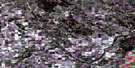
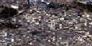
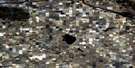
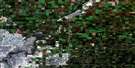
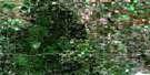
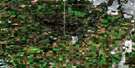
Willingdon Surrounding Area Aerial Photo Maps
 |
 |
 |
 |
 |
 |
 |
 |
 |
 |
 |
 |
 |
 |
 |
 |
© Department of Natural Resources Canada. All rights reserved.
Willingdon Gazetteer
The following places can be found on satellite image map 083H16 Willingdon:
Willingdon Satellite Image: Geographical areas
Victoria SettlementWillingdon Satellite Image: Lakes
Cucumber LakeLimestone Lake
Whitford Lake
Willingdon Satellite Image: Major municipal/district area - major agglomerations
County of Lamont No. 30County of Smoky Lake No. 13
County of Two Hills No. 21
Lamont County
Smoky Lake County
Willingdon Satellite Image: Rivers
Cucumber CreekEgg Creek
Limestone Creek
Limestone Creek
North Saskatchewan River
Rivière Saskatchewan Nord
Whitford Creek
Willingdon Satellite Image: Unincorporated areas
BoianDesjarlais
Gold Creek
Luzan
Shandro
Sniatyn
Soda Lake
Sunland
Ukalta
Wasel
Whitford
Wostok
Zawale
Willingdon Satellite Image: Villages
AndrewWillingdon

© Department of Natural Resources Canada. All rights reserved.
