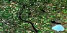
Bittern Lake Satellite Image Map
Download Free Aerial Photo 083H03 at 1:50,000 scale
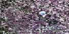
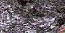
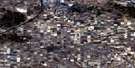
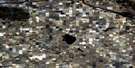
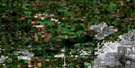
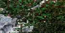
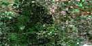
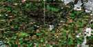
Bittern Lake Satellite Imagery
To view this satellite map, mouse over the air photo on the right.
You can also download this satellite image map for free:
083H03 Bittern Lake high-resolution satellite image map.
Maps for the Bittern Lake aerial map sheet 083H03 at 1:50,000 scale are also available in these versions:
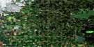
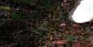
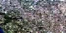
Bittern Lake Surrounding Area Aerial Photo Maps
 |
 |
 |
 |
 |
 |
 |
 |
 |
 |
 |
 |
 |
 |
 |
 |
© Department of Natural Resources Canada. All rights reserved.
Bittern Lake Gazetteer
The following places can be found on satellite image map 083H03 Bittern Lake:
Bittern Lake Satellite Image: Lakes
Adrian LakeBig Hay Lake
Bittern Lake
Coal Lake
Huard Lake
Labyrinth Lake
Levering Lake
Little Hay Lake
Louis Lake
Missing Lake
Myriad Lake
Ord Lake
Trowel Lake
Washing Lake
Bittern Lake Satellite Image: Major municipal/district area - major agglomerations
County of Camrose No. 22County of Leduc No. 25
County of Wetaskiwin No. 10
Leduc County
Bittern Lake Satellite Image: Conservation areas
Hay Lakes Telegraph Station Provincial Historic Site (Undeveloped)Bittern Lake Satellite Image: Rivers
Bigstone CreekClearwater Creek
Pipestone Creek
Bittern Lake Satellite Image: Towns
MilletBittern Lake Satellite Image: Unincorporated areas
Rolly ViewBittern Lake Satellite Image: Villages
Bittern LakeHay Lakes

© Department of Natural Resources Canada. All rights reserved.
