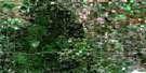
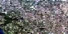
Morinville Satellite Image Map
Download Free Aerial Photo 083H13 at 1:50,000 scale
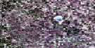
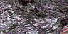
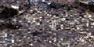
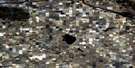
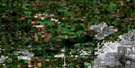
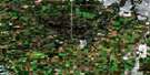
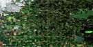
Morinville Satellite Imagery
To view this satellite map, mouse over the air photo on the right.
You can also download this satellite image map for free:
083H13 Morinville high-resolution satellite image map.
Maps for the Morinville aerial map sheet 083H13 at 1:50,000 scale are also available in these versions:
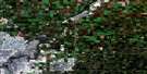
Morinville Surrounding Area Aerial Photo Maps
 |
 |
 |
 |
 |
 |
 |
 |
 |
 |
 |
 |
 |
 |
 |
 |
© Department of Natural Resources Canada. All rights reserved.
Morinville Gazetteer
The following places can be found on satellite image map 083H13 Morinville:
Morinville Satellite Image: Indian Reserves
Alexander 134Morinville Satellite Image: Lakes
Deadman LakeLow Water Lake
Manawan Lake
Morinville Satellite Image: Major municipal/district area - major agglomerations
Municipal District of Sturgeon No. 90Municipal District of Westlock No. 92
Sturgeon County
Morinville Satellite Image: Rivers
Fairydell CreekLittle Egg Creek
Redwater River
Rivière Qui Barre
Morinville Satellite Image: Towns
LegalMorinville
Morinville Satellite Image: Unincorporated areas
AlcomdaleAlexander
Busby
Cardiff
Mearns
Peavey
Rivière Qui Barre

© Department of Natural Resources Canada. All rights reserved.
