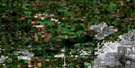
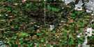
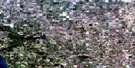
Kavanagh Satellite Image Map
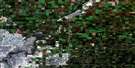
Download Free Aerial Photo 083H04 at 1:50,000 scale
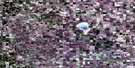
Kavanagh Satellite Imagery
To view this satellite map, mouse over the air photo on the right.
You can also download this satellite image map for free:
083H04 Kavanagh high-resolution satellite image map.
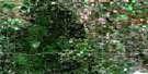
Maps for the Kavanagh aerial map sheet 083H04 at 1:50,000 scale are also available in these versions:
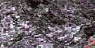
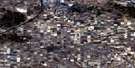
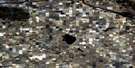
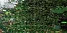
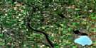
Kavanagh Surrounding Area Aerial Photo Maps
 |
 |
 |
 |
 |
 |
 |
 |
 |
 |
 |
 |
 |
 |
 |
 |
© Department of Natural Resources Canada. All rights reserved.
Kavanagh Gazetteer
The following places can be found on satellite image map 083H04 Kavanagh:
Kavanagh Satellite Image: City
LeducKavanagh Satellite Image: Lakes
Buckinghorse LakeEyot Lake
Long Lake
Pigeon Lake
Watelet Lake
Wizard Lake
Kavanagh Satellite Image: Major municipal/district area - major agglomerations
County of Leduc No. 25County of Wetaskiwin No. 10
Leduc County
Kavanagh Satellite Image: Rivers
Bigstone CreekConjuring Creek
Falun Creek
Pipestone Creek
West Whitemud Creek
Whitemud Creek
Willow Creek
Kavanagh Satellite Image: Unincorporated areas
BufordConjuring Creek
Glen Park
Kavanagh
Mulhurst
Patience
Pipestone
Kavanagh Satellite Image: Villages
Silver Beach
© Department of Natural Resources Canada. All rights reserved.
