Aristazabal Island Satellite Image Map
Download Free Aerial Photo 103A11 at 1:50,000 scale
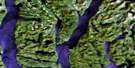
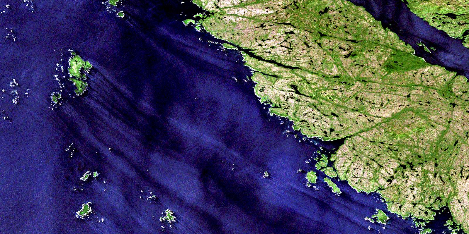
Aristazabal Island Satellite Imagery
To view this satellite map, mouse over the air photo on the right.
You can also download this satellite image map for free:
103A11 Aristazabal Island high-resolution satellite image map.
Maps for the Aristazabal Island aerial map sheet 103A11 at 1:50,000 scale are also available in these versions:
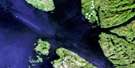
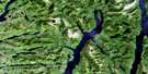
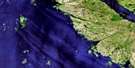
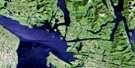
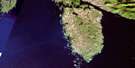
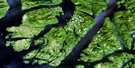
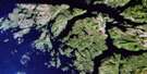
Aristazabal Island Surrounding Area Aerial Photo Maps
 |
 |
 |
 |
 |
 |
 |
|
 |
 |
 |
|
 |
© Department of Natural Resources Canada. All rights reserved.
Aristazabal Island Gazetteer
The following places can be found on satellite image map 103A11 Aristazabal Island:
Aristazabal Island Satellite Image: Bays
Bent HarbourBorrowman Bay
Clifford Bay
Kent Inlet
Kettle Inlet
Switzer Cove
Tate Cove
Turtish Harbour
Weeteeam Bay
Aristazabal Island Satellite Image: Capes
Breakenridge PointDeasy Point
Fox Point
Loap Point
Meade Point
Shotbolt Point
Wriglesworth Point
Aristazabal Island Satellite Image: Channels
Beauchemin ChannelHecate Strait
Laredo Channel
Leadman Passage
Meiss Passage
Morison Passage
Philip Narrows
Willis Passage
Wright Passage
Aristazabal Island Satellite Image: Indian Reserves
Gander Island Indian Reserve 14Kdad-eesh Indian Reserve 4
Réserve indienne Gander Island 14
Réserve indienne Kdad-eesh 4
Réserve indienne Weeteeam 3
Weeteeam Indian Reserve 3
Aristazabal Island Satellite Image: Islands
Alman IslandAnderson Islands
Archer Islets
Aristazabal Island
Arriaga Islands
Babbage Island
Benney Islets
Bowden Islands
Bruce Islet
Byers Islands
Conroy Island
Craft Island
Dobbs Islets
Harvey Islands
Howse Island
Louis Islands
McKenney Islands
Moore Islands
Normansell Islands
Princess Royal Island
Ramsbotham Islands
Sinnett Islets
South Arriaga Island
Tarte Island
Thistleton Islands
Thomson Island
Trenaman Island
Trickey Islands
Wall Islets
Whitmore Islands
Wilks Island
Woodcock Islands
Aristazabal Island Satellite Image: Lakes
Noble LagoonAristazabal Island Satellite Image: Mountains
Mount GillespieMount Johnston
Aristazabal Island Satellite Image: Major municipal/district area - major agglomerations
Regional District of Kitimat-StikineAristazabal Island Satellite Image: Rivers
Clifford CreekDuffey Creek
Flux Creek
Kdelmashan Creek
Stannard Creek
Aristazabal Island Satellite Image: Shoals
Allen RocksBaker Shoal
Bonson Rock
Bridgeman Rock
Butler Shoal
Carter Rocks
Christie Shoal
Digby Rock
Eaton Rock
Hawkins Rock
Hazel Shoal
Howell Rock
Keith Rock
Knarston Rock
Liddell Rocks
Lindsay Rocks
Lombard Rocks
McColl Rock
McGowen Rocks
Mesher Rock
Raby Rock
Richards Shoal
Russell Banks
Schram Rocks
Sehl Rock
Sere Rock
Soar Rock
Thurgate Rock
Turner Rock
Verdier Shoal
Wakely Rock
Wall Rocks
Wells Rocks
© Department of Natural Resources Canada. All rights reserved.
