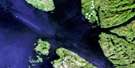
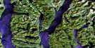
Caamano Sound Satellite Image Map
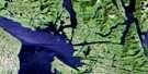
Download Free Aerial Photo 103A14 at 1:50,000 scale
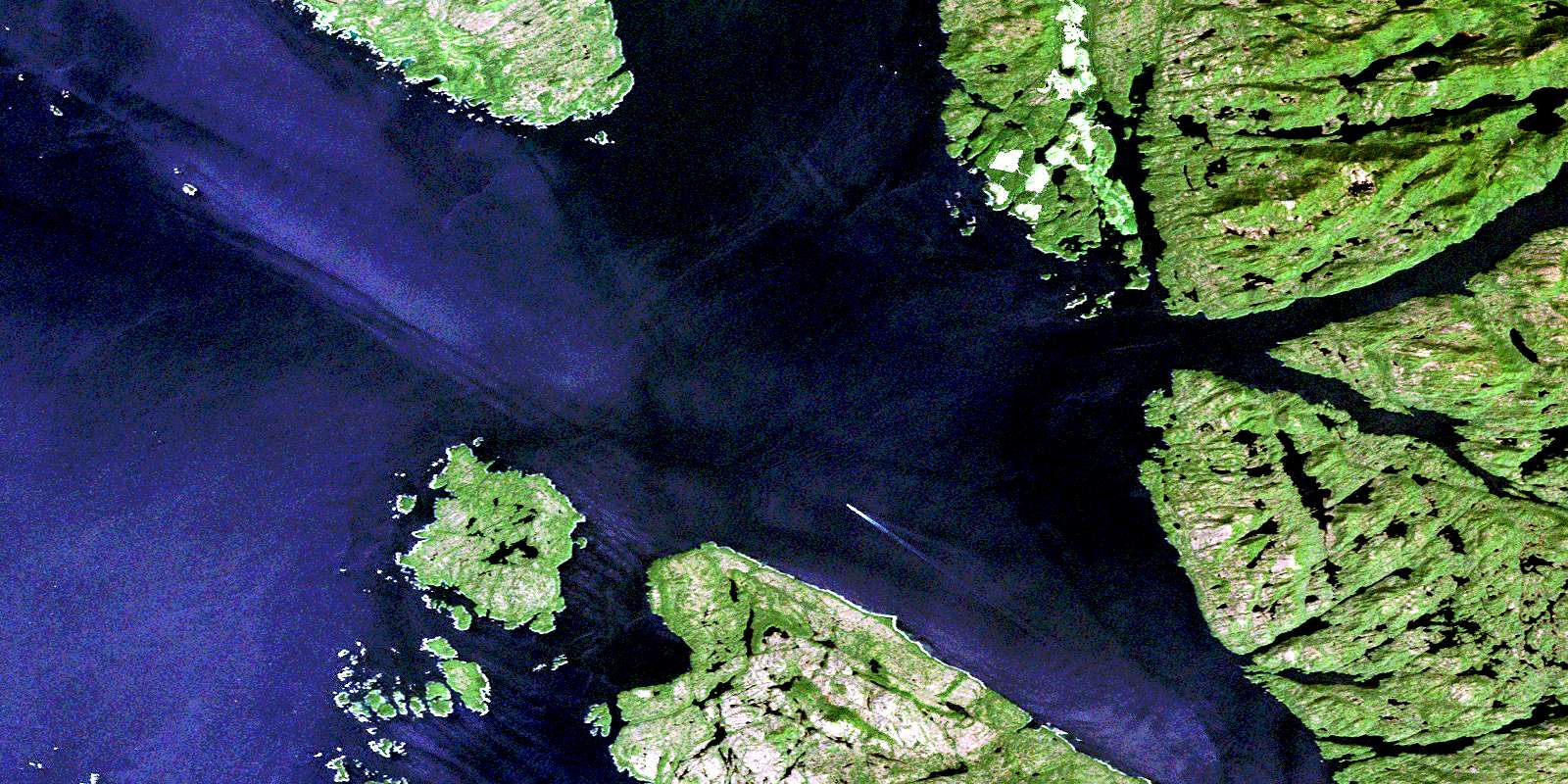
Caamano Sound Satellite Imagery
To view this satellite map, mouse over the air photo on the right.
You can also download this satellite image map for free:
103A14 Caamano Sound high-resolution satellite image map.
Maps for the Caamano Sound aerial map sheet 103A14 at 1:50,000 scale are also available in these versions:
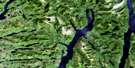
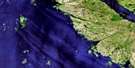
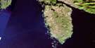
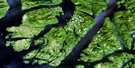
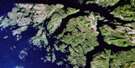
Caamano Sound Surrounding Area Aerial Photo Maps
 |
 |
 |
 |
 |
 |
 |
|
 |
 |
 |
|
 |
© Department of Natural Resources Canada. All rights reserved.
Caamano Sound Gazetteer
The following places can be found on satellite image map 103A14 Caamano Sound:
Caamano Sound Satellite Image: Bays
Argyh CoveBone Anchorage
Carne Bay
Chapple Inlet
Clarke Cove
Commando Inlet
Doig Anchorage
Emily Carr Inlet
Evinrude Inlet
Helmcken Inlet
Kiln Bay
Racey Inlet
Surf Inlet
Caamano Sound Satellite Image: Capes
Baker PointBryant Point
Chettleburgh Point
Eclipse Point
Hawkins Peninsula
Hawkins Point
Johnstone Point
Mallandaine Point
McKechnie Point
McPhee Point
Oswald Point
Pearse Point
Ulric Point
Caamano Sound Satellite Image: Channels
Caamaño SoundCampania Sound
Estevan Sound
Holgate Passage
Laredo Channel
Leadman Passage
Meiss Passage
Parker Passage
Caamano Sound Satellite Image: Indian Reserves
Lackzuswadda Indian Reserve 9Réserve indienne Lackzuswadda 9
Caamano Sound Satellite Image: Islands
Alexander IslandsAnderson Islands
Aristazabal Island
Baile Island
Beaven Islands
Campania Island
Duckers Islands
Dupont Island
Glide Islands
Hicks Island
Jay Islands
Princess Royal Island
Rennison Island
Sager Islands
Smithers Island
Tuzo Islands
Wale Island
Wall Islands
Walls Islands
Webber Island
Caamano Sound Satellite Image: Mountains
Coast MountainsKitimat Ranges
Knight Range
Mount Parizeau
Murphy Range
Nob Hill
Caamano Sound Satellite Image: Major municipal/district area - major agglomerations
Regional District of Kitimat-StikineCaamano Sound Satellite Image: Shoals
Blinder RockCliffe Rock
Cox Rocks
Hallet Rock
Holler Rock
Laundy Rock
Morehouse Rock
Shakespeare Banks
Wearmouth Rock
Woods Shoal
© Department of Natural Resources Canada. All rights reserved.
