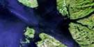
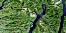
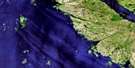
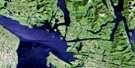
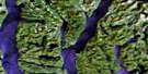
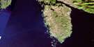
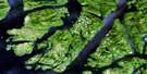
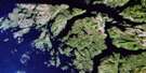
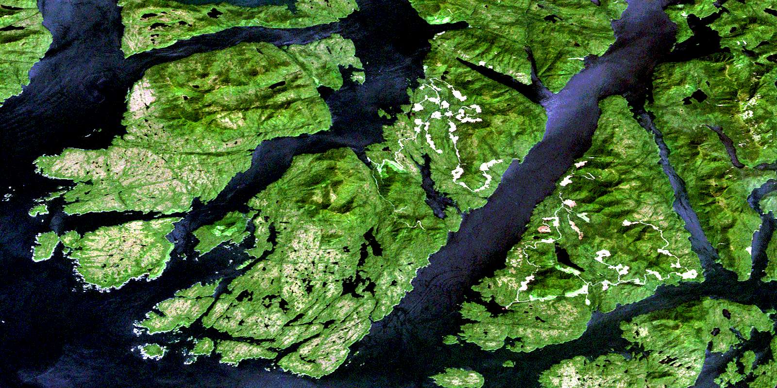
Spiller Channel Satellite Image Map
Download Free Aerial Photo 103A08 at 1:50,000 scale
Spiller Channel Satellite Imagery
To view this satellite map, mouse over the air photo on the right.
You can also download this satellite image map for free:
103A08 Spiller Channel high-resolution satellite image map.
Maps for the Spiller Channel aerial map sheet 103A08 at 1:50,000 scale are also available in these versions:
Spiller Channel Surrounding Area Aerial Photo Maps
 |
 |
 |
 |
 |
 |
 |
|
 |
 |
 |
|
 |
© Department of Natural Resources Canada. All rights reserved.
Spiller Channel Gazetteer
The following places can be found on satellite image map 103A08 Spiller Channel:
Spiller Channel Satellite Image: Bays
Berry InletBlair Inlet
Boat Inlet
Briggs Inlet
Bulley Bay
Bushby Bight
Cockle Bay
Emily Bay
Evening Cove
Grappler Bight
King Cove
Lambard Inlet
Morehouse Bay
Morris Bay
Mosquito Bay
Mouat Cove
Neekas Cove
Neekas Inlet
Nowish Inlet
Oliver Cove
Passage Cove
Perrin Anchorage
Port Blackney
Powell Anchorage
Salmon Bay
Spiller Inlet
Suzette Bay
Tom Bay
Wigham Cove
Yeo Cove
Spiller Channel Satellite Image: Capes
Agnes PointBailey Point
Bear Point
Bend Point
Bird Point
Boulder Head
Brew Point
Buckley Head
Bush Point
Cameron Point
Carmichael Point
Coldwell Peninsula
Coldwell Point
Cross Point
Diver Point
Don Peninsula
Donald Point
Dove Point
Early Point
Emily Peninsula
Emily Point
Ettershank Point
Ettershanks Point
Fisher Point
Florence Peninsula
Gerald Point
Grautoff Point
Graven Point
Guard Point
Hyde Point
Jermaine Point
Jorkins Point
Keith Point
Kent Point
Knarled Point
Lang Point
Legace Point
Lillie Point
McArthur Point
Miall Point
Nealon Point
Promise Point
Rankin Point
Robb Point
Salal Point
Schubert Point
Stapleton Point
Sun Point
Swindle Point
Symonds Point
Ursus Point
Spiller Channel Satellite Image: Channels
Balagny PassageBullock Channel
Clam Passage
Early Passage
Finlayson Channel
Lady Trutch Passage
Mathieson Channel
Merilia Passage
Milbanke Sound
Moss Passage
Oscar Passage
Perceval Narrows
Reid Passage
Return Channel
Seaforth Channel
Sloop Narrows
Spiller Channel
Troup Narrows
Troup Passage
Spiller Channel Satellite Image: Indian Reserves
Grief Island Indian Reserve 2Kokyet Indian Reserve 1
Kyarti Indian Reserve 3
Neekas Indian Reserve 4
Réserve indienne Grief Island 2
Réserve indienne Kokyet 1
Réserve indienne Kyarti 3
Réserve indienne Neekas 4
Réserve indienne Tankeah 5
Réserve indienne Yeo Island 13
Tankeah Indian Reserve 5
Yeo Island Indian Reserve 13
Spiller Channel Satellite Image: Islands
Alec IsletArthur Island
Beak Island
Branks Islet
Canoe Island
Cecilia Island
Chatfield Island
Cunningham Island
Dakin Islets
Dallas Island
De Freitas Islets
Dearth Island
Detached Islet
Dowager Island
Evening Islets
Factor Islets
Foote Islets
Gaudin Islands
Glaholm Islet
Grief Island
Hannah Island
Harmston Island
Hay Island
Image Island
Ivory Island
Lady Douglas Island
Lake Island
Law Islands
Leighton Island
Lilly Islet
Locke Island
Lorne Islet
Martha Island
Mid Island
Nathan Island
Oke Islet
Reef Islet
Roar Islets
Salal Island
South Island
Squaw Island
Surf Islet
Susan Island
Swindle Island
Tear Islet
Walter Islet
Watch Island
Wootton Islet
Yeo Island
Spiller Channel Satellite Image: Lakes
Cheenis LakeEmily Lake
Tate Lagoon
Yeo Lake
Spiller Channel Satellite Image: Mountains
Chaîne CôtièreCoast Mountains
Helmet Peak
Hyne Range
Kitimat Ranges
Lake Mountain
Mount Bell
Mount Jane
Mount Stripe
Orton Hill
Spiller Channel Satellite Image: Major municipal/district area - major agglomerations
Central Coast Regional DistrictRegional District of Kitimat-Stikine
Spiller Channel Satellite Image: Conservation areas
Oliver Cove Marine ParkSpiller Channel Satellite Image: Rivers
Neekas CreekNeekas River
Tankeeah River
Tuno Creek
Spiller Channel Satellite Image: Shoals
Ada ShoalAurelia Rock
Boulder Bank
Boulder Ledge
Bullen Rock
Carne Rock
Cod Bank
Cod Reefs
Colonel Reef
Cross Ledge
Deep Rock
Detached Rock
Diver Rock
Fellowes Rock
Flounce Reef
Holt Rock
Hyndman Reefs
Insley Rock
Joanna Rock
Kitty Patch
Lizzie Rocks
Mouse Rock
Muster Rock
Nedden Rock
Porter Reef
Rat Rock
Restless Rock
Shingle Rock
Skinner Rock
© Department of Natural Resources Canada. All rights reserved.
