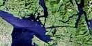
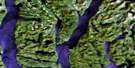
Dewdney Island Satellite Image Map
Download Free Aerial Photo 103A13 at 1:50,000 scale
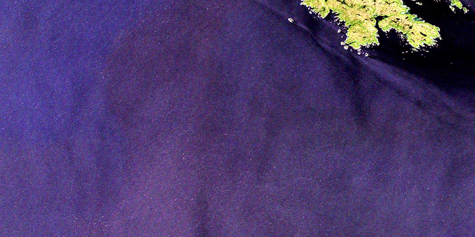
Dewdney Island Satellite Imagery
To view this satellite map, mouse over the air photo on the right.
You can also download this satellite image map for free:
103A13 Dewdney Island high-resolution satellite image map.
Maps for the Dewdney Island aerial map sheet 103A13 at 1:50,000 scale are also available in these versions:
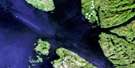
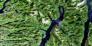
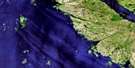
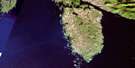
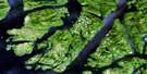
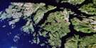
Dewdney Island Surrounding Area Aerial Photo Maps
 |
 |
 |
 |
 |
 |
 |
|
 |
 |
 |
|
 |
© Department of Natural Resources Canada. All rights reserved.
Dewdney Island Gazetteer
The following places can be found on satellite image map 103A13 Dewdney Island:
Dewdney Island Satellite Image: Bays
Gillen HarbourPemberton Bay
Dewdney Island Satellite Image: Capes
Goodacre PointThomson Point
Dewdney Island Satellite Image: Channels
Caamaño SoundHecate Strait
Dewdney Island Satellite Image: Islands
Adams IslandCarne Island
Dewdney Island
Estevan Group
Estevan Islands
Hickey Islands
Jacinto Islands
Macdonald Island
Peatt Islets
Porter Island
South Island
Dewdney Island Satellite Image: Major municipal/district area - major agglomerations
Regional District of Kitimat-StikineDewdney Island Satellite Image: Shoals
Aranzazu BanksBorthwick Rock
Cort Rock
Cran Shoal
Estevan Reef
Evans Rock
Janion Rock
Ness Rock
Robertson Rock
Sage Rock
Shannon Rock
Spencer Bank
Yates Shoal
© Department of Natural Resources Canada. All rights reserved.
