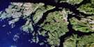
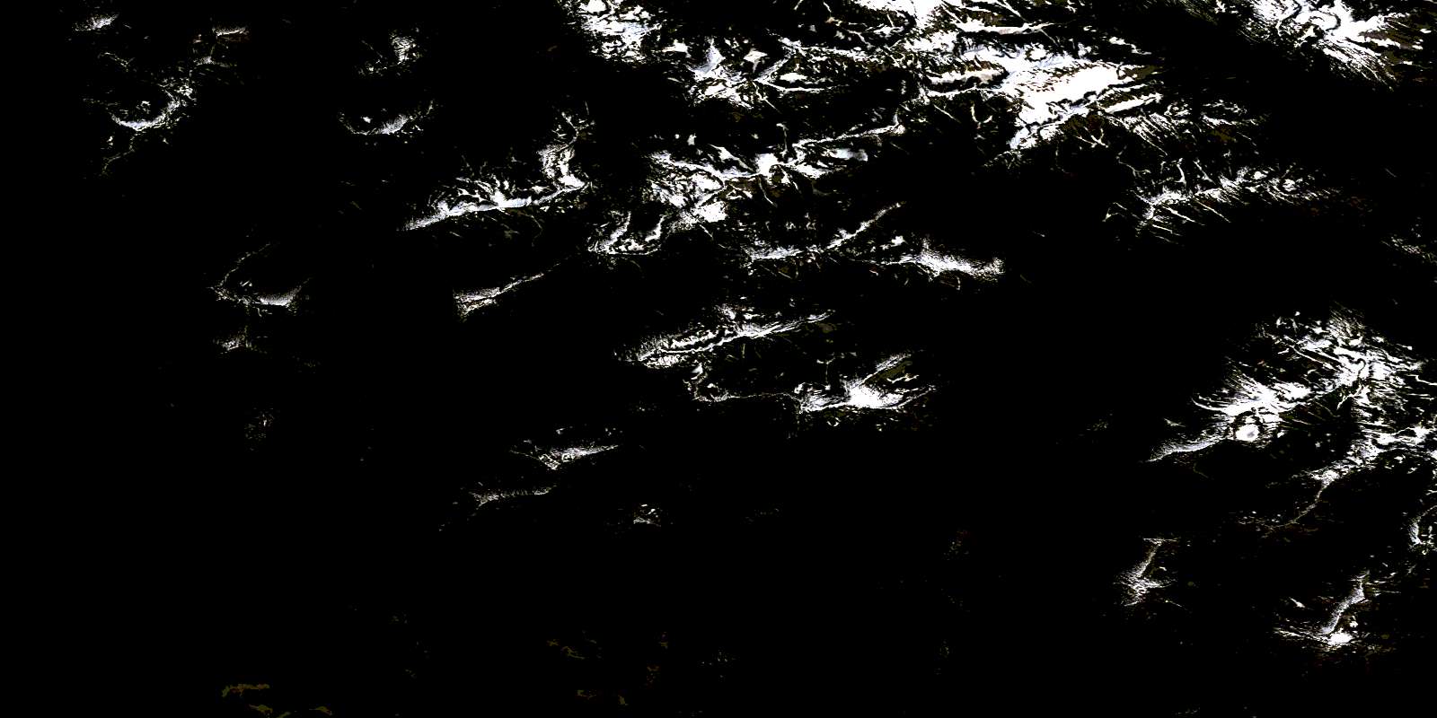
Sheep Passage Satellite Image Map
Download Free Aerial Photo 103A16 at 1:50,000 scale
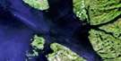
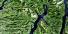
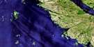
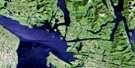
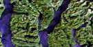
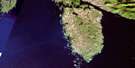
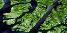
Sheep Passage Satellite Imagery
To view this satellite map, mouse over the air photo on the right.
You can also download this satellite image map for free:
103A16 Sheep Passage high-resolution satellite image map.
Maps for the Sheep Passage aerial map sheet 103A16 at 1:50,000 scale are also available in these versions:
Sheep Passage Surrounding Area Aerial Photo Maps
 |
 |
 |
 |
 |
 |
 |
|
 |
 |
 |
|
 |
© Department of Natural Resources Canada. All rights reserved.
Sheep Passage Gazetteer
The following places can be found on satellite image map 103A16 Sheep Passage:
Sheep Passage Satellite Image: Bays
Bolin BayCarter Bay
David Bay
Desbrisay Bay
Goat Cove
Green Inlet
Heathorn Bay
Horsefly Cove
Kid Bay
Kynoch Inlet
Mussel Bay
Mussel Inlet
Oatswish Bay
Poison Cove
Windy Bay
Work Bay
Sheep Passage Satellite Image: Capes
Adze PointBaffle Point
Barrie Point
Carse Point
Carter Point
Crosson Point
Fawn Point
Finlayson Head
Garvey Point
Kynoch Point
Lime Point
Mathieson Point
Netherby Point
Sheep Passage Satellite Image: Channels
Beauchemin ChannelFinlayson Channel
Griffin Passage
Hiekish Narrows
Mathieson Channel
Mathieson Narrows
Sheep Passage
Sheep Passage Satellite Image: Cliffs
Goat BluffSheep Passage Satellite Image: Indian Reserves
Oatswish Indian Reserve 13Réserve indienne Oatswish 13
Sheep Passage Satellite Image: Islands
Hewitt IslandPooley Island
Roderick Island
Sarah Island
Thomas Islet
Sheep Passage Satellite Image: Lakes
Carter LakeDavid Lake
Green Lagoon
Hallet Lake
Korich Lake
Lizette Lake
McAlpin Lake
Wallace Lake
Sheep Passage Satellite Image: Mountains
Chaîne CôtièreCoast Mountains
Kitimat Ranges
Sheep Passage Satellite Image: Major municipal/district area - major agglomerations
Regional District of Kitimat-StikineSheep Passage Satellite Image: Conservation areas
Fiordland Recreation AreaGreen Inlet Marine Park
Sheep Passage Satellite Image: Rivers
Carter RiverFeeder Creek
Joe Creek
Lessum Creek
Lizette Creek
McAlpin Creek
Mussel River
Oriental Creek
Poison Cove Creek
Sheep Passage Satellite Image: Shoals
Hewitt RockOhio Rock
© Department of Natural Resources Canada. All rights reserved.
