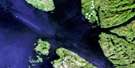
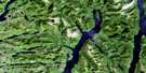
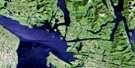
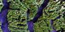
Roderick Island Satellite Image Map
Download Free Aerial Photo 103A09 at 1:50,000 scale
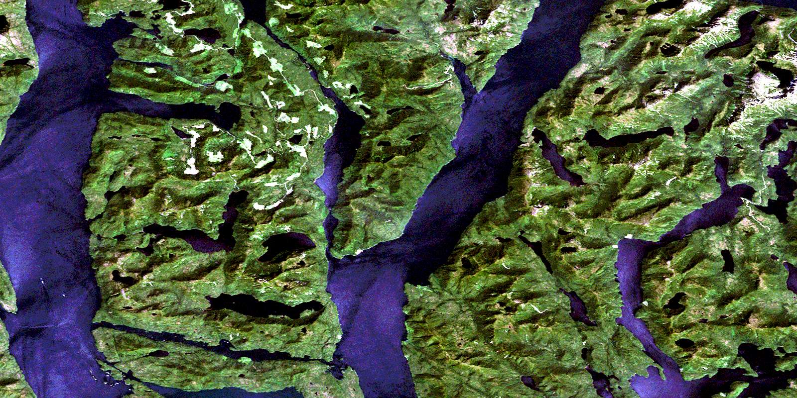
Roderick Island Satellite Imagery
To view this satellite map, mouse over the air photo on the right.
You can also download this satellite image map for free:
103A09 Roderick Island high-resolution satellite image map.
Maps for the Roderick Island aerial map sheet 103A09 at 1:50,000 scale are also available in these versions:
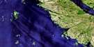
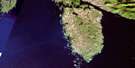
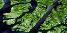
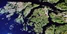
Roderick Island Surrounding Area Aerial Photo Maps
 |
 |
 |
 |
 |
 |
 |
|
 |
 |
 |
|
 |
© Department of Natural Resources Canada. All rights reserved.
Roderick Island Gazetteer
The following places can be found on satellite image map 103A09 Roderick Island:
Roderick Island Satellite Image: Bays
Bottleneck InletEllerslie Bay
James Bay
Kynoch Inlet
Lochalsh Bay
Mary Cove
North Arm
Nowish Cove
Nowish Inlet
Rescue Bay
Roderick Cove
Spiller Inlet
Wallace Bight
Watson Bay
Roderick Island Satellite Image: Capes
Bancroft PointBegg Point
Bolt Point
Charles Head
Coldwell Peninsula
Counsel Point
Denton Point
Don Peninsula
Emily Peninsula
Fell Point
Freeman Point
Golder Point
Hird Point
Howay Point
Kean Point
Pooley Point
Schofield Point
Spaniel Point
Waterfall Point
Roderick Island Satellite Image: Channels
Charles NarrowsFinlayson Channel
Griffin Passage
Jackson Narrows
Jackson Passage
Klemtu Passage
Mathieson Channel
Nowish Narrows
Roderick Island Satellite Image: Indian Reserves
Mary Cove Indian Reserve 12Réserve indienne Mary Cove 12
Réserve indienne Skilak 14
Skilak Indian Reserve 14
Roderick Island Satellite Image: Islands
Cone IslandDodd Islets
Miall Islet
Nowish Island
Pooley Island
Roderick Island
Sarah Island
Susan Island
Swindle Island
Roderick Island Satellite Image: Lakes
Cheenis LakeEllerslie Lagoon
Ellerslie Lake
Ingram Lake
McPherson Lake
Mooto Lake
Pine Lake
Roderick Lake
Snass Lake
Wallace Lake
Western Lake
Roderick Island Satellite Image: Mountains
Bell PeakChaîne Côtière
Coast Mountains
Kitimat Ranges
Roderick Island Satellite Image: Major municipal/district area - major agglomerations
Central Coast Regional DistrictRegional District of Kitimat-Stikine
Roderick Island Satellite Image: Conservation areas
Fiordland Recreation AreaJackson Narrows Marine Park
Roderick Island Satellite Image: Rivers
Ingram CreekMcPherson Creek
Mooto Creek
Neekas Creek
© Department of Natural Resources Canada. All rights reserved.
