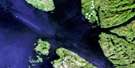
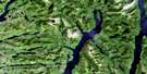
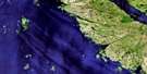
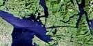
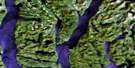
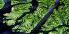
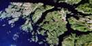
Laredo Sound Satellite Image Map
Download Free Aerial Photo 103A10 at 1:50,000 scale
Laredo Sound Satellite Imagery
To view this satellite map, mouse over the air photo on the right.
You can also download this satellite image map for free:
103A10 Laredo Sound high-resolution satellite image map.
Maps for the Laredo Sound aerial map sheet 103A10 at 1:50,000 scale are also available in these versions:
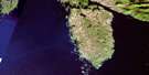
Laredo Sound Surrounding Area Aerial Photo Maps
 |
 |
 |
 |
 |
 |
 |
|
 |
 |
 |
|
 |
© Department of Natural Resources Canada. All rights reserved.
Laredo Sound Gazetteer
The following places can be found on satellite image map 103A10 Laredo Sound:
Laredo Sound Satellite Image: Bays
Alexander InletAlston Cove
Brown Cove
Cann Inlet
Clothes Bay
Corney Cove
Cougar Bay
Jorgensen Harbour
Kent Inlet
Kitasu Bay
Klemtu Anchorage
Laredo Inlet
McRae Cove
Monk Bay
Osment Inlet
Palmer Anchorage
Parsons Anchorage
Passage Cove
Srigley Cove
Trahey Inlet
Trout Bay
Laredo Sound Satellite Image: Capes
Base PointBerry Point
Cullum Point
Dallain Point
Ditmars Point
Errigal Point
Fernie Point
Freshwater Point
Hague Point
Hartnell Point
Hilbert Point
Jamieson Point
Klemtu Point
Larkin Point
Legge Point
Mansell Point
Nash Point
Pering Point
Reef Point
Saunders Point
Split Head
Tildesley Point
Tunis Point
Waser Point
Wedge Point
Wilby Point
Wingate Point
Laredo Sound Satellite Image: Channels
Bingham NarrowsFinlayson Channel
Jane Passage
Klemtu Passage
Laredo Channel
Laredo Sound
Meyers Narrows
Meyers Passage
North Passage
Sarah Passage
South Passage
Thistle Passage
Tolmie Channel
Laredo Sound Satellite Image: Cliffs
Boat BluffLaredo Sound Satellite Image: Indian Reserves
Dil-ma-sow Indian Reserve 5Kinmakanksk Indian Reserve 6
Kitasoo Indian Reserve 1
Lattkaloup Indian Reserve 9
Quckwa Indian Reserve 7
Réserve indienne Dil-ma-sow 5
Réserve indienne Kinmakanksk 6
Réserve indienne Kitasoo 1
Réserve indienne Lattkaloup 9
Réserve indienne Quckwa 7
Laredo Sound Satellite Image: Islands
Abrams IslandAitken Islands
Aristazabal Island
Cone Island
Croft Island
Draper Islets
Fish Island
Hastings Island
Jane Island
Jessop Island
Laidlaw Islands
Marvin Islands
Milne Island
Observation Islet
Princess Royal Island
Sarah Island
Star Island
Stockade Island
Stockade Islets
Swindle Island
Tenas Island
Laredo Sound Satellite Image: Lakes
Baron LakeHiggins Lagoon
Kitasoo Lake
Kitasu Lake
Laredo Sound Satellite Image: Mountains
Chaîne CôtièreCoast Mountains
Cone Mountain
Kitasu Hill
Kitimat Ranges
Learmonth Mountain
Mount Learmonth
Mount Learmouth
Nares Hills
Richardson Range
South Needle Peak
Laredo Sound Satellite Image: Major municipal/district area - major agglomerations
Regional District of Kitimat-StikineLaredo Sound Satellite Image: Rivers
Baron CreekBlee Creek
Kitasoo Creek
Kitasu Creek
Klemtu Creek
Kwakwa Creek
Powles Creek
Quigley Creek
Laredo Sound Satellite Image: Shoals
Deas RockDuffy Rock
Ellard Rock
Gaudin Rock
Haig Rock
Hazard Rock
Hogan Bank
Hume Rocks
Jane Patch
Needle Rock
Parry Patch
Pride Rock
Walsh Rock
Wedge Rock
Wilson Rock
Laredo Sound Satellite Image: Unincorporated areas
Klemtu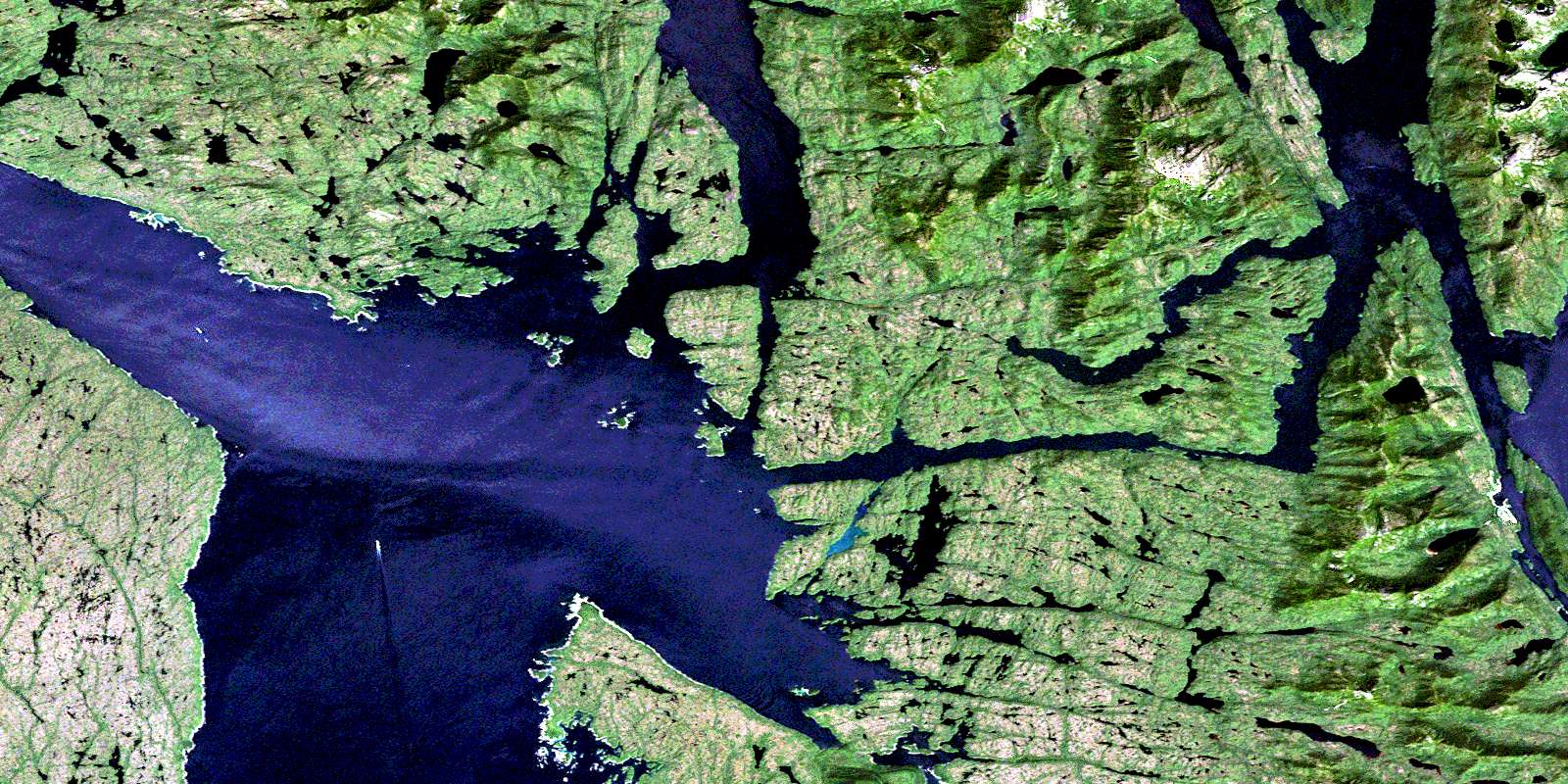
© Department of Natural Resources Canada. All rights reserved.
