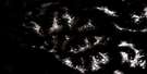
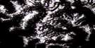
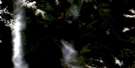
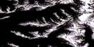
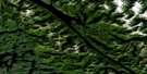
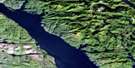
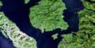
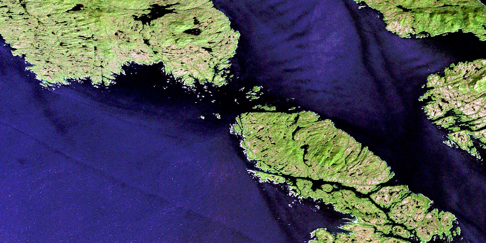
Trutch Island Satellite Image Map
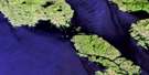
Download Free Aerial Photo 103H04 at 1:50,000 scale
Trutch Island Satellite Imagery
To view this satellite map, mouse over the air photo on the right.
You can also download this satellite image map for free:
103H04 Trutch Island high-resolution satellite image map.
Maps for the Trutch Island aerial map sheet 103H04 at 1:50,000 scale are also available in these versions:
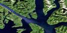
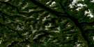
Trutch Island Surrounding Area Aerial Photo Maps
 |
 |
 |
 |
 |
 |
 |
 |
 |
 |
 |
 |
 |
 |
 |
 |
© Department of Natural Resources Canada. All rights reserved.
Trutch Island Gazetteer
The following places can be found on satellite image map 103H04 Trutch Island:
Trutch Island Satellite Image: Bays
Betteridge InletCalamity Bay
Calamity Harbour
Devlin Bay
Dillon Bay
Ethelda Bay
Geodetic Cove
Harwood Bay
Lindsay Bay
Murray Anchorage
Oswald Bay
Saycuritay Cove
Sharp Bay
Weinberg Inlet
Trutch Island Satellite Image: Capes
Cox PointDeer Point
Fairchild Point
Finlayson Peninsula
Finnerty Point
Fleishman Point
Flynn Point
Harlan Point
Humphreys Point
Le Jeune Point
McCreight Point
Paige Point
Ring Point
Spearer Point
Terror Point
Wolf Point
Trutch Island Satellite Image: Channels
Anderson PassageDunn Passage
Estevan Sound
Gillespie Channel
Hecate Strait
Langley Passage
Nepean Sound
Otter Channel
Otter Passage
Principe Channel
Trouble Passage
Trutch Island Satellite Image: Indian Reserves
Citeyats Indian Reserve 9Kitlawaoo Indian Reserve 10
Réserve indienne Citeyats 9
Réserve indienne Kitlawaoo 10
Trutch Island Satellite Image: Islands
Banks IslandBarnard Island
Block Islands
Breaker Islets
Campania Island
Cone Island
Dewdney Island
East Island
Estevan Group
Estevan Islands
Hickey Islands
Joseph Island
Laithwood Island
Langthorne Island
Lotbinière Island
Man Island
Nichol Island
North Island
Pitt Island
Principe Islets
Prior Island
Sekani Island
Sisters Islands
South Island
Tennant Island
Trap Islands
Trutch Island
Trutch Island Satellite Image: Mountains
Carlo RangeCoast Mountains
Kitimat Ranges
Musgrave Peaks
Musgrave Range
Trutch Island Satellite Image: Major municipal/district area - major agglomerations
Regional District of Kitimat-StikineTrutch Island Satellite Image: Shoals
Agassiz BanksBland Rocks
Boyko Rock
Brodie Rock
Clifford Rocks
Crews Rock
Marble Rock
Marchant Rock
Michael Bank
Narwhal Reef
Nepean Rock
Sekani Reef
Trap Rocks
© Department of Natural Resources Canada. All rights reserved.
103H Related Maps:
103H Douglas Channel103H01 Khutze River
103H02 Butedale
103H03 Gil Island
103H04 Trutch Island
103H05 Port Stephens
103H06 Hartley Bay
103H07 Ursula Channel
103H08 Gardner Canal
103H09 Brim River
103H10 Devastation Channel
103H11 Kitkiata Inlet
103H12 Lowe Inlet
103H13 Kumealon Lake
103H14 Foch Lagoon
103H15 Kitimat Arm
103H16 Kildala Arm
