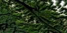
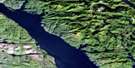
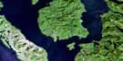
Hartley Bay Satellite Image Map
Download Free Aerial Photo 103H06 at 1:50,000 scale
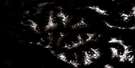
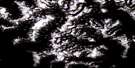
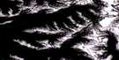
Hartley Bay Satellite Imagery
To view this satellite map, mouse over the air photo on the right.
You can also download this satellite image map for free:
103H06 Hartley Bay high-resolution satellite image map.
Maps for the Hartley Bay aerial map sheet 103H06 at 1:50,000 scale are also available in these versions:
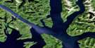
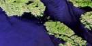
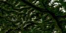
Hartley Bay Surrounding Area Aerial Photo Maps
 |
 |
 |
 |
 |
 |
 |
 |
 |
 |
 |
 |
 |
 |
 |
 |
© Department of Natural Resources Canada. All rights reserved.
Hartley Bay Gazetteer
The following places can be found on satellite image map 103H06 Hartley Bay:
Hartley Bay Satellite Image: Bays
Brant BayCoghlan Anchorage
Curlew Bay
Fisherman Cove
Hartley Bay
Hawk Bay
Home Bay
Malsey Bay
Minnis Bay
Mitchell Cove
Hartley Bay Satellite Image: Capes
Black Fly PointBlackfly Point
Block Head
Blossom Point
Brodie Point
Buckle Point
Camp Point
Cape Farewell
Corbett Point
Davenport Point
Dawson Point
Hale Point
Halsey Point
Jenkinson Point
Juan Point
Leading Point
Letitia Point
Maple Point
Mollison Point
Money Point
Mosley Point
Nelly Point
Nessie Point
Observation Point
Plover Point
Point Cumming
Sainty Point
Stephens Point
Sutton Point
Swirl Point
Thom Point
Transit Point
Trivett Point
Turtle Point
Waterman Point
Wilman Point
Yolk Point
Hartley Bay Satellite Image: Channels
Cridge PassageDouglas Channel
Grenville Channel
Hawkins Narrows
Hoey Narrows
Lewis Passage
Payne Channel
Peters Narrows
Stewart Narrows
Union Passage
Verney Passage
Whale Channel
Wright Sound
Hartley Bay Satellite Image: Indian Reserves
Gribble Island Indian Reserve 10Kulkayu (Hartley Bay) Indian Reserve 4
Kulkayu (Hartley Bay) Indian Reserve 4A
Lachkul-jeets Indian Reserve 6
Réserve indienne Gribble Island 10
Réserve indienne Kulkayu (Hartley Bay) 4
Réserve indienne Kulkayu (Hartley Bay) 4A
Réserve indienne Lachkul-jeets 6
Réserve indienne Tsimtack 7
Réserve indienne Turtle Point 12
Tsimtack Indian Reserve 7
Turtle Point Indian Reserve 12
Hartley Bay Satellite Image: Islands
Ascroft IsletBlenkinsop Islet
EdwardsIslet
Farrant Island
Fin Island
Gil Island
Gribbell Island
Hawkesbury Island
Hinton Island
Howard Islet
Pitt Island
Princess Royal Island
Promise Island
Hartley Bay Satellite Image: Lakes
Belowe LakeGamble Lake
Lower Lake
Moore Lake
Tsimtack Lake
Whalen Lake
Hartley Bay Satellite Image: Mountains
Chaîne CôtièreCoast Mountains
Countess of Dufferin Range
Kitimat Ranges
Mount Brodie
Mount Frye
Mount Gil
Mount Jenkinson
Mount Patterson
Mount Pitt
Mount Pocock
Mount Smiles
Mount White
Wimbledon Mountains
Wimbledon Range
Hartley Bay Satellite Image: Major municipal/district area - major agglomerations
Regional District of Kitimat-StikineHartley Bay Satellite Image: Conservation areas
Union Passage Marine ParkHartley Bay Satellite Image: Rivers
Belowe CreekGabion River
Whalen Creek
Hartley Bay Satellite Image: River features
McKay ReachHartley Bay Satellite Image: Shoals
Betton RocksGil Rock
Harbour Rock
Otter Shoal
Hartley Bay Satellite Image: Unincorporated areas
Hartley Bay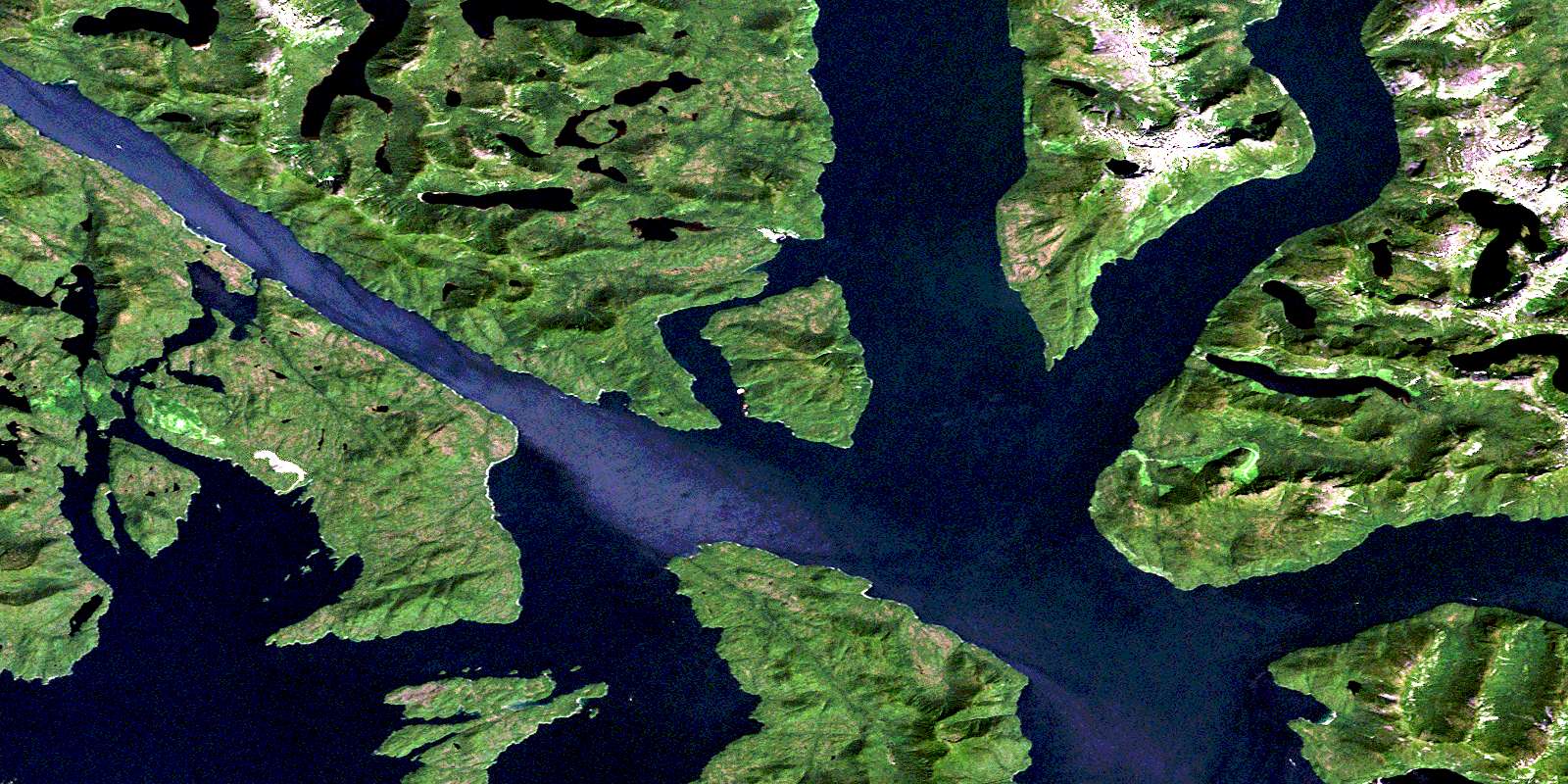
© Department of Natural Resources Canada. All rights reserved.
103H Related Maps:
103H Douglas Channel103H01 Khutze River
103H02 Butedale
103H03 Gil Island
103H04 Trutch Island
103H05 Port Stephens
103H06 Hartley Bay
103H07 Ursula Channel
103H08 Gardner Canal
103H09 Brim River
103H10 Devastation Channel
103H11 Kitkiata Inlet
103H12 Lowe Inlet
103H13 Kumealon Lake
103H14 Foch Lagoon
103H15 Kitimat Arm
103H16 Kildala Arm
