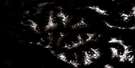
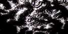
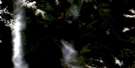
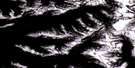
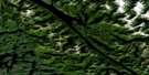
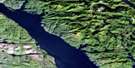
Lowe Inlet Satellite Image Map
Download Free Aerial Photo 103H12 at 1:50,000 scale
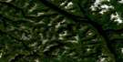
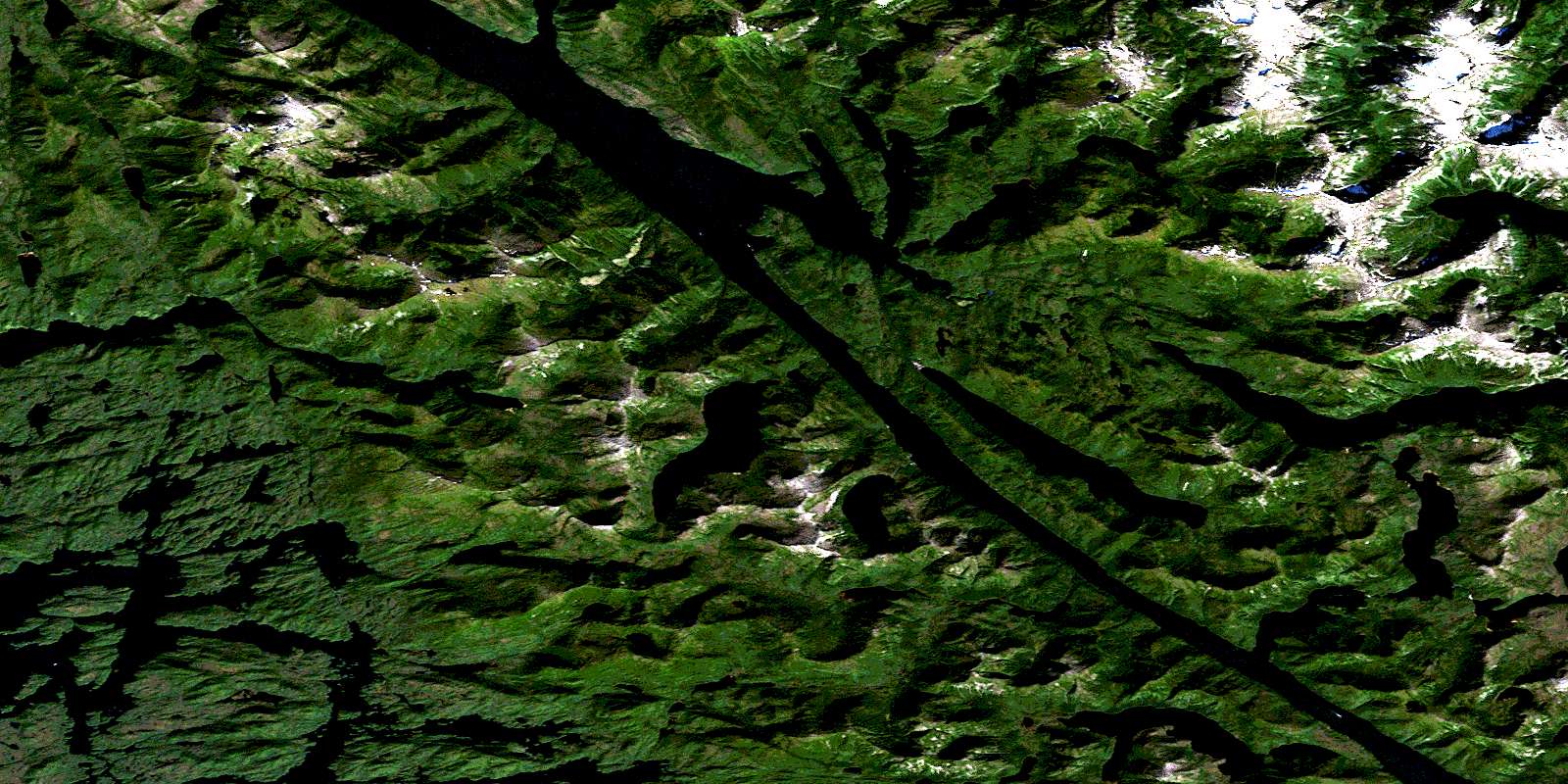
Lowe Inlet Satellite Imagery
To view this satellite map, mouse over the air photo on the right.
You can also download this satellite image map for free:
103H12 Lowe Inlet high-resolution satellite image map.
Maps for the Lowe Inlet aerial map sheet 103H12 at 1:50,000 scale are also available in these versions:
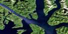
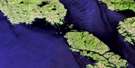
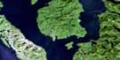
Lowe Inlet Surrounding Area Aerial Photo Maps
 |
 |
 |
 |
 |
 |
 |
 |
 |
 |
 |
 |
 |
 |
 |
 |
© Department of Natural Resources Canada. All rights reserved.
Lowe Inlet Gazetteer
The following places can be found on satellite image map 103H12 Lowe Inlet:
Lowe Inlet Satellite Image: Bays
Anger AnchorageAnger Inlet
Cosine Bay
Curtis Inlet
East Inlet
Exposed Arm
Exposed Inlet
Hevenor Inlet
Ire Inlet
Klewnuggit Inlet
Kxngeal Inlet
Lowe Inlet
Markle Inlet
Nabannah Bay
Nettle Basin
Ship Anchorage
Wilson Inlet
Wright Inlet
Lowe Inlet Satellite Image: Capes
Anger PointCamp Point
Cosine Point
David Point
Don Point
Evening Point
Hepburn Point
James Point
Logarithm Point
Morning Point
Ormiston Point
Ormond Point
Pike Point
Rogers Point
Silas Point
Sine Point
Tangent Point
Lowe Inlet Satellite Image: Channels
Ala NarrowsAla Passage
Clear Passage
Evinrude Passage
Grenville Channel
Markle Passage
Wright Narrows
Lowe Inlet Satellite Image: Cliffs
Mark BluffPurple Cliff
Tree Bluff
Lowe Inlet Satellite Image: Falls
Verney FallsLowe Inlet Satellite Image: Indian Reserves
Iakgwas Indian Reserve 69Ketai Indian Reserve 28
Kitsemenlagan Indian Reserve 19
Kitsemenlagan Indian Reserve 19A
Kumowdah Indian Reserve 3
Réserve indienne Iakgwas 69
Réserve indienne Ketai 28
Réserve indienne Kitsemenlagan 19
Réserve indienne Kitsemenlagan 19A
Réserve indienne Kumowdah 3
Réserve indienne Tsimlairen 15
Tsimlairen Indian Reserve 15
Lowe Inlet Satellite Image: Islands
Anger IslandAzimuth Island
Bare Islet
Clark Islet
Cosine Island
Harriot Island
Leading Island
Markle Island
Pitt Island
Sine Island
Tangent Island
Tom Island
West Islet
Lowe Inlet Satellite Image: Lakes
Batchellor LakeBrodie Lake
Freda Lake
Gavel Lake
Hevenor Lagoon
Lowe Lake
Salter Lake
Saunders Lake
Simpson Lake
Sylvia Lake
Weare Lake
Wyndham Lake
Lowe Inlet Satellite Image: Mountains
Anchor ConeBare Top Range
Burnaby Mountains
Burnaby Range
Chaîne Côtière
Coast Mountains
Countess of Dufferin Range
Kitimat Ranges
Mount Batchellor
Mount Saunders
Sylvan Peak
Twin Mountains
Twin Peaks
Lowe Inlet Satellite Image: Major municipal/district area - major agglomerations
Regional District of Kitimat-StikineLowe Inlet Satellite Image: Conservation areas
Klewnuggit Inlet Marine ParkLowe Inlet Marine Park
Lowe Inlet Satellite Image: Rapids
Freda RapidsLowe Inlet Satellite Image: Rivers
Batchellor CreekKumowadah River
Kumowdah River
Paaat River
Pa-aat River
Salmon River
Saunders Creek
Stella Creek
Sylvia Creek
Lowe Inlet Satellite Image: Shoals
Barrier IslandBarrier Rock
Morning Reef
Whiting Bank
© Department of Natural Resources Canada. All rights reserved.
103H Related Maps:
103H Douglas Channel103H01 Khutze River
103H02 Butedale
103H03 Gil Island
103H04 Trutch Island
103H05 Port Stephens
103H06 Hartley Bay
103H07 Ursula Channel
103H08 Gardner Canal
103H09 Brim River
103H10 Devastation Channel
103H11 Kitkiata Inlet
103H12 Lowe Inlet
103H13 Kumealon Lake
103H14 Foch Lagoon
103H15 Kitimat Arm
103H16 Kildala Arm
