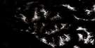
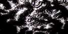
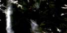
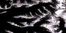
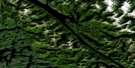
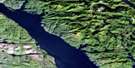
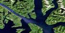
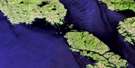
Port Stephens Satellite Image Map
Download Free Aerial Photo 103H05 at 1:50,000 scale
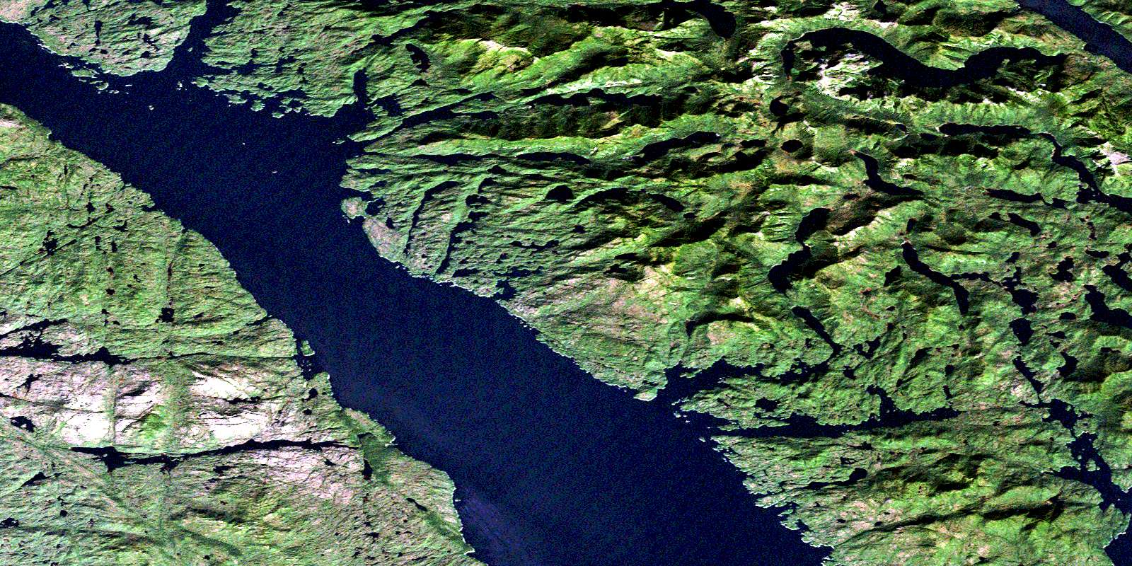
Port Stephens Satellite Imagery
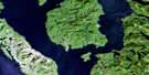
To view this satellite map, mouse over the air photo on the right.
You can also download this satellite image map for free:
103H05 Port Stephens high-resolution satellite image map.
Maps for the Port Stephens aerial map sheet 103H05 at 1:50,000 scale are also available in these versions:
Port Stephens Surrounding Area Aerial Photo Maps
 |
 |
 |
 |
 |
 |
 |
 |
 |
 |
 |
 |
 |
 |
 |
 |
© Department of Natural Resources Canada. All rights reserved.
Port Stephens Gazetteer
The following places can be found on satellite image map 103H05 Port Stephens:
Port Stephens Satellite Image: Bays
Anger InletBuchan Inlet
Burns Bay
Curtis Inlet
Hodgson Cove
Ire Inlet
Kooryet Bay
Limestone Bay
Lundy Cove
Miller Inlet
Mink Trap Bay
Monckton Inlet
Moolock Cove
Patterson Inlet
Port Stephens
Toowartz Inlet
Tuwartz Inlet
Port Stephens Satellite Image: Capes
Annie PointBecker Point
Bluff Point
Centre Point
Despair Point
Elsfield Point
Gale Point
Keecha Point
Leggeat Point
Littlejohn Point
Monckton Point
Oar Point
Tweedsmuir Point
Port Stephens Satellite Image: Channels
Ala PassageGrenville Channel
Principe Channel
Stephens Narrows
Tuwartz Narrows
Port Stephens Satellite Image: Indian Reserves
Clowel Indian Reserve 13Keecha Indian Reserve 11
Kitlawaoo Indian Reserve 10
Kooryet Indian Reserve 12
Réserve indienne Clowel 13
Réserve indienne Keecha 11
Réserve indienne Kitlawaoo 10
Réserve indienne Kooryet 12
Réserve indienne Sheganny 14
Réserve indienne Toowartz 8
Réserve indienne Tsimlairen 15
Sheganny Indian Reserve 14
Toowartz Indian Reserve 8
Tsimlairen Indian Reserve 15
Port Stephens Satellite Image: Islands
Anger IslandBanks Island
Cranston Island
Ettershank Islands
Greentop Islet
Kooryet Island
Lock Island
Pitt Island
Ralston Islands
Roy Island
Rungé Island
Sewell Islet
Trade Islands
Trade Islets
Port Stephens Satellite Image: Lakes
Cridge LagoonDevon Lake
Keecha Lake
Kooryet Lake
Leavitt Lagoon
Moore Lake
Red Bluff Lake
Roger Lake
Stephen Nelson Lake
Tsemhara Lake
Tuwartz Lake
Vandenbergh Lake
Waller Lake
Waller Lakes
Port Stephens Satellite Image: Mountains
Bare HillCarlo Range
Coast Mountains
Countess of Dufferin Range
Joseph Hill
Kitimat Ranges
Mount Frank
Mount Hulke
Mount Patterson
Port Stephens Satellite Image: Major municipal/district area - major agglomerations
Regional District of Kitimat-StikinePort Stephens Satellite Image: Rivers
Keecha CreekKooryet Creek
Red Bluff Creek
Port Stephens Satellite Image: Shoals
Nesbitt RockPeck Shoal
Port Stephens Satellite Image: Unincorporated areas
KitkatlahSheganny Reserve
© Department of Natural Resources Canada. All rights reserved.
103H Related Maps:
103H Douglas Channel103H01 Khutze River
103H02 Butedale
103H03 Gil Island
103H04 Trutch Island
103H05 Port Stephens
103H06 Hartley Bay
103H07 Ursula Channel
103H08 Gardner Canal
103H09 Brim River
103H10 Devastation Channel
103H11 Kitkiata Inlet
103H12 Lowe Inlet
103H13 Kumealon Lake
103H14 Foch Lagoon
103H15 Kitimat Arm
103H16 Kildala Arm
