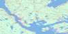
Cape George Topo Map Online
Download Free Topo Map Sheet 011F13 at 1:50,000 scale
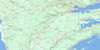
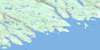
011F13 Cape George Topo Map
To view this map, mouse over the map preview on the right.
You can also download this topo map for free:
011F13 Cape George high-resolution topo map image.
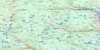
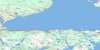
Maps for the Cape George topo map sheet 011F13 at 1:50,000 scale are also available in these versions:
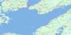
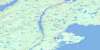
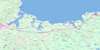
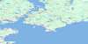
Cape George Surrounding Area Topo Maps
 |
 |
 |
 |
 |
 |
 |
 |
 |
 |
 |
|
 |
 |
© Department of Natural Resources Canada. All rights reserved.
Cape George Gazetteer
The following places can be found on topographic map sheet 011F13 Cape George:
Cape George Topo Map: Bays
Angus MacDonalds CoveBallantynes Cove
Bans Cove
Baxters Cove
Big Rorys Cove
French Cove
George Bay
Georges Bay
Golfe du Saint-Laurent
Gulf of St. Lawrence
Little Judique Harbour
Livingstone Cove
Pigs Cove
Port Hood
St. Georges Bay
Walker Cove
Cape George Topo Map: Beaches
Cribbons BeachMacDonalds Beach
Parks Beach
Cape George Topo Map: Capes
Big Rorys PointCampbell Point
Cape George
Cape George Point
Cape Susan
Crebbing Head
Cribbean Head
Cribbens Point
Cribbons Point
Domhnull Ruadhs Head
Eachren Point
Emersion Point
Emerson Point
Fishery Point
Graham Point
Greens Point
Henry Point
Justaucorps Point
Kate Point
Katies Point
Livingstone Point
MacEachern Point
Mackay Point
MacNeil Point
McKays Point
North Point
Parks Point
Portsmouth Point
Ragged Point
Seonaids Point
Shipping Point
Spithead
Cape George Topo Map: Channels
Détroit de NorthumberlandNorthumberland Strait
Cape George Topo Map: Geographical areas
AntigonishSydney
Cape George Topo Map: Islands
Cape Breton IslandHenry Island
Île du Cap-Breton
Port Hood Island
Cape George Topo Map: Lakes
Allan Iains PondBig Loch
Catharine Pond
Gillis Pond
Little Lake
Livingstones Pond
McKays Pond
North Lake
South Lake
Cape George Topo Map: Mountains
Graham HillCape George Topo Map: Major municipal/district area - major agglomerations
AntigonishInverness
Cape George Topo Map: Rivers
Ballantynes BrookBrowns Brook
Campbells Brook
Cape George Brook
Captains Brook
Cove Brook
Cove Brook
Gillis Brook
Graham River
Heffernans Brook
Heffernan's Brook
Horseshoe Turn Brook
Little Judique Brook
Livingstone Brook
Loch Brook
MacDonald Brook
MacDonalds Brook
MacEachern Brook
MacGillivrays Brook
MacInnis Brook
McDonald Brook
McDonald Brook
McEachern Brook
McGillivray Brook
McGillivray's Brook
McInnis Brook
Morar Brook
North Lake Stream
Orton Brook
Pooles Brook
Pool's Brook
Rory Brook
School Brook
Skidmore Brook
Wallace Brook
Cape George Topo Map: Shoals
Dean ShoalHenry Island Bank
Judique Bank
Judique Shoals
Pomquet Banks
Cape George Topo Map: Unincorporated areas
Back SettlementBallantynes Cove
Cape George
Cape George Point
Dunmore
Harbourview
Lakevale
Little Judique Ponds
Livingstone Cove
Maryville
Morar
North Lakevale
Port Hood Mines
Rear Georgeville
West Lakevale
Cape George Topo Map: Low vegetation
Heffernans Marsh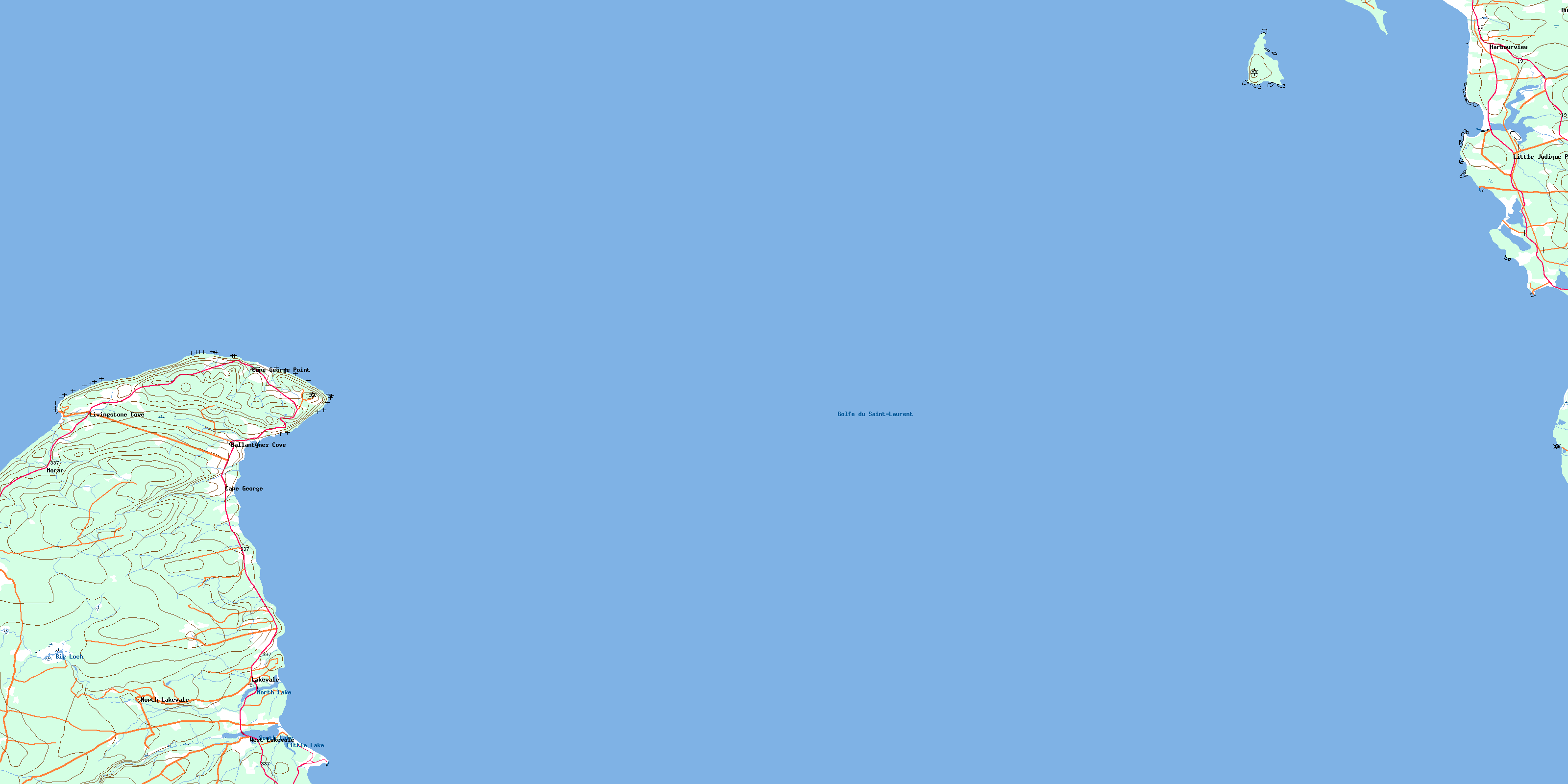
© Department of Natural Resources Canada. All rights reserved.
