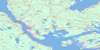
Cape Canso Topo Map Online
Download Free Topo Map Sheet 011F07 at 1:50,000 scale
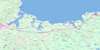
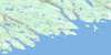
011F07 Cape Canso Topo Map
To view this map, mouse over the map preview on the right.
You can also download this topo map for free:
011F07 Cape Canso high-resolution topo map image.
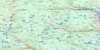
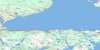
Maps for the Cape Canso topo map sheet 011F07 at 1:50,000 scale are also available in these versions:
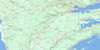
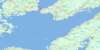
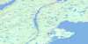
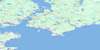
Cape Canso Surrounding Area Topo Maps
 |
 |
 |
 |
 |
 |
 |
 |
 |
 |
 |
|
 |
 |
© Department of Natural Resources Canada. All rights reserved.
Cape Canso Gazetteer
The following places can be found on topographic map sheet 011F07 Cape Canso:
Cape Canso Topo Map: Bays
Anse à MalletBlack Duck Cove
Canso Harbour
Chapel Gully
Chedabucto Bay
Deep Cove
Dover Bay
False Cove
Georges Harbour
Ghost Cove
Glasgow Harbour
Herring Cove
Indian Cove
Joshuas Cove
Ketch Harbour
Mackerel Cove
Negrowac Cove
Penaul Cove
Petit-de-Grat Harbour
Petit-de-Grat Inlet
Petite Anse
Portage Cove
Seal Cove
Shag Cove
Sherewink Cove
Spinney Gully
Squid Cove
Three Islands Cove
Three Islets Cove
Walkers Bay
Cape Canso Topo Map: Beaches
Barre au ChatBetsys Beach
Cape Breaker
Lanigan Beach
Long Breaker
Maneys Breaker
Sallys Wash
Shag Rock Breaker
Cape Canso Topo Map: Capes
Arrow PointBarachois Point
Barse Point
Betsys Point
Birch Point
Burns Point
Cap Rouge
Cape Canso
Coles Point
Fort Point
Gannet Point
Glasgow Head
Guet Point
Heath Head
Hydrant Point
Jersey Point
Joshuas Point
Ketch Harbour Head
Lock Point
Long Point
Mackerel Point
Madeline Point
Pointe à Siméon
Red Head
Walker Head
Walkers Head
Whistler Point
White Head
White Point
Cape Canso Topo Map: Channels
Andrew PassageFalse Passage
Little Dover Run
Tickle Channel
Cape Canso Topo Map: Geographical areas
GuysboroughRichmond
Cape Canso Topo Map: Islands
Andrew IslandBear Island
Big Cranberry Island
Big Gooseberry Island
Birch Island
Black Island
Bull Head
Charity Island
Charlotte Island
Clarke Island
Cranberry Islands
Crow Island
Davis Island
Derabies Island
Derabies Islands
Durell Island
Durells Island
Eastern Black Island
George Island
Grassy Island
Grave Island
Green Island
Gull Egg Island
Gull Island
Gully Island
Hart Island
Hog Island
Isle Madame
Little Cranberry Island
Little Dover (White) Island
Little Gooseberry Island
Mouse Island
Neale Island
Oliver Island
Pea Island
Petit Pas
Petit-de-Grat Island
Pettipas Island
Pigeon Island
Piscatiqui Island
Sherewink Island
Snows Island
Spider Island
Spinney Gully Island
The Goose
Thrumcap Island
Walsh Island
Welsh Island
White Island
Cape Canso Topo Map: Lakes
Big PondForest Lake
Great Barachois
Mahons Lake
Mound Lake
Negrowac Lake
Petit Lac Rond
Publicover Lake
Warrens Lake
Cape Canso Topo Map: Major municipal/district area - major agglomerations
GuysboroughRichmond
Cape Canso Topo Map: Conservation areas
Canso Islands National Historic Site of CanadaGrassy Island Fort National Historic Site of Canada
Lieu historique national du Canada des Îles-Canso
Lieu historique national du Canada du Fort-de-l'Île-Grassy
Cape Canso Topo Map: Rivers
Winter CreekCape Canso Topo Map: Sea features
The TittleCape Canso Topo Map: Shoals
Bald ReefBald Rock
Barrys Rock
Barse Rock
Bass Rock
Beacon Ledges
Berrigans Ledges
Big Arrow Rock
Big Fish Shoal
Big Ledge
Black Rock
Black Rocks
Boom Rock
Bootes Bank
Britons Shoal
Broad Shoal
Budget Rock
Calf Rock
Canso Ledges
Cape Rock
Carousse Bank
Castle Rock
Charity Island Ledges
Cow Rock
Crab Shoal
Crow Island Ledges
Crow Reef
David Rock
Derabies Bar
Doreys Rock
East Rock
Eastern Patch Rock
False Passage Ledge
Fanning Rock
Fiddle Shoal
Five Fathom Shoal
Flahertys Shoal
Flat Ledge
Frying Pan Shoal
Gannet Ledges
Gannet Rock
Gannet Shoal
Grassy Reef
Grime Rock
Gull Island Ledges
Gunning Rocks
Harbour Shoal
Harbour Shoal
Hauling Rock
Haulover Ledge
Ingraham Shoal
Inner Bass Reef
Joe Bonds Shoal
Keeper Reef
Kelp Rocks
Kennedys Rock
Kirby Rock
La Baleine
Long Point Ledges
Mackerel Rock
Man of War
Middle Rock
Middle Rock
Net Rocks
Nickerson Rock
North Rock
North Rock Shoal
Old Man Rock
Orpheus Rock
Park Ledge
Pas Reef
Patch Rock
Patch Rock
Pettipas Bar
Pink Rock
Roaring Bull
Roche de Platte
Sand Shoal
Scott Rock
Seal Ledge
Seal Ledge
Seal Ledges
Shag Ledge
South Shoal
Southeaster Ledges
Southern Shoal
Stanley Shoal
Stanley Shoals
Starling Rock
The Madeline
The Rampers
The Reef
The Washball
Three Fathom Shoal
Tinker Shoal
Twin Ledges
Washball
White Point Ledges
White Rock
Whitman Rock
Cape Canso Topo Map: Towns
CansoCape Canso Topo Map: Unincorporated areas
Little AnseSampson Cove
Sampsons Cove
Cape Canso Topo Map: Low vegetation
Turf Bog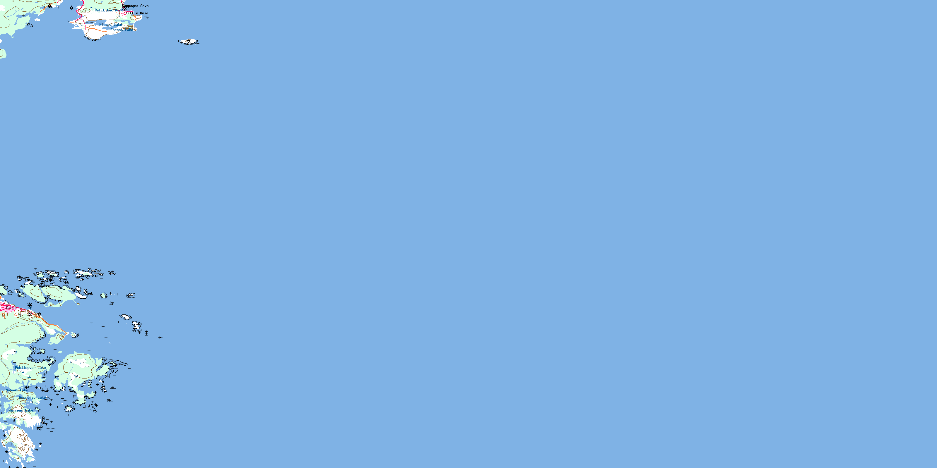
© Department of Natural Resources Canada. All rights reserved.
