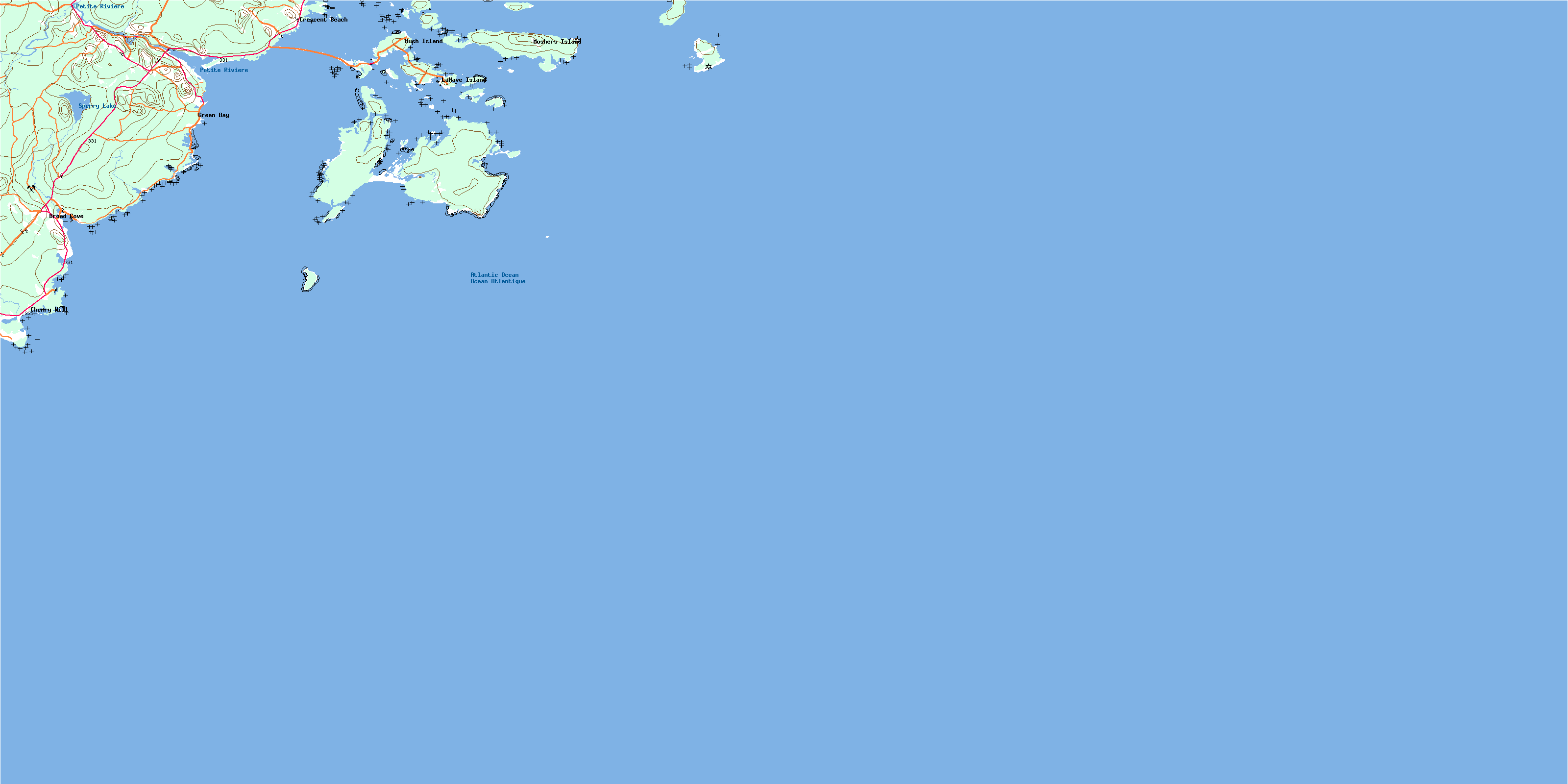
Lahave Islands Topo Map Online
Download Free Topo Map Sheet 021A01 at 1:50,000 scale
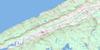
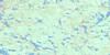
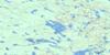
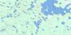
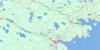
021A01 Lahave Islands Topo Map
To view this map, mouse over the map preview on the right.
You can also download this topo map for free:
021A01 Lahave Islands high-resolution topo map image.
Maps for the Lahave Islands topo map sheet 021A01 at 1:50,000 scale are also available in these versions:
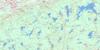
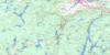
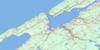
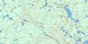
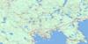
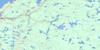
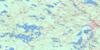
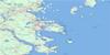
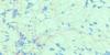
Lahave Islands Surrounding Area Topo Maps
 |
 |
 |
 |
 |
 |
 |
 |
 |
 |
 |
 |
 |
 |
 |
 |
© Department of Natural Resources Canada. All rights reserved.
Lahave Islands Gazetteer
The following places can be found on topographic map sheet 021A01 Lahave Islands:
Lahave Islands Topo Map: Bays
Apple CoveArties Cove
Back Cove
Back Cove
Back Harbour
Bantam Bay
Beartrap Cove
Broad Cove
Bull Cove
Butter Cove
Cape Bay
Cherry Cove
Crow Hole
Currie Cove
Deep Cove
Dublin Bay
Foggy Islands Cove
Front Cove
Green Bay
Halibut Bay
Hartling Bay
Hell Bay
Hirtles Bay
Little Harbour
McLeod Harbour
Mosher Harbour
Moshers Bay
Moshers Harbour
Sand Cove
Sandy Cove
Sloop Cove
The Creek
Upper Butter Cove
Western Cove
Yankee Cove
Lahave Islands Topo Map: Beaches
Bay BeachCape Bay Beach
Crescent Beach
Ironbound Breaker
Little Rissers Beach
Rissers Beach
Sperrys Beach
Lahave Islands Topo Map: Capes
Brown PointCape La Have
Cape Lahave
Cape LaHave
Gaff Point
Green Point
Green Point
Halibut Head
Jenkins Point
Johnson Point
Long Point
McNeil Point
Moshers Head
North Head
Northern Head
Pollock Point
Rissers Point
Rocky Head
Seal Point
Sharp Head
The Point
Turner Point
Western Head
Western Point
Lahave Islands Topo Map: Channels
Bakers GutBell Channel
Crooked Channel
False La Have
False Lahave
False LaHave
Folly Channel
Little Channel
Ships Channel
The Squam
Wolfe Gut
Lahave Islands Topo Map: Geographical areas
LunenburgLahave Islands Topo Map: Islands
Bear IslandBell Island
Bush Island
Cabbage Island
Camp Islands
Cape La Have Island
Cape LaHave Island
Covey Island
Coveys Island
East Spectacle Island
Foggy Islands
Fox Island
George Island
Hirtle Island
Indian Island
Jenkins Island
La Have Islands
LaHave Island
LaHave Islands
Lahave Islands
Madners Island
Middle Island
Mink Island
Mosher Island
Moshers Island
Outer Hirtle Island
Outer Island
Overalls Island
Rabbit Island
Round Island
Spectacle Islands
The Knob
Thrum Cap
Thrum Caps
Tumblin Island
West Ironbound Island
West Spectacle Island
Wolfe Island
Lahave Islands Topo Map: Lakes
Apple Tree PondArties Pond
Bickles Pond
Crab Pond
Fence Pond
Frog Pond
Green Point Pond
Hebbs Pond
Long Point Ponds
Purgatory Ponds
Roomsailor Pond
Sperry Lake
Stage Ponds
Whynachts Pond
Lahave Islands Topo Map: Mountains
Beech HillDrews Hill
Oak Hill
Romkey Hills
Spikes Hill
Lahave Islands Topo Map: Conservation areas
Rissers Beach Provincial ParkLahave Islands Topo Map: Rivers
Broad Cove BrookBrown Branch
Brown Branch Brook
Fence Pond Brook
Halfway Brook
Mad Brook
Petite Rivière
Romkey Brook
Smelt Brook
Wamback Mill Brook
Lahave Islands Topo Map: Shoals
Bantam ShoalBlack Rock
Calf Rock
Cape Rock
Duck Shoal
Eastern Reef
February Rock
French Rock
Goose Rock
Green Ledge
Green Point Rock
Halfway Rock
Ironbound Bank
Mad Rock
Mosher Ledge
Moshers Ledge
Pollock Shoal
Shag Rock
The Point Rocks
Lahave Islands Topo Map: Unincorporated areas
Broad CoveBush Island
Cherry Hill
Crescent Beach
Green Bay
La Have Island
LaHave Island
Lahave Island
Mosher Island
Moshers Island
Petite Rivière
Petite Rivière Bridge
© Department of Natural Resources Canada. All rights reserved.
021A Related Maps:
021A Annapolis Royal021A01 Lahave Islands
021A02 Liverpool
021A03 Lake Rossignol
021A04 Wentworth Lake
021A05 Weymouth
021A06 Kejimkujik Lake
021A07 Bridgewater
021A08 Lunenburg
021A09 Chester
021A10 New Germany
021A11 Milford
021A12 Digby
021A13 Granville Ferry
021A14 Bridgetown
021A15 Gaspereau Lake
021A16 Windsor
