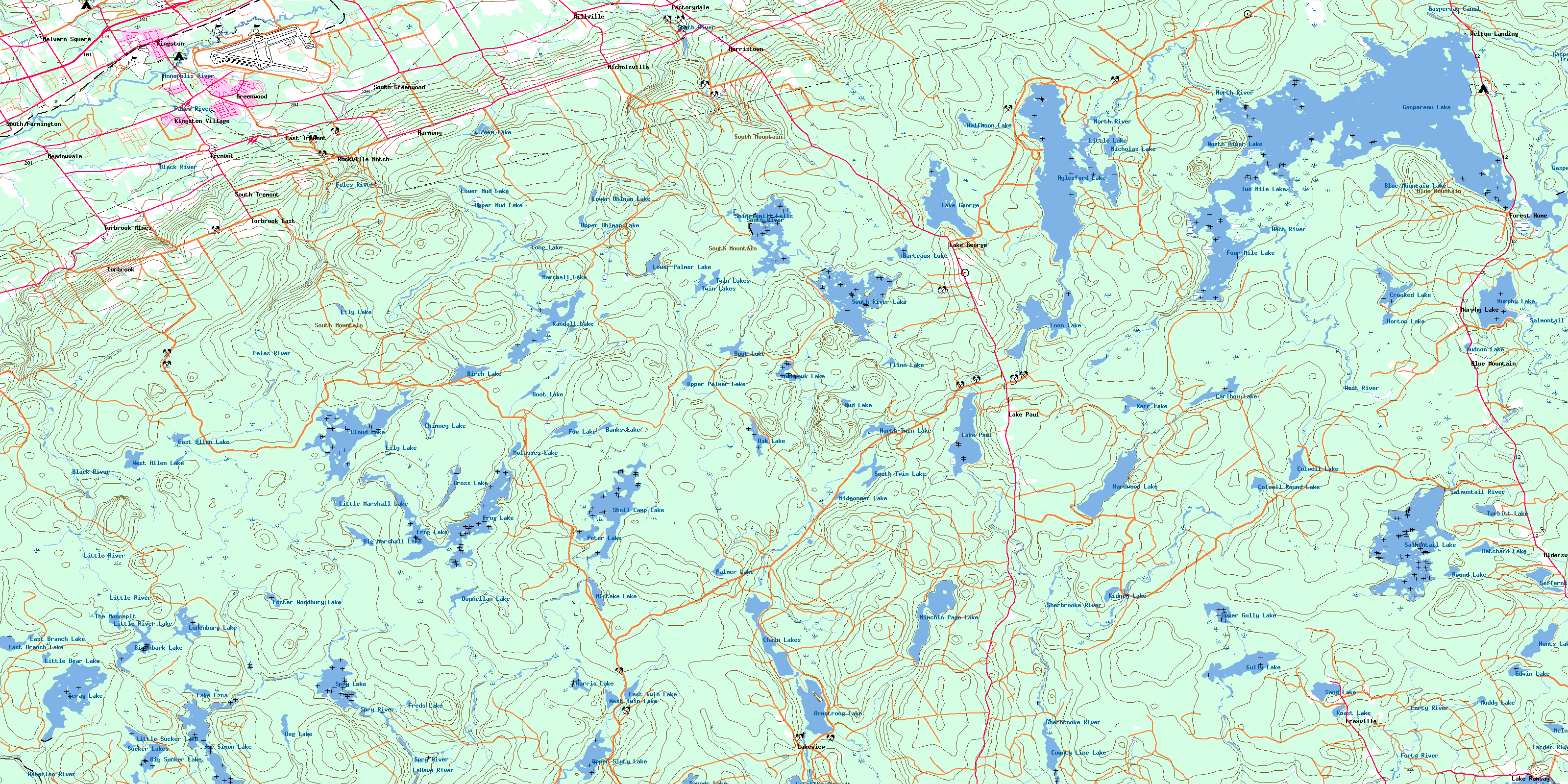
Gaspereau Lake Topo Map Online
Download Free Topo Map Sheet 021A15 at 1:50,000 scale
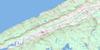
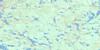
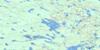
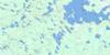
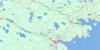
021A15 Gaspereau Lake Topo Map
To view this map, mouse over the map preview on the right.
You can also download this topo map for free:
021A15 Gaspereau Lake high-resolution topo map image.
Maps for the Gaspereau Lake topo map sheet 021A15 at 1:50,000 scale are also available in these versions:
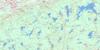
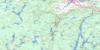
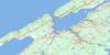
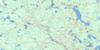
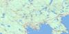
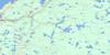
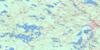
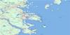
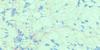
Gaspereau Lake Surrounding Area Topo Maps
 |
 |
 |
 |
 |
 |
 |
 |
 |
 |
 |
 |
 |
 |
 |
 |
© Department of Natural Resources Canada. All rights reserved.
Gaspereau Lake Gazetteer
The following places can be found on topographic map sheet 021A15 Gaspereau Lake:
Gaspereau Lake Topo Map: Bays
Banks CoveDevils Hole
Fancy Cove
Foley Cove
Lockharts Cove
Lower North Bay
Mosquito Hole
Northeast Arm
Northwest Arm
Simpsons Cove
Upper North Bay
West Arm La Have Lake
West Arm Lahave Lake
Wildcat Cove
Gaspereau Lake Topo Map: Capes
Lanes PointThe Peninsula
Gaspereau Lake Topo Map: Channels
Four Mile Lake ChannelLoon Lake Channel
Spruce Narrows
The Carry
Two Mile Lake Channel
Gaspereau Lake Topo Map: Falls
Shinglemill FallsGaspereau Lake Topo Map: Geographical areas
AnnapolisKings
Lunenburg
Gaspereau Lake Topo Map: Islands
Air Force IslandBlack Island
Camp Island
Davison Island
Dodge Island
Green Island
Moose Island
Nabs Island
Paul Websters Island
Pineo Island
Shaws Island
Stovepipe Island
The Calves
The Old Bull
The Old Cow
Weaver Island
Gaspereau Lake Topo Map: Lakes
Archies HoleArmstrong Lake
Aylesford Lake
Banks Lake
Barteaux Lake
Big Marshall Lake
Big Sucker Lake
Birch Lake
Birchbark Lake
Blue Mountain Lake
Blue Mountain Pond
Bog Lake
Boot Lake
Boot Lake
Burnt Dam Flowage
Camp Four Lake
Campbell Lake
Caribou Lake
Chain Lakes
Chimney Lake
Cloud Lake
Colwell Lake
Colwell Round Lake
County Line Lake
Crooked Lake
Cross Lake
Crowell Lake
Dodge Hole
Donnellan Lake
East Allen Lake
East Branch Lake
East Twin Lake
Edwin Lake
Factorydale Pond
Flinn Lake
Foster Woodbury Lake
Four Mile Lake
Fourmile Lake
Fox Lake
Freds Lake
Frog Lake
Gaspereau Lake
Gull Lake
Gully Lake
Halfmoon Lake
Hamilton Lake
Hamilton Lake
Hardwood Lake
Harris Lake
Hatchard Lake
Hatcher Lake
Horton Lake
Hudson Lake
Hunt Lake
Hunts Lake
Joe Simon Lake
Johnson Pond
Joudreys Mill Pond
Kerr Lake
Kidney Lake
La Have Lake
Lahave Lake
Lake Ezra
Lake George
Lake Paul
Lake Ramsay
Lake Torment
Lily Lake
Lily Lake
Little Bear Lake
Little Lake
Little Marshall Lake
Little River Lake
Little Sucker Lake
Long Lake
Loon Lake
Lower Mud Lake
Lower Palmer Lake
Lower Round Pond
Lower Uhlman Lake
Lunenburg Lake
Mack Lake
Marsh Lake
Marshall Lake
McInnis Lake
Midconner Lake
Mistake Lake
Molasses Lake
Mud Lake
Muddy Lake
Murphy Lake
Nicholas Lake
Nimchin Page Lake
North River Lake
North Twin Lake
Oak Lake
Owen Lake
Palmer Lake
Palmer Lake
Parker Lake
Peter Lake
Randall Lake
Roast Lake
Round Lake
Salmontail Lake
Sand Lake
Scrag Lake
Seffern Lake
Sefferns Lake
Shell Camp Lake
Sherbrooke Lake
Simon Lake
South River Lake
South Twin Lake
Spry Lake
Sucker Flowage
Sucker Lakes
Tanner Lake
Tener Lake
The Moosepit
Tomahawk Lake
Trout River Pond
Turbitt Lake
Turbot Lake
Twin Lakes
Two Mile Lake
Twomile Lake
Upper Gully Lake
Upper Mud Lake
Upper Palmer Lake
Upper Round Pond
Upper Sixty Lake
Upper Uhlman Lake
West Allen Lake
West Twin Lake
Wilson Pond
Zeke Lake
Gaspereau Lake Topo Map: Military areas
Base des Forces canadiennes GreenwoodCanadian Forces Base Greenwood
Clements Park
Gaspereau Lake Topo Map: Mountains
Blue MountainBoars Back
Lockharts Hill
Peter Moores Hill
South Mountain
Wilson Hill
Gaspereau Lake Topo Map: Major municipal/district area - major agglomerations
AnnapolisChester
Kings
Gaspereau Lake Topo Map: Conservation areas
Lake George Provincial ParkGaspereau Lake Topo Map: Rapids
Black RattleGaspereau Lake Topo Map: Rivers
Annapolis RiverArenburgs Meadows Brook
Bear Brook
Beaver Brook
Berry Brook
Birch Lake Stream
Birchbark Brook
Black Brook
Black Brook
Black River
Bog Brook
Camp Four Lake Brook
Cloud Brook
Cloud Lake Brook
Colwell Brook
Crooked Lake Brook
Crossburn Brook
DeWolfe Brook
Donnellan Brook
East La Have River
East Lahave River
Ell Lake Brook
Fales River
Forties River
Forty River
Gaspereau Canal
Gaspereau River
Gould Brook
Gracie Brook
Gully Brook
Gully River
Hamilton Brook
Hamilton Brook
Hunts Lake Brook
Hutchinson Brook
Joe Simon Stream
Jones Brook
Kelley Brook
La Have River
La Have River
LaHave River
Lahave River
Lake George Brook
Lake Paul Brook
Lanes Brook
Larder River
Little Brook
Little River
Lucifee Brook
McClintock Brook
McGarvies Run
Meadow Brook
Mill Brook
Muddy Lake Brook
Mumford Brook
Mumford Brook
Newcombe Brook
Nimchin Brook
North Gaspereau River
North River
Oak Lake Brook
Ozie Meadow Brook
Palmer Lakes Stream
Patterson Meadow Brook
Rocky Run
Round Pond Brook
Salmontail River
Salmontail River
Sand Brook
Sanford Brook
Sarty Brook
Sarty Brook
Scrag Brook
Sharpe Brook
Shell Camp Stream
Sherbrooke River
South Annapolis River
South Branch
South River
Spinney Brook
Spry River
Sucker Brook
Tomahawk Stream
Torbrook River
Trout River
Twin Brooks
Uhlman Stream
Walker Brook
Waterloo River
Wentzell Brook
West Lahave River
West River
Wiswal Brook
Zeke Brook
Gaspereau Lake Topo Map: River features
Bear Trap PoolBirch Lake Stillwater
Donnellan Stillwaters
Fales River Pool
Government Stillwater
Keddy Stillwater
Manthorne Stillwaters
Peter Moores Stillwaters
Peters Stillwater
Peter's Stillwater
The Horseshoe
The Horseshoe
The Juicer Stillwater
Trout Hole
Upper Fishing Pool
Walker Brook Pool
Wiswal Pool
Gaspereau Lake Topo Map: Shoals
Fishermans RockGaspereau Lake Topo Map: Unincorporated areas
Aalders LandingAldersville
Blue Mountain
Dalhousie Road
East Tremont
Factorydale
Forest Home
Fraxville
Harmony
Kingston Village
Lake George
Lake Paul
Lake Ramsay
Lakeview
Meadowvale
Melvern Square
Millville
Morristown
Murphy Lake
New Ross Road
Nicholsville
Rockville Notch
South Alton
South Farmington
South Greenwood
South Tremont
Torbrook
Torbrook East
Torbrook Mines
Tremont
Welton
Welton Landing
Gaspereau Lake Topo Map: Valleys
Annapolis ValleyRockville Notch
Gaspereau Lake Topo Map: Low vegetation
Arenburgs MeadowsBarkhouse Meadow
Big Bog
Blue Joint Meadow
Bog Meadows
Colwell Meadows
Doyle Meadows
Doyles Meadows
Driscolls Meadows
Foster Woodbury Meadow
Hamilton Meadows
Hanleys Meadow
Horseshoe Meadows
Lanes Meadows
Lindsay Hiltz Marsh
Little North Bog
Mosher Meadow
Moshers Meadows
Ozie Meadows
Parker Meadows
Samuel Parker Bog
Schaffer Meadows
West River Meadows
Wheaton Bog
Wilson Meadow
Zwicker Meadows
Gaspereau Lake Topo Map: Villages
GreenwoodKingston
© Department of Natural Resources Canada. All rights reserved.
021A Related Maps:
021A Annapolis Royal021A01 Lahave Islands
021A02 Liverpool
021A03 Lake Rossignol
021A04 Wentworth Lake
021A05 Weymouth
021A06 Kejimkujik Lake
021A07 Bridgewater
021A08 Lunenburg
021A09 Chester
021A10 New Germany
021A11 Milford
021A12 Digby
021A13 Granville Ferry
021A14 Bridgetown
021A15 Gaspereau Lake
021A16 Windsor
