Tetagouche Lakes Topo Map Online
Download Free Topo Map Sheet 021O09 at 1:50,000 scale
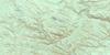
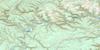
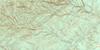
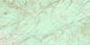
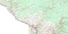
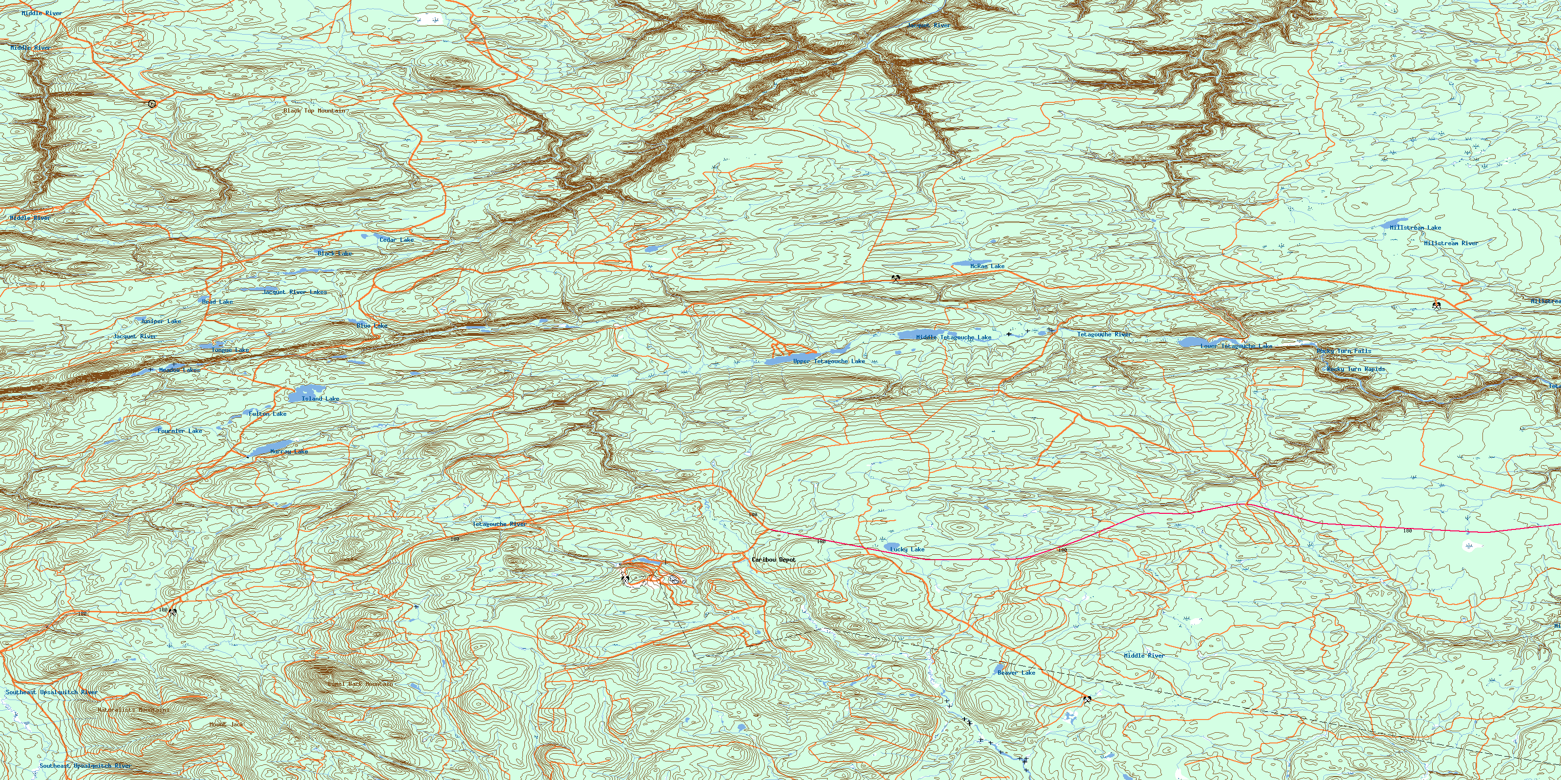
021O09 Tetagouche Lakes Topo Map
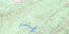
To view this map, mouse over the map preview on the right.
You can also download this topo map for free:
021O09 Tetagouche Lakes high-resolution topo map image.
Maps for the Tetagouche Lakes topo map sheet 021O09 at 1:50,000 scale are also available in these versions:
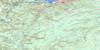
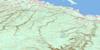
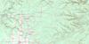
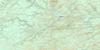
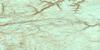
Tetagouche Lakes Surrounding Area Topo Maps
 |
 |
 |
 |
 |
 |
 |
 |
 |
 |
 |
 |
 |
 |
 |
 |
© Department of Natural Resources Canada. All rights reserved.
Tetagouche Lakes Gazetteer
The following places can be found on topographic map sheet 021O09 Tetagouche Lakes:
Tetagouche Lakes Topo Map: Falls
Rocky Turn FallsTetagouche Lakes Topo Map: Geographical areas
BalmoralBathurst
Beresford
Colborne
Durham
Gloucester
Northumberland
Restigouche
Tetagouche Lakes Topo Map: Indian Reserves
Moose Meadows 4Tetagouche Lakes Topo Map: Lakes
Beaver LakeBlack Lake
Blue Lake
Cedar Lake
Fournier Lake
Fulton Lake
Head Lake
Hogan Pond
Island Lake
Jacquet River Lakes
Juniper Lake
Lower Goose Pond
Lower Tetagouche Lake
Lucky Lake
McRae Lake
Meadow Lakes
Middle Tetagouche Lake
Millstream Lake
Murray Lake
Tongue Lake
Upper Goose Pond
Upper Tetagouche Lake
Tetagouche Lakes Topo Map: Mountains
Black Top MountainCamel Back Mountain
Jacquet River Hill
McGregor Hill
Mount Jack
Naturalists Mountains
Tetagouche Lakes Topo Map: Rapids
Rocky Turn RapidsTetagouche Lakes Topo Map: Rivers
Arleau BrookArmstrong Brook
Boudreau Brook
Campbell Brook
Campbell Brook
Caribou Brook
Caribou Brook
Cormier Brook
East Branch Forty Four Mile Brook
Eighteen Mile Brook
Eighteenmile Brook
Forty Four Mile Brook
Forty Mile Brook
Fortymile Brook
Four Mile Brook
Fournier Brook
Fraser Brook
Gambol Brook
Jacquet River
Johnson Brook
Johnson Brook
Levesque Brook
Little Southeast Upsalquitch River
Lower McNair Brook
Lower South Branch Jacquet River
Lower South Jacquet River
Lucky Lake Brook
McNair Brook
Meadow Brook
Melanson Brook
Middle Brook
Middle River
Millstream River
Murray Brook
Murray Lake Brook
Nine Mile Brook
Ninemile Brook
North Branch Meadow Brook
North Branch Middle River
North Branch Tetagouche River
North Meadow Brook
North Middle River
North Tetagouche River
Orvan Brook
Paynes Brook
Peters Brook
Rocky Brook
Rocky Brook
Shellalah Hill Brook
South Branch Forty Mile Brook
South Branch Middle River
South Branch Nigadoo River
South Branch Tetagouche River
South Fortymile Brook
South Jacquet River
South Middle River
South Nigadoo River
South Tetagouche River
Southeast Jacquet River
Southeast Upsalquitch River
Taylor Brook
Tetagouche River
Two Pitch Hill Brook
Upper McNair Brook
Upper South Branch Jacquet River
Upper South Jacquet River
West Branch Forty Four Mile Brook
West Branch Tetagouche River
West Tetagouche River
West Tetagouche River
White Birch Brook
Wild Cat Brook
Wildcat Brook
Woodside Brook
Tetagouche Lakes Topo Map: River features
Harrys BoganRocky Turn Pool
Tetagouche Lakes Topo Map: Unincorporated areas
Big MooseCaribou Depot
Keepover
The Sheds
Tetagouche Lakes Topo Map: Valleys
Archibald GulchCarl Gulch
Cook Gulch
Cook Savoie Gulch
Culligan Gulch
McNair Gulch
Moosehorn Gulch
Paul Phillip Gulch
Personne Gulch
Peter Frank Gulch
Rocky Gulch
Rocky Turn Gorge
Salter Gulch
Snowslide Gulch
Tremblay Gulch
Tetagouche Lakes Topo Map: Low vegetation
Rocky Brook PlainsTaylor Meadow
© Department of Natural Resources Canada. All rights reserved.
021O Related Maps:
021O Campbellton021O01 Big Bald Mountain
021O02 Serpentine Lake
021O03 Riley Brook
021O04 Grand Falls
021O05 Grand River
021O06 Sisson Branch Reservoir
021O07 Nepisiguit Lakes
021O08 California Lake
021O09 Tetagouche Lakes
021O10 Upsalquitch Forks
021O11 Kedgwick
021O12 Gounamitz River
021O13 States Brook
021O14 Menneval
021O15 Atholville
021O16 Charlo
