Kedgwick Topo Map Online
Download Free Topo Map Sheet 021O11 at 1:50,000 scale
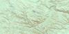
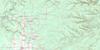
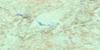
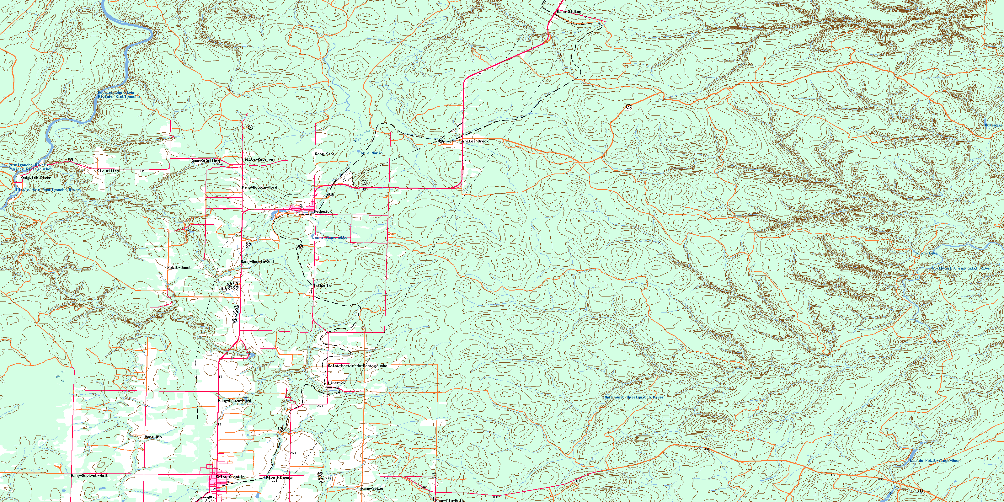
021O11 Kedgwick Topo Map
To view this map, mouse over the map preview on the right.
You can also download this topo map for free:
021O11 Kedgwick high-resolution topo map image.
Maps for the Kedgwick topo map sheet 021O11 at 1:50,000 scale are also available in these versions:
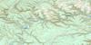
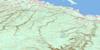
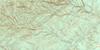
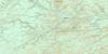
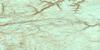
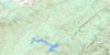
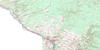
Kedgwick Surrounding Area Topo Maps
 |
 |
 |
 |
 |
 |
 |
 |
 |
 |
 |
 |
 |
 |
 |
 |
© Department of Natural Resources Canada. All rights reserved.
Kedgwick Gazetteer
The following places can be found on topographic map sheet 021O11 Kedgwick:
Kedgwick Topo Map: Capes
Little Cross PointKedgwick Topo Map: Geographical areas
DrummondEldon
Grimmer
Restigouche
Kedgwick Topo Map: Islands
Half Mile IslandLittle Cross Islands
Little Cross Point Islands
Kedgwick Topo Map: Lakes
Étangs MorinLac à Blanchette
Lac à Morin
Lac du Petit-Vingt-Deux
McKenzie Lake
Morin Pond
Poison Lake
Kedgwick Topo Map: Mountains
Brodericks HillKedgwick Topo Map: Rivers
Bear BrookBernier Brook
Black Brook
Boland Brook
Burntland Brook
Chisholm Brook
Coulée à Siméon
Cross Point Brook
Dead Brook
Deadwater Brook
Five Finger Brook
Five Fingers Brook
Four Mile Brook
Fourmile Brook
Haffords Brook
Haffords Brook
Hailes Brook
Hashey Brook
Indian Brook
Kedgwick River
Little Five Finger Brook
Little Five Fingers Brook
Little Main Restigouche River
McLeod Brook
Northwest Upsalquitch River
Oxford Brook
Pat Brook
Range Brook
Restigouche River
Restigouche River
Ritchie Brook
Rivière Ristigouche
Robinson Brook
Ruisseau Donat-Albert
Ruisseau Rang-Cinq-et-Six
Ruisseau Sauvage
Soldiers Brook
Stillwater Brook
Thirty Mile Brook
Thirtymile Brook
Twelve Mile Brook
Twenty Eight Mile Brook
Twenty Five Mile Brook
Twenty Seven Mile Brook
Twenty-Eight Mile Brook
Twenty-Five Mile Brook
Twenty-Seven Mile Brook
White Brook
Whites Brook
Kedgwick Topo Map: Towns
Saint-QuentinKedgwick Topo Map: Unincorporated areas
DrucourFive Fingers
Grimmer Settlement
Guercheville
Hazen Settlement
Kedgwick Ouest
Kedgwick River
Kedgwick-Ouest
Lauzier
Leclerc
Limerick
Mann Siding
Nickel Mill
Oliver
Petite-Réserve
Petit-Ouest
Quatre-Milles
Rang Six Milles
Rang-Dix
Rang-Dix-Huit
Rang-Double-Nord
Rang-Double-Sud
Rang-Douze
Rang-Douze-Nord
Rang-Seize
Rang-Sept
Rang-Sept-et-Huit
Robinson
Robinson Tank
Saint-Martin-de-Restigouche
Sancta Anna
Six-Milles
St. Martin de Restigouche
Stewart Settlement
St-Martin-de-Restigouche
Thibault
Val Riopel
Val-Riopel
White Brook
Whites Brook
Kedgwick Topo Map: Valleys
Downs GulchGillis Gulch
Halls Gulch
Larry Gulch
Larrys Gulch
Lower Downs Gulch
McKenzie Gulch
Murray Gulch
Simpsons Gulch
Upper Downs Gulch
Kedgwick Topo Map: Villages
KedgwickSt. Quentin
St-Quentin
© Department of Natural Resources Canada. All rights reserved.
021O Related Maps:
021O Campbellton021O01 Big Bald Mountain
021O02 Serpentine Lake
021O03 Riley Brook
021O04 Grand Falls
021O05 Grand River
021O06 Sisson Branch Reservoir
021O07 Nepisiguit Lakes
021O08 California Lake
021O09 Tetagouche Lakes
021O10 Upsalquitch Forks
021O11 Kedgwick
021O12 Gounamitz River
021O13 States Brook
021O14 Menneval
021O15 Atholville
021O16 Charlo
