Fenelon Falls Topo Map Online
Download Free Topo Map Sheet 031D10 at 1:50,000 scale
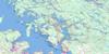
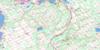
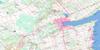
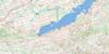
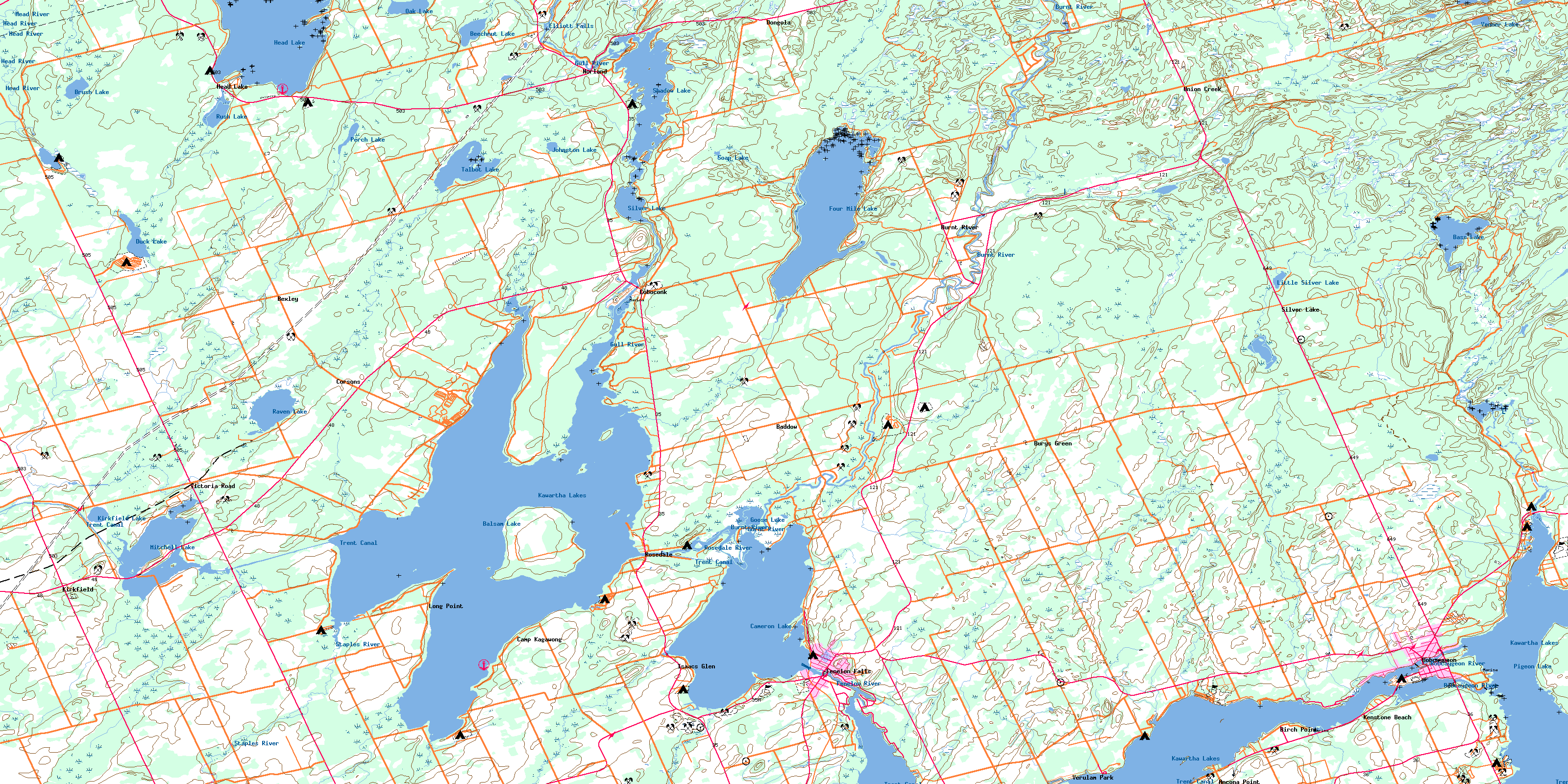
031D10 Fenelon Falls Topo Map
To view this map, mouse over the map preview on the right.
You can also download this topo map for free:
031D10 Fenelon Falls high-resolution topo map image.
Maps for the Fenelon Falls topo map sheet 031D10 at 1:50,000 scale are also available in these versions:
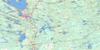
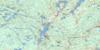
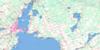
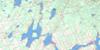
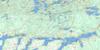
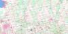
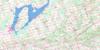
Fenelon Falls Surrounding Area Topo Maps
 |
 |
 |
 |
 |
 |
 |
 |
 |
 |
 |
 |
 |
 |
 |
 |
© Department of Natural Resources Canada. All rights reserved.
Fenelon Falls Gazetteer
The following places can be found on topographic map sheet 031D10 Fenelon Falls:
Fenelon Falls Topo Map: Bays
Cranberry BayCrane Bay
Ellery Bay
Fells Bay
Green Bay
Hawkers Bay
Long Point Bay
McFarland Bay
Nogies Creek Bay
Nories Bay
North Bay
Sackett Bay
South Bay
Stumpy Bay
West Bay
Fenelon Falls Topo Map: Beaches
Potts ShoreFenelon Falls Topo Map: Capes
Ancona PointBirch Point
Birch Point
Birch Point
Black Point
Chimney Point
Cottage Point
Daniels Point
Deihl Point
Falls Point
Gregory Point
Hughes Point
Indian Point
Isaacs Point
Laidlaw Point
Lighthouse Point
Lightning Point
Long Point
Mackenzie Point
North River Point
Olivers Point
Potts Point
Rocky Point
South River Point
Stinsons Point
Fenelon Falls Topo Map: Channels
Big Bob ChannelLittle Bob Channel
Fenelon Falls Topo Map: City
Kawartha LakesFenelon Falls Topo Map: Falls
Elliott FallsFenelon Falls
Fenelon Falls Topo Map: Geographical areas
BexleyCarden
Digby
Eldon
Fenelon
Galway
Harvey
Laxton
Somerville
Verulam
Victoria
Fenelon Falls Topo Map: Indian Reserves
Islands in the Trent Waters Indian Reserve 36ARéserve indienne Islands in the Trent Waters 36A
Fenelon Falls Topo Map: Islands
Ant IslandArmstrong Island
Ball Island
Beacon Island
Big Island
Birch Island
Bottom Islands
Boyd Island
Boyd Island
Cherry Island
Dead Horse Island
Delamere Island
Delemere Island
Deweys Island
Grand Island
Greeny Island
Hogg Island
Isle of View
McConnell Island
Muskrat Island
Pennington's Island
Rathbun Island
Steamboat Island
Togo Island
Fenelon Falls Topo Map: Lakes
Balsam LakeBass Lake
Beech Lake
Beechnut Lake
Brush Lake
Cameron Lake
Crystal Lake
Duck Lake
Four MileLake
Goose Lake
Head Lake
Johnston Lake
Kawartha Lakes
Kirkfield Lake
Little Silver Lake
Mitchell Lake
Oak Lake
Perch Lake
Pigeon Lake
Raven Lake
Rush Lake
Shadow Lake
Silver Lake
Soap Lake
Sturgeon Lake
Talbot Lake
Venner Lake
Fenelon Falls Topo Map: Mountains
Galena HillMoore Hill
Fenelon Falls Topo Map: Major municipal/district area - major agglomerations
United Counties of Northumberland and DurhamVictoria
Fenelon Falls Topo Map: Other municipal/district area - miscellaneous
BexleyBobcaygeon/Verulam
Carden
Carden/Dalton
Dalton
Eldon
Emily
Fenelon
Galway and Cavendish
Galway-Cavendish and Harvey
Harvey
Laxton, Digby and Longford
Manvers
Mariposa
Ops
Somerville
Verulam
Fenelon Falls Topo Map: Conservation areas
Balsam Lake Provincial ParkIndian Point Provincial Park
Lieu historique national du Canada de la Voie-Navigable-Trent--Severn
Trent--Severn Waterway National Historic Site of Canada
Fenelon Falls Topo Map: Rivers
Bobcaygeon RiverBurnt River
Corben Creek
Fenelon River
Grass Creek
Gull River
Hawkers Creek
Head River
Lavery Creek
Loom Creek
Martin Creek
Martin Creek
Nogies Creek
Pearns Creek
Perch Creek
Perrin Creek
Rosedale River
Rutherford Creek
Staples River
Union Creek
Venner Creek
Fenelon Falls Topo Map: Shoals
Dead Horse ShoalGrand Rock
Hogg Rock
Long Point Shoal
Three Sisters Shoals
Togo Rock
Fenelon Falls Topo Map: Unincorporated areas
Ancona PointBaddow
Bexley
Birch Point
Bobcaygeon
Burnt River
Burys Green
Camp Kagawong
Coboconk
Corsons
Dongola
Fell
Fenelon Falls
Galena Hill
Head Lake
Isaacs Glen
Kenstone Beach
Kirkfield
Long Point
Norland
Raven Lake
Red Rock
Rosedale
Silver Lake
Union Creek
Verulam Park
Victoria Road
Watsons
© Department of Natural Resources Canada. All rights reserved.
