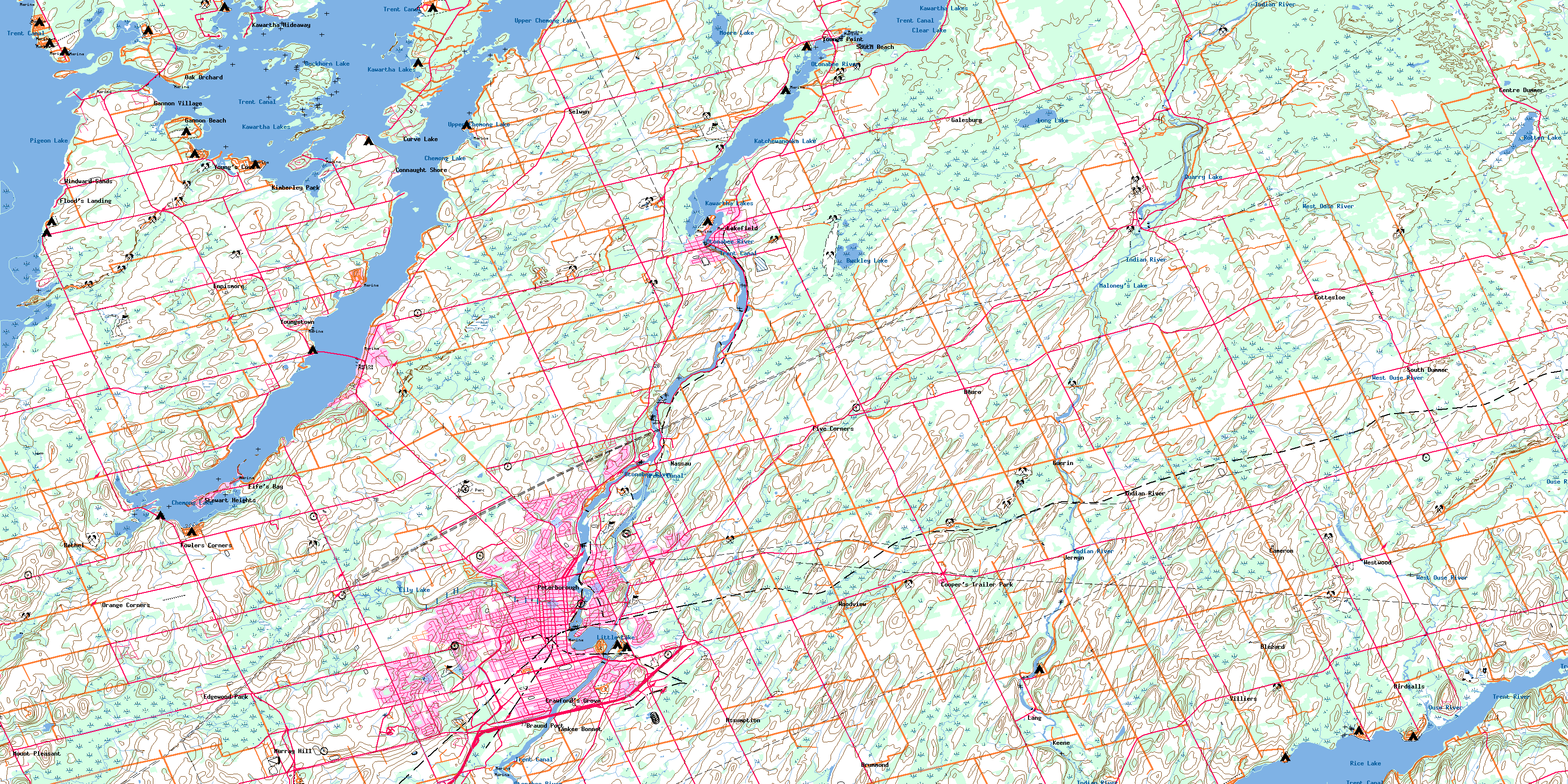
Peterborough Topo Map Online
Download Free Topo Map Sheet 031D08 at 1:50,000 scale
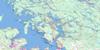
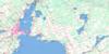
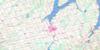
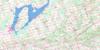
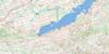
031D08 Peterborough Topo Map
To view this map, mouse over the map preview on the right.
You can also download this topo map for free:
031D08 Peterborough high-resolution topo map image.
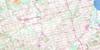
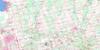
Maps for the Peterborough topo map sheet 031D08 at 1:50,000 scale are also available in these versions:
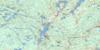
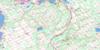
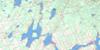
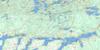
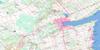
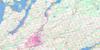
Peterborough Surrounding Area Topo Maps
 |
 |
 |
 |
 |
 |
 |
 |
 |
 |
 |
 |
 |
 |
 |
 |
© Department of Natural Resources Canada. All rights reserved.
Peterborough Gazetteer
The following places can be found on topographic map sheet 031D08 Peterborough:
Peterborough Topo Map: Bays
Donaghue BayFiddlers Bay
Fife Bay
Fife's Bay
Gannon Bay
Gifford Bay
Harrington Bay
Lancaster Bay
Morrow Bay
O'Rielly Bay
Sandy Creek Bay
Sandy Point Bay
Scollard Bay
Telford Bay
Tindle Bay
Webb Bay
Youngs Cove
Young's Cove
Peterborough Topo Map: Capes
Battery PointBirdsalls Point
Cadigan Point
Cameron Point
Coppaway Point
Davis Point
Gannon Point
Haig Point
Hickson Point
Lute Point
McGuire Point
Morrow Point
O'Rielly Point
Rollies Point
Sandy Point
Scollard Point
Spencer Point
Telephone Point
Peterborough Topo Map: Channels
Blind ChannelChemong Narrows
Chemung Narrows
Gannon Narrows
Harrington Narrows
Mill Race
Peterborough Topo Map: City
Kawartha LakesPeterborough
Peterborough Topo Map: Geographical areas
AlnwickAsphodel
Cavan
Douro
Dummer
Emily
Ennismore
Harvey
Monaghan
North Monaghan
Northumberland
Otonabee
Percy
Peterborough
Smith
South Monaghan
Verulam
Peterborough Topo Map: Indian Reserves
Curve Lake 35ACurve Lake First Nation 35
Curve Lake First Nation Indian Reserve 35
Curve Lake Indian Reserve 35
Curve Lake Indian Reserve 35A
Islands in the Trent Waters 36A
Islands in the Trent Waters Indian Reserve 36A
Réserve indienne Curve Lake 35
Réserve indienne Curve Lake 35A
Réserve indienne Curve Lake First Nation 35
Réserve indienne Islands in the Trent Waters 36A
Peterborough Topo Map: Islands
Big IslandBirch Island
Blewett Island
Boyd Island
Brushy Island
Burnt Island
Chief Island
Douglas Island
Emerald Isle
Farley Island
Flat Island
Flat Islands
Fothergill Island
Fox Island
Goose Island
Gordonstoun Island
Grape Island
Grenadier Island
Heron Island
Hills Island
Horseshoe Island
Jacob Island
Joe Island
Johnston Island
Kelly Island
Kishgo Island
Margaret Island
McKenty Island
Mink Island
Morrsey Island
Nichol Island
Paradise Island
Polly Cow Island
Polly Island
Prince Andrew Island
Red Rock Island
Reserve Island
Robinsons Island
Rottenstone Island
Scriver Island
Seaweed Island
Seaweed Islands
Second Island
Snake Island
Sugar Bush Island
Third Island
Thorne Island
Webster Island
White Island
Peterborough Topo Map: Lakes
Best's PondBuckhorn Lake
Buckley Lake
Chemong Lake
Chemung Lake
Clear Lake
Katchewanooka Lake
Katchiwano Lake
Kawartha Lakes
Lily Lake
Little Lake
Little Mud Lake
Long Lake
Maloney's Lake
Moore Lake
Pigeon Lake
Quarry Lake
Rice Lake
Rotten Lake
Upper Chemong Lake
Upper Chemung Lake
Peterborough Topo Map: Mountains
Armour HillEnglish Hill
Fife Hill
Frank Hill
Green Hill
Peterborough Topo Map: Major municipal/district area - major agglomerations
NorthumberlandPeterborough
Victoria
Peterborough Topo Map: Other municipal/district area - miscellaneous
AlnwickAlnwick/Haldimand
Asphodel
Asphodel-Norwood
Bexley
Bobcaygeon/Verulam
Carden
Carden/Dalton
Cavan
Cavan-Millbrook-North Monaghan
Dalton
Douro
Douro-Dummer
Douro-Dummer
Dummer
Eldon
Emily
Ennismore
Fenelon
Galway and Cavendish
Galway-Cavendish and Harvey
Haldimand
Harvey
Laxton, Digby and Longford
Manvers
Mariposa
North Monaghan
Ops
Otonabee
Otonabee-South Monaghan
Percy
Seymour
Smith
Smith-Ennismore
Smith-Ennismore-Lakefield
Somerville
South Monaghan
Verulam
Peterborough Topo Map: Conservation areas
Chemong Lake Conservation AreaLieu historique national du Canada de la Voie-Navigable-Trent--Severn
Lieu historique national du Canada de l'Écluse-Ascenseur-de-Peterborough
Mark S. Burnham Provincial Park
Peterborough Lift Lock National Historic Site of Canada
Trent--Severn Waterway National Historic Site of Canada
Warsaw Caves Conservation Area
Peterborough Topo Map: Rivers
Bear CreekBears Creek
Birdsalls Creek
Indian River
Jackson Creek
May's Creek
Mead Creek
Meade Creek
Miller Creek
Otonabee River
Ouse River
Potash Creek
Sawer Creek
Snelgrove Brook
Trent River
West Ouse River
Whitlaw Creek
Peterborough Topo Map: River features
Tilley's HolePeterborough Topo Map: Shoals
Curve ShoalEast Rice Bed
Lynch's Rock
Rush Shoals
Peterborough Topo Map: Towns
Campbellford/SeymourCampbellford/Seymour, Percy, Hastings
Trent Hills
Peterborough Topo Map: Unincorporated areas
AshburnhamAsphodel Station
Assumption
Auburn Mills
Bests Station
Bethel
Birdsalls
Blezard
Botulf Siding
Braund Port
Bridgenorth
Byersville
Cameron
Centre Dummer
Chemong Heights
Chemong Park
Chemung Park
Claraday
Coldsprings
Collison Heights
Connaught Shore
Cooper's Trailer Park
Cottesloe
Crawford's Grove
Curve Lake
Donwood
Douro
Downers Corners
Drummond
East Emily
Edgewood Park
Edmison Heights
Ennismore
Fairbairn Meadows
Fife's Bay
Five Corners
Flood's Landing
Fowlers Corners
Galesburg
Gannon Beach
Gannon Village
Greenhill
Guerin
Hill Settlement
Indian River
Jackson Heights
Jermyn
Kawartha Heights
Kawartha Hideaway
Keene Station
Kimberley Park
Lakefield
Lang
Mount Pleasant
Murray Hill
Nassau
Oak Orchard
Orange Corners
Otonabee Siding
Selwyn
South Beach
South Dummer
Stewart Heights
Terra View Heights
Village Meadows
Villiers
Warsaw
Westmount
Westwood
Windward Sands
Woodland Acres
Woodview
Yankee Bonnet
Young's Cove
Youngs Point
Youngstown
Peterborough Topo Map: Low vegetation
Cavan BogFultons Bog
© Department of Natural Resources Canada. All rights reserved.
