Rice Lake Topo Map Online
Download Free Topo Map Sheet 031D01 at 1:50,000 scale
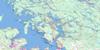
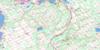
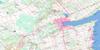
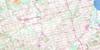
031D01 Rice Lake Topo Map
To view this map, mouse over the map preview on the right.
You can also download this topo map for free:
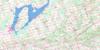
031D01 Rice Lake high-resolution topo map image.
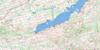
Maps for the Rice Lake topo map sheet 031D01 at 1:50,000 scale are also available in these versions:
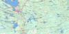
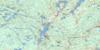
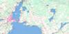
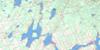
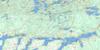
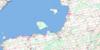
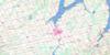
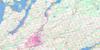
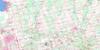
Rice Lake Surrounding Area Topo Maps
 |
 |
 |
 |
 |
 |
 |
 |
 |
 |
 |
 |
 |
 |
 |
 |
© Department of Natural Resources Canada. All rights reserved.
Rice Lake Gazetteer
The following places can be found on topographic map sheet 031D01 Rice Lake:
Rice Lake Topo Map: Bays
Burrison's BayMcGregor Bay
Rice Lake Topo Map: Capes
Curtis PointFoley Point
Hatrick Point
Herkimer Point
Idylwilde Point
Jubilee Point
Ley Point
Picnic Point
Pine Tree Point
Plum Point
Prickly Point
Rainy Point
Roach Point
Sager Point
Sand Point
Shearer Point
Wallace Point
Rice Lake Topo Map: Geographical areas
AlnwickCavan
Clarke
Haldimand
Hamilton
Hope
Monaghan
North Monaghan
Northumberland
Otonabee
Percy
Peterborough
South Monaghan
Rice Lake Topo Map: Indian Reserves
Alderville First NationAlderville Indian Reserve 37
Hiawatha First Nation 36
Hiawatha First Nation Indian Reserve 36
Hiawatha Indian Reserve 36
Réserve indienne Alderville 37
Réserve indienne Hiawatha 36
Réserve indienne Hiawatha First Nation 36
Réserve indienne Sugar Island 37A
Sugar Island Indian Reserve 37A
SugarIsland 37A
Rice Lake Topo Map: Islands
Black IslandClose Point
Cow Island
East Grape Island
Grasshopper Island
Harmony Island
Harris Island
Hickory Island
Long Island
Lower Foley Island
Margaret Island
Mink Islands
Muskrat Island
Paudaush Island
Prison Island
Rack Island
Sheep Island
Spook Island
Sugar Island
Tic Island
Tick Island
Upper Foley Island
West Grape Island
West Sugar Island
White Island
Rice Lake Topo Map: Lakes
Rice LakeRice Lake Topo Map: Mountains
Beech HillBell's Hill
Caldwell's Hill
Cruse's Hill
Dean Hill
Dean's Hill
Jamieson's Hill
McBurney's Hill
Oak Hill
Parson's Hill
Poplar Hill
Pork Hill
Robb's Hill
Rice Lake Topo Map: Major municipal/district area - major agglomerations
DurhamNorthumberland
Ontario
Peterborough
United Counties of Northumberland and Durham
United Counties of Northumberland and Durham
Rice Lake Topo Map: Other municipal/district area - miscellaneous
AlnwickAlnwick/Haldimand
Cavan
Cavan-Millbrook-North Monaghan
Cavan-Monaghan
Clarke
Darlington
Haldimand
Hamilton
Hope
North Monaghan
Otonabee
Otonabee-South Monaghan
Percy
Seymour
South Monaghan
Rice Lake Topo Map: Conservation areas
Lieu historique national du Canada de la Voie-Navigable-Trent--SevernPeter's Woods Provincial Nature Reserve
Serpent Mounds Provincial Park
Trent--Severn Waterway National Historic Site of Canada
Rice Lake Topo Map: Rivers
Baltimore CreekBaxter Creek
Burnley Creek
Cavan Creek
Cobourg Brook
Gage Creek
Ganaraska River
Goose Creek
Indian River
Kent Creek
Lepers Creek
North Ganaraska River
Otonabee River
Percy Creek
Shelter Valley Brook
Shelter Valley Creek
Squirrel Creek
Steamboat Creek
Stoney Creek
Wood Duck Creek
Rice Lake Topo Map: Shoals
Hiawatha ShoalSunken Island
Rice Lake Topo Map: Towns
Campbellford/SeymourCampbellford/Seymour, Percy, Hastings
Clarington
Newcastle
Port Hope
Port Hope and Hope
Trent Hills
Rice Lake Topo Map: Unincorporated areas
AldervilleBailieboro
Baltimore
Bensfort
Bensfort Bridge
Bensfort Corners
Bewdley
Bomanton
Burnley
Camborne
Campbellcroft
Campbelltown
Carmel
Cavan
Cavan Station
Cedar Valley
Centreton
Cold Springs
Creighton Heights
Crystal Springs
Davidson's Corners
Decker Hollow
Dunnette Landing
Eddystone
Elizabethville
Fairmount
Fenella
Fraserville
Garden Hill
Gores Landing
Hall Landing
Halstead Beach
Harwood
Hiawatha
Ida
Keene
Kendry
Little Germany
Lorenz
Mathers Corners
McCracken Landing
Millbrook
Millvalley
Osaca
Pengelly Landing
Perrytown
Plainville
Precious Corners
Quay
Robin Landing
Roseneath
Rossmount
South Monaghan
Springville
Stewart Hall
Taits Beach
The Gully
Thomstown
Wallace Point
Zion
Rice Lake Topo Map: Low vegetation
Cavan Bog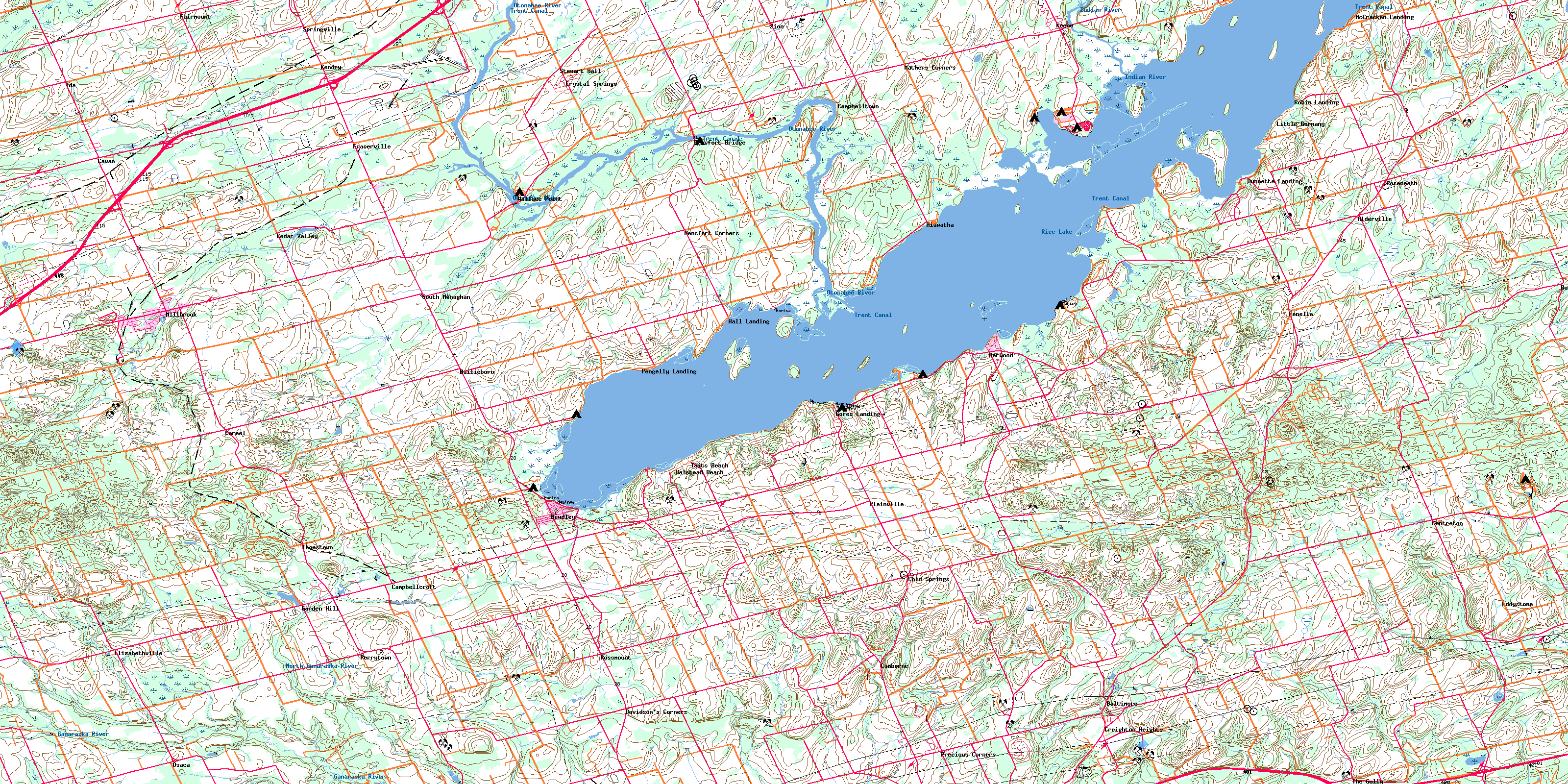
© Department of Natural Resources Canada. All rights reserved.
