Gooderham Topo Map Online
Download Free Topo Map Sheet 031D16 at 1:50,000 scale
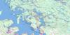
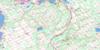
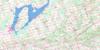
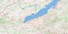
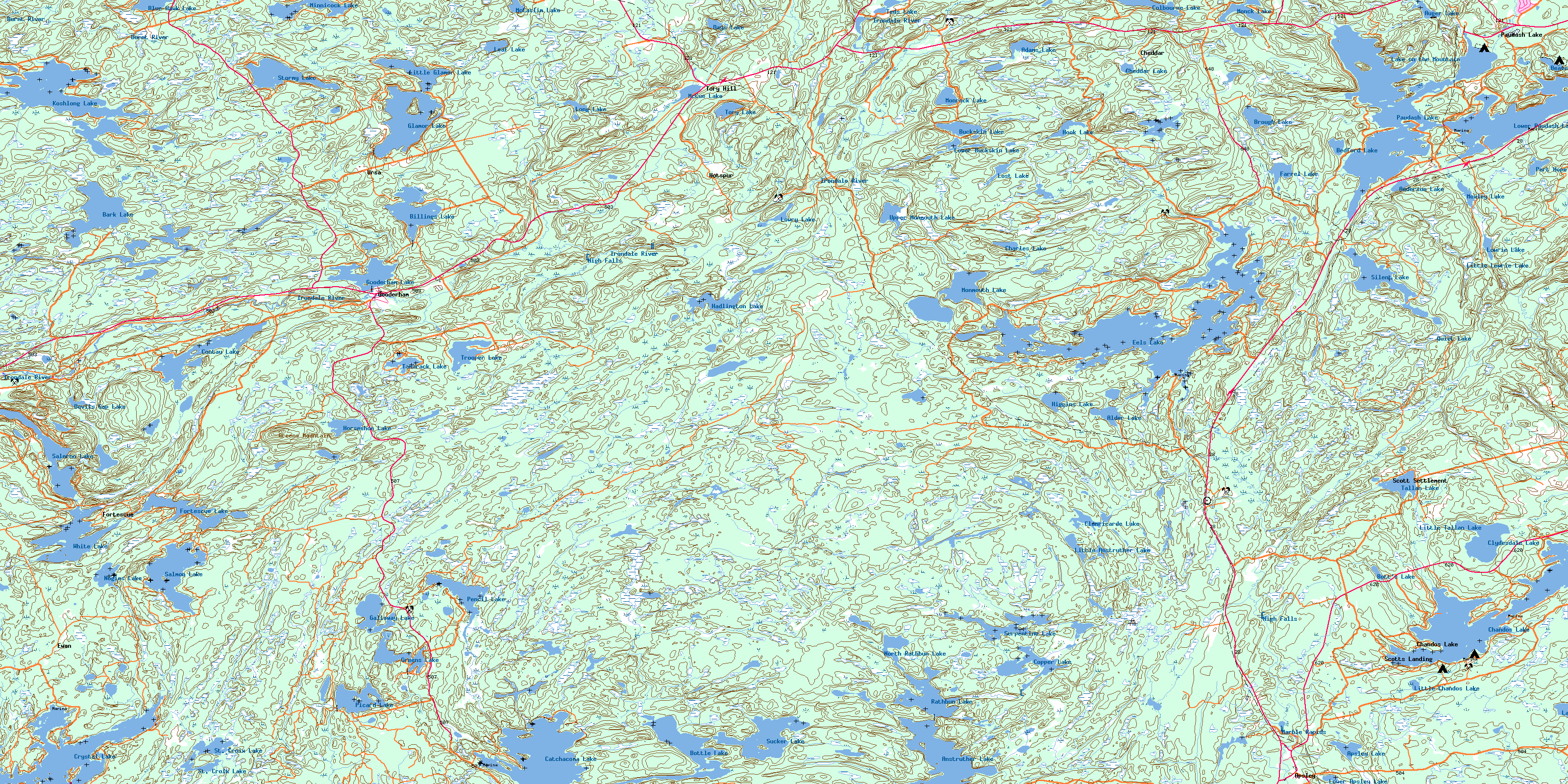
031D16 Gooderham Topo Map
To view this map, mouse over the map preview on the right.
You can also download this topo map for free:
031D16 Gooderham high-resolution topo map image.
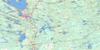
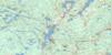
Maps for the Gooderham topo map sheet 031D16 at 1:50,000 scale are also available in these versions:
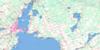
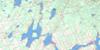
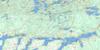
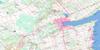
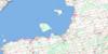
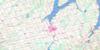
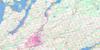
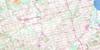
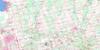
Gooderham Surrounding Area Topo Maps
 |
 |
 |
 |
 |
 |
 |
 |
 |
 |
 |
 |
 |
 |
 |
 |
© Department of Natural Resources Canada. All rights reserved.
Gooderham Gazetteer
The following places can be found on topographic map sheet 031D16 Gooderham:
Gooderham Topo Map: Bays
Clear BayInlet Bay
Joe Bay
North Bay
Upper Black Bay
West Bay
Gooderham Topo Map: Capes
Abrams PointRansom Point
Gooderham Topo Map: Falls
Cope FallsHigh Falls
High Falls
Gooderham Topo Map: Geographical areas
AnstrutherBurleigh
Cardiff
Cavendish
Chandos
Dysart
Faraday
Galway
Glamorgan
Haliburton
Hastings
Monmouth
Parry Sound
Snowdon
Gooderham Topo Map: Islands
Angels IsleBig Island
Big Island
Big Runway Island
Birch Island
Brown Island
Burnt Island
Calf Island
Cow Island
Crane Island
Devils Island
Doc Island
Duncombe Island
Eureka Island
Fox Islands
Geale Island
Hall Island
Hawke Island
Johnston Island
Kent Island
Loon Island
McCool Island
McKee Island
McLean Island
Mink Island
Moulds Island
Mullet Island
Nichols Island
Picnic Island
Rafter Island
Ross Island
Stringer Island
Wallace Island
Gooderham Topo Map: Lakes
Adams LakeAlder Lake
Anderson Lake
Angler Lake
Anstruther Lake
Apsley Lake
Auger Lake
Bark Lake
Bear Lake
Beaver Lake
Bedford Lake
Billings Lake
Blue Hawk Lake
Bottle Lake
Bott's Lake
Brough Lake
Buckskin Lake
Catchacoma Lake
Centre Lake
Chandos Lake
Charles Lake
Cheddar Lake
Clanricarde Lake
Clydesdale Lake
Colbourne Lake
Contau Lake
Copper Lake
Crystal Lake
Days Lake
Devils Gap Lake
Eels Lake
Farrel Lake
Fortescue Lake
Galloway Lake
Glamor Lake
Gooderham Lake
Greens Lake
Hadlington Lake
Higgins Lake
Hook Lake
Horseshoe Lake
Koshlong Lake
Lake on the Mountain
Lasswade Lake
Leaf Lake
Little Anstruther Lake
Little Chandos Lake
Little Glamor Lake
Little Lowrie Lake
Little Tallan Lake
Long Lake
Long Pond
Loom Lake
Loon Call Lake
Lost Lake
Lower Apsley Lake
Lower Buckskin Lake
Lower Monmouth Lake
Lower Paudash Lake
Lowrie Lake
Lowry Lake
McCaslim Lake
McCue Lake
Minnicock Lake
Monck Lake
Monmouth Lake
Monrock Lake
Moxley Lake
Nogies Lake
North Eels Lake
North Pencil Lake
North Rathbun Lake
Paudash Lake
Pencil Lake
Picard Lake
Port Hope Lake
Quiet Lake
Rathbun Lake
Salerno Lake
Salmon Lake
Serpentine Lake
Silent Lake
St. Croix Lake
Stormy Lake
Sucker Lake
Tallan Lake
Tamarack Lake
Teds Lake
Tory Lake
Trooper Lake
Upper Crow Lake
Upper Monmouth Lake
White Lake
Wilbermere Lake
Gooderham Topo Map: Mountains
Greens MountainGooderham Topo Map: Major municipal/district area - major agglomerations
HaliburtonHastings
Gooderham Topo Map: Other municipal/district area - miscellaneous
Anson, Hindon and MindenBicroft
Burleigh and Anstruther
Burleigh-Anstruther-Chandos
Cardiff
Chandos
Dysart, Dudley, Harcourt, Guilford, Harburn, Bruton, Havelock, Eyre and Clyde
Faraday
Galway and Cavendish
Galway-Cavendish and Harvey
Glamorgan
Harvey
Highlands East
Lutterworth
Minden Hills
Monmouth
North Kawartha
Snowdon
Gooderham Topo Map: Conservation areas
Kawartha Highlands Provincial ParkSilent Lake Provincial Park
Gooderham Topo Map: Rapids
Marble RapidsGooderham Topo Map: Rivers
Alder CreekAnstruther Creek
Apsley Creek
Bark Creek
Billings Creek
Bottle Creek
Brough Creek
Buckskin Creek
Burnt River
Camp Creek
Clanricarde Creek
Colbourne Creek
Cope Creek
Crowe River
Crowe River
Deer Creek
East Stony Creek
Eels Creek
Esson Creek
Farrel Creek
Gooderham Creek
Hadlington Creek
Hardings Creek
Higgins Creek
Irondale River
Laronde Creek
Lowrie Creek
McCue Creek
Mink Creek
Miskwaa Ziibi
Monmouth Creek
Monrock Creek
Moxley Creek
Nogies Creek
Pencil Creek
Port Hope Creek
Rathbun Creek
Redmond Creek
Salerno Creek
Silent Creek
Squaw River
St. Croix Creek
Stony Creek
Stormy Creek
Tallan Creek
Tory Creek
Trooper Creek
Gooderham Topo Map: Unincorporated areas
ApsleyChandos
Chandos Lake
Cheddar
Clanricarde
Clydesdale
Ewan
Fortescue
Gooderham
Hotspur
Maxwells
Paudash
Paudash Lake
Scott Settlement
Scotts Landing
Tory Hill
Ursa
© Department of Natural Resources Canada. All rights reserved.
