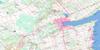
Orillia Topo Map Online
Download Free Topo Map Sheet 031D11 at 1:50,000 scale
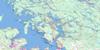
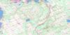
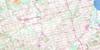
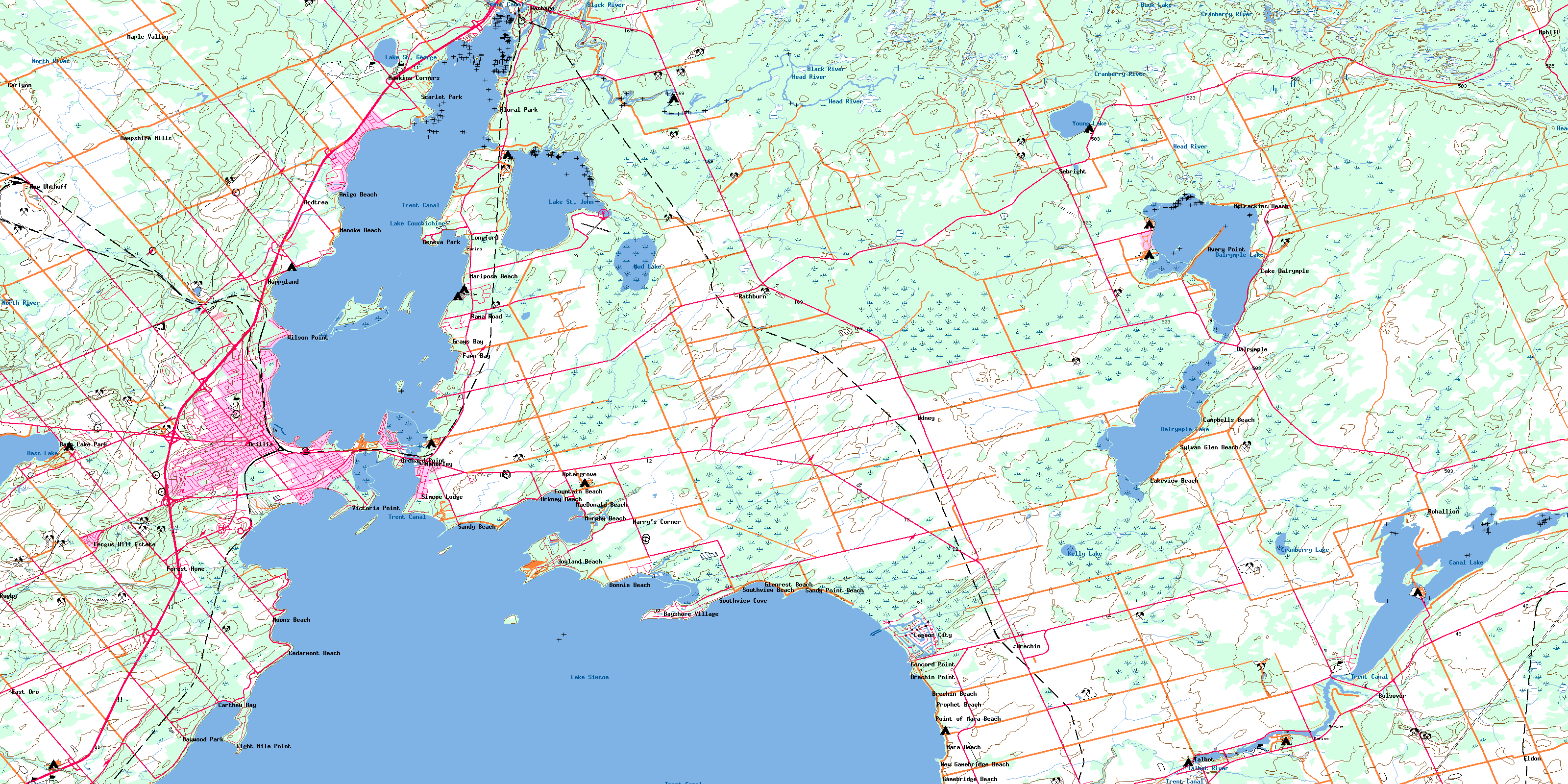
031D11 Orillia Topo Map
To view this map, mouse over the map preview on the right.
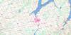
You can also download this topo map for free:
031D11 Orillia high-resolution topo map image.
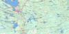
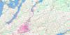
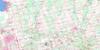
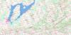
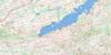
Maps for the Orillia topo map sheet 031D11 at 1:50,000 scale are also available in these versions:
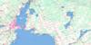
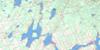
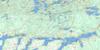
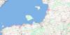
Orillia Surrounding Area Topo Maps
 |
 |
 |
 |
 |
 |
 |
 |
 |
 |
 |
 |
 |
 |
 |
 |
© Department of Natural Resources Canada. All rights reserved.
Orillia Gazetteer
The following places can be found on topographic map sheet 031D11 Orillia:
Orillia Topo Map: Bays
Barnstable BayBrewery Bay
Carthew Bay
Cunningham Bay
Grays Bay
Hopkins Bay
Invermara Bay
McPhee Bay
Old Brewery Bay
Pumpkin Bay
Quarry Bay
Shannon Bay
Shingle Bay
Shingle Bay
Smith's Bay
St. Ives Bay
Woods Bay
Orillia Topo Map: Beaches
Moose BeachOrillia Topo Map: Capes
Avery PointBarnfield Point
Black Point
Brechin Point
Cedar Point
Champlain Point
Concord Point
Couchiching Point
Eight Mile Point
Floral Point
Four Mile Point
Gamebridge Point
Heward Point
Invermara Point
Leacock Point
McGinnis Point
McRae Point
Mooley Point
Muley Point
Mulley Point
Orchard Point
Owaissa Point
Plumb Point
Prophet Point
Victoria Point
Orillia Topo Map: Channels
The NarrowsOrillia Topo Map: City
Kawartha LakesOrillia
Orillia Topo Map: Geographical areas
CardenDalton
Digby
Eldon
Laxton
Mara
Ontario
Orillia
Oro
Rama
Orillia Topo Map: Indian Reserves
Mnjikaning First Nation 32Rama First Nation Indian Reserve 32
Rama Indian Reserve 32
Réserve indienne Mnjikaning First Nation 32
Réserve indienne Rama 32
Réserve indienne Rama First Nation 32
Orillia Topo Map: Islands
Bird IslandCedar Island
Chiefs Island
Dry Shoal Islet
Garnet Island
Goat Island
Goffatt Island
Grape Island
Green Island
Heron Island
Herring Island
Horseshoe Island
Île Beausoleil
Little Falls Island
Nadie Island
Orillia Island
Portage Island
Rama Island
Ship Island
Strawberry Island
Thistle Island
Orillia Topo Map: Lakes
Bass LakeBuck Lake
Canal Lake
Couchiching Lake
Cranberry Lake
Dalrymple Lake
Kelly Lake
Lake Couchiching
Lake Simcoe
Lake St. George
Lake St. John
Mud Lake
Young Lake
Orillia Topo Map: Mountains
Logan HillOrillia Topo Map: Major municipal/district area - major agglomerations
DurhamOntario
Simcoe
United Counties of Northumberland and Durham
Victoria
Orillia Topo Map: Other municipal/district area - miscellaneous
BexleyBobcaygeon/Verulam
Brock
Carden
Carden/Dalton
Dalton
Eldon
Emily
Fenelon
Laxton, Digby and Longford
Manvers
Mara
Mariposa
Medonte
Ops
Orillia
Oro-Medonte
Rama
Ramara
Severn
Somerville
South Orillia
Verulam
Orillia Topo Map: Conservation areas
Bass Lake Provincial ParkCanal Lake Concrete Arch Bridge National Historic Site of Canada
Dalton Digby Wildlands Provincial Park
Lieu historique national du Canada de la Voie-Navigable-Trent--Severn
Lieu historique national du Canada du Pont-de-Béton-en-Arc-du-Lac-Canal
Lieu historique national du Canadades Barrages-de-Pêche-Mnjikaning
Mara Provincial Park
McRae Point Provincial Park
Mnjikaning Fish Weirs National Historic Site of Canada
Trent--Severn Waterway National Historic Site of Canada
Orillia Topo Map: Rivers
Black RiverBluffs Creek
Butternut Creek
Cranberry River
Deverells Creek
Grouse Creek
Hawkestone Creek
Head River
North River
Severn River
Silver Creek
St. John Creek
Sucker Creek
Talbot River
Wainman's Creek
Orillia Topo Map: Shoals
Eight Mile ShoalMaynards Shoal
Moons Shoal
The Limestones
Trout Shoal
Whiskey Shoal
Whitefish Shoal
Orillia Topo Map: Unincorporated areas
Amigo BeachArdtrea
Atherley
Avery Point
Bass Lake Park
Bayshore Village
Baywood Park
Bolsover
Bonnie Beach
Brechin
Brechin Beach
Brechin East
Brechin Point
Buena Vista Park
Campbells Beach
Carlyon
Carthew
Carthew Bay
Cedarmont Beach
Concord Point
Cumberland Beach
Dalrymple
East Oro
Eight Mile Point
Eldon
Eldon Station
Fawkham
Fawn Bay
Fergus Hill Estate
Floral Park
Forest Home
Fountain Beach
Gamebridge
Gamebridge Beach
Geneva Park
Glenrest Beach
Grays Bay
Greys Bay
Hampshire Mills
Happyland
Harry's Corner
Hawkestone
Hawkins Corners
Joyland Beach
Lagoon City
Lake Dalrymple
Lakeview Beach
Longford
Longford Mills
MacDonald Beach
Maple Avenue
Maple Valley
Mara Beach
Mariposa Beach
McCrackins Beach
Menoke Beach
Millington
Moons Beach
Murphy Beach
New Gamebridge Beach
New Uhthoff
North Mara
Oaklawn Beach
O'Connell
Orchard Point
Orkney Beach
Point of Mara Beach
Portage Road
Prophet Beach
Prophet Point
Rama
Rama Road
Rathburn
Rohallion
Rugby
Sandy Beach
Sandy Point Beach
Scarlet Park
Schepeler
Sebright
Simcoe Lodge
South View
South View
Southview Beach
Southview Cove
Sylvan Glen Beach
Tafton
Talbot
Tanglewood Beach
Udney
Uhthoff
Uphill
Uptergrove
Victoria Point
Washago
Wilson Point
© Department of Natural Resources Canada. All rights reserved.
