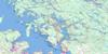
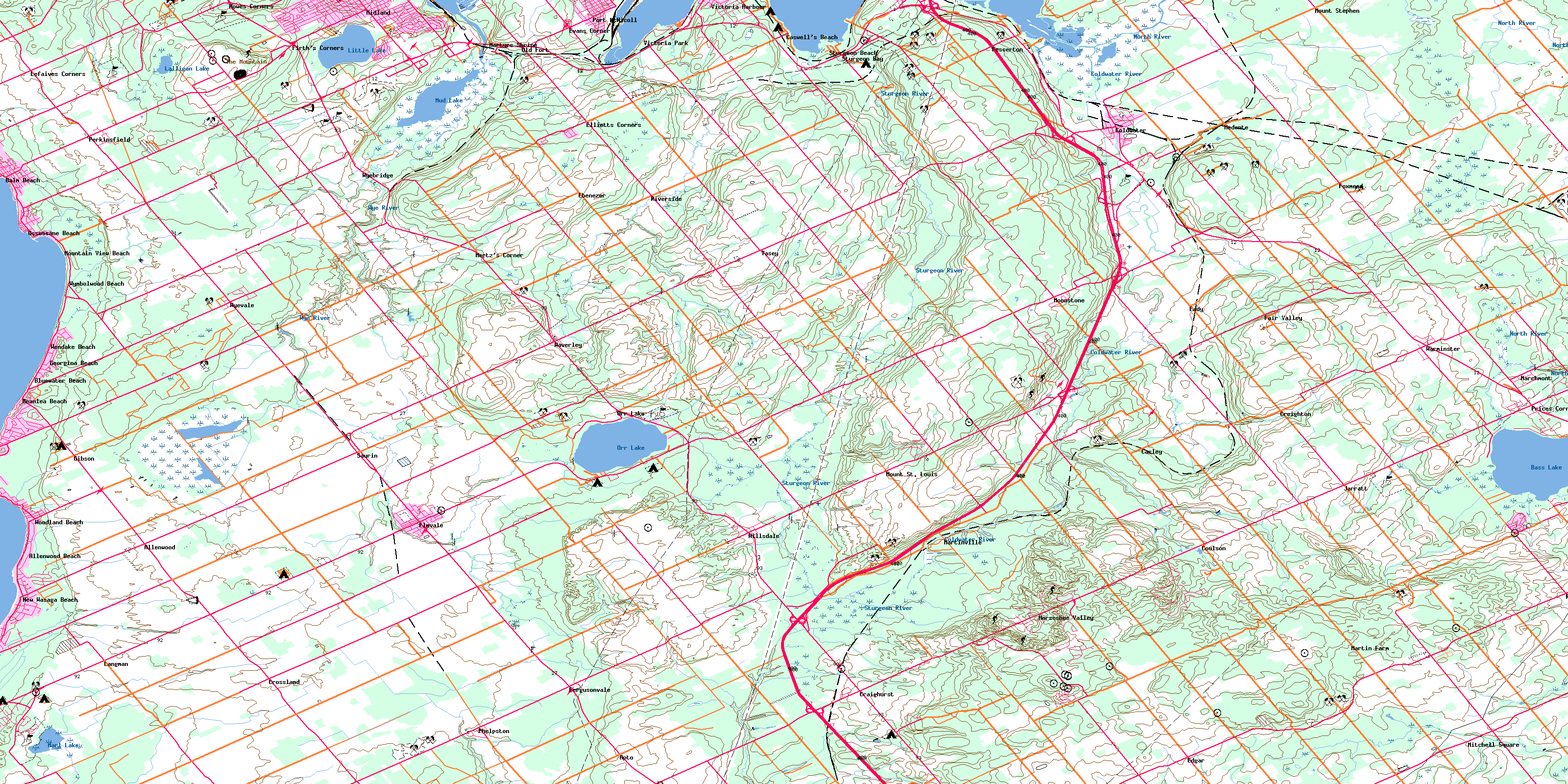
Elmvale Topo Map Online
Download Free Topo Map Sheet 031D12 at 1:50,000 scale
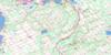
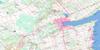
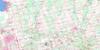
031D12 Elmvale Topo Map
To view this map, mouse over the map preview on the right.
You can also download this topo map for free:
031D12 Elmvale high-resolution topo map image.
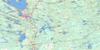
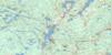
Maps for the Elmvale topo map sheet 031D12 at 1:50,000 scale are also available in these versions:
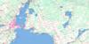
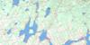
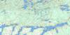
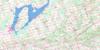
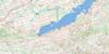
Elmvale Surrounding Area Topo Maps
 |
 |
 |
 |
 |
 |
 |
 |
 |
 |
 |
 |
 |
 |
 |
 |
© Department of Natural Resources Canada. All rights reserved.
Elmvale Gazetteer
The following places can be found on topographic map sheet 031D12 Elmvale:
Elmvale Topo Map: Bays
Baie de MidlandBaie des Esturgeons
Baie Georgienne
Catfish Bay
D'Aoust Bay
Georgian Bay
Hog Bay
Matchedash Bay
Midland Bay
Nottawasaga Bay
Sturgeon Bay
Tiffin Basin
Elmvale Topo Map: Capes
Bush's PointStoney Point
Tanner Point
Yarwood Point
Elmvale Topo Map: Geographical areas
FlosMatchedash
Medonte
Orillia
Oro
Simcoe
Sunnidale
Tay
Tiny
Vespra
Elmvale Topo Map: Lakes
Bass LakeLalligan Lake
Little Lake
Marl Lake
Midland Park Lake
Mud Lake
Orr Lake
Rumbles Mill Pond
Wye Lake
Elmvale Topo Map: Mountains
Adamson's HillCook's Hill
Darby's Hill
Faint's Hill
French's Hill
Guthrie's Hill
La Montagne
Moonstone Hill
Robinson's Hill
Rowley's Hill
The Mountain
Wireless Hill
Elmvale Topo Map: Major municipal/district area - major agglomerations
SimcoeElmvale Topo Map: Other municipal/district area - miscellaneous
ClearviewFlos
Medonte
Orillia
Oro
Oro-Medonte
Severn
Springwater
Tay
Tay
Tiny
Vespra
Elmvale Topo Map: Conservation areas
Lieu historique national du Canada de la Mission-Saint-LouisRéserve nationale de faune du Marais-Wye
Saint-Louis Mission National Historic Site of Canada
Wasaga Beach Provincial Park
Waubaushene Beaches Provincial Nature Reserve
Waubaushene Beaches Provincial Park
Wye Marsh National Wildlife Area
Elmvale Topo Map: Rivers
Bear CreekColdwater River
Copeland Creek
Hawkestone Creek
Hog Creek
Little Marl Creek
Marl Creek
Marl Creek
McMahon Creek
North River
Purbrook Creek
Sturgeon Creek
Sturgeon Creek
Sturgeon River
Willow Creek
Wye River
Elmvale Topo Map: Towns
MidlandElmvale Topo Map: Unincorporated areas
AllenwoodAllenwood Beach
Apto
Balm Beach
Bluewater Beach
Carley
Caswell's Beach
Coldwater
Coulson
Craighurst
Creighton
Crossland
Deanlea Beach
Eady
Ebenezer
Edgar
Elliotts Corners
Elmvale
Evans Corner
Fair Valley
Fergusonvale
Fesserton
Firth's Corners
Foxmead
Georgina Beach
Gibson
Hillsdale
Horseshoe Valley
Howes Corners
Jarratt
Langman
Lefaives Corners
Marchmont
Martin Farm
Martinville
Martyrs Shrine
McMillan
Medonte
Melduf
Mertz's Corner
Mitchell Square
Moonstone
Mount St. Louis
Mount Stephen
Mountain View Beach
New Wasaga Beach
Old Fort
Orr Lake
Ossossane Beach
Perkinsfield
Phelpston
Port McNicoll
Portswitch
Prices Corner
Riverside
Rugby
Sandy Bend
Saurin
Sturgeon Bay
Sturgeon Beach
Tay
Tiffin
Uhthoff
Vasey
Victoria Harbour
Victoria Park
Warminster
Waubaushene
Waverley
Wendake Beach
Woodland Beach
Wyebridge
Wyevale
Wymbolwood Beach
Elmvale Topo Map: Low vegetation
Craig's SwampGray's Marsh
Wye Marsh
© Department of Natural Resources Canada. All rights reserved.
