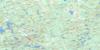
Quyon Topo Map Online
Download Free Topo Map Sheet 031F09 at 1:50,000 scale
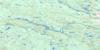
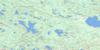
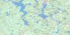
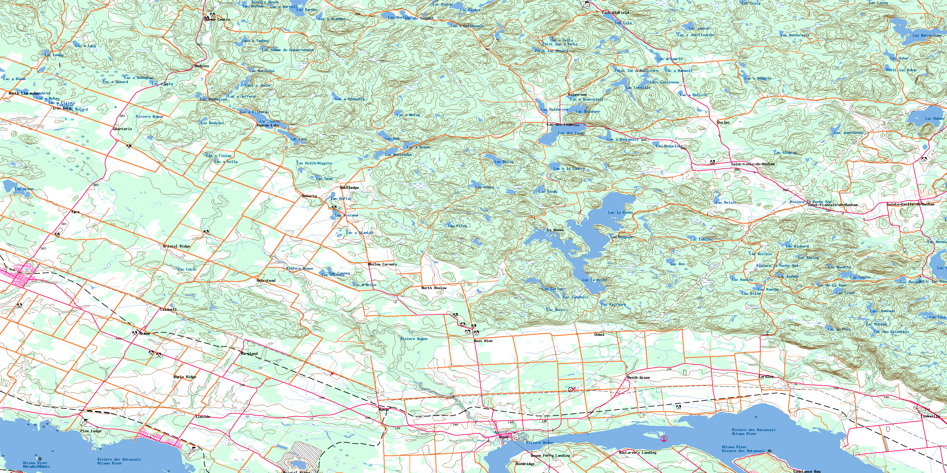
031F09 Quyon Topo Map
To view this map, mouse over the map preview on the right.
You can also download this topo map for free:
031F09 Quyon high-resolution topo map image.
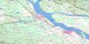
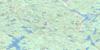
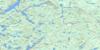
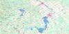
Maps for the Quyon topo map sheet 031F09 at 1:50,000 scale are also available in these versions:
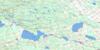
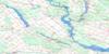
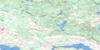
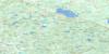
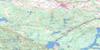
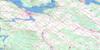
Quyon Surrounding Area Topo Maps
 |
 |
 |
 |
 |
 |
 |
 |
 |
 |
 |
 |
 |
 |
 |
 |
© Department of Natural Resources Canada. All rights reserved.
Quyon Gazetteer
The following places can be found on topographic map sheet 031F09 Quyon:
Quyon Topo Map: Bays
Baie à CowleyBaie à Webb
Baie Alpha
Baie Cornu
Baie Dion
Baie Dirty Gut
Baie Fairburn
Baie Franks
Baie Haughton
Baie Noire
Baie Norway
Buckham Bay
Buckham's Bay
Stewarts Bay
Stories Bay
Quyon Topo Map: Miscellaneous campsites
Camp GatineauQuyon Topo Map: Capes
Buckham PointBuckham's Point
Champ à Smith
Crown Point
Le Casque à Palette
McCourters Point
Pointe Cornu
Pointe de la Chapelle
Pointe Dion
Pointe Pellerin
Pointe Rocheuse
Sand Point
Quyon Topo Map: Channels
Woolsey NarrowsQuyon Topo Map: City
OttawaQuyon Topo Map: Cliffs
Escarpement d'EardleyQuyon Topo Map: Geographical areas
AldfieldBristol
Clarendon
Eardley
Fitzroy
Masham
McNab
National Capital Region
National Capital Region
Onslow
Région de la Capitale nationale
Région de la Capitale nationale
Saint-Dominique
Saint-Edward
Saint-François-d'Assisi
Saint-Mary
Thorne
Torbolton
Quyon Topo Map: Hydraulic construction
Barrage à LaurinQuyon Topo Map: Islands
Île CampbellÎle Lighthouse
Île Mohr
Quyon Topo Map: Lakes
Lac à BarberLac à Beausoleil
Lac à Bélisle
Lac à Bourgeois
Lac à Breen
Lac à Connelly
Lac à Daly
Lac à Donoghue
Lac à Elliott
Lac à Finlay
Lac à Guilbeault
Lac à Horner
Lac à Howard
Lac à Jeffery
Lac à Jos-Cloutier
Lac à Kelly
Lac à Killoran
Lac à la Loutre
Lac à Lang
Lac à Laughren
Lac à Laurin
Lac à Maxwell
Lac à McKay
Lac à Monette
Lac à Murrell
Lac à Nolan
Lac à Philippe
Lac à Piché
Lac à Rowat
Lac à Standen
Lac à Stanton
Lac à Yetts
Lac Anderson
Lac au Foin
Lac Barnes
Lac Beauclair
Lac Beckwith
Lac Bélair
Lac Bélanger
Lac Belisle
Lac Ben
Lac Blind
Lac Bob
Lac Brême
Lac Burns
Lac Bussière
Lac Campbell
Lac Church
Lac Clair
Lac Colbert
Lac Cooney
Lac Craig
Lac Curley
Lac Danielson
Lac de la Vase
Lac des Barbottes
Lac des Chats
Lac des Chats
Lac des Épinettes
Lac des Loups
Lac des Trois Monts
Lac du Boisé
Lac du Canard
Lac du Gouvernement
Lac du Serpent
Lac Fairburn
Lac Fisher
Lac Gauvreau
Lac Gervais
Lac Gibbons
Lac Gingras
Lac Glynn
Lac Green
Lac Halverson
Lac Hamilton
Lac Hawley
Lac Hodgins
Lac Ireland
Lac Janese
Lac Jean-Venne
Lac Keith-Wiggins
Lac Kelly
Lac Kidder
Lac Kingsbury
Lac la Pêche
Lac Lacaille
Lac Lacey
Lac Lapêche
Lac Lauvignon
Lac Leblanc
Lac Lemay
Lac Lola
Lac Long
Lac Long
Lac Long
Lac Long
Lac Lucas
Lac Lusk
Lac Mahon
Lac Martin
Lac Martins
Lac Master
Lac McCord
Lac McLean
Lac Mecham
Lac Meunier
Lac Moffat
Lac Monette
Lac Mongelais
Lac Motherwell
Lac Mud
Lac Mudpout
Lac Notre-Dame
Lac O'Brien
Lac Oxley
Lac Philippe
Lac Prendergast
Lac Prudhomme
Lac Racine
Lac Ramsay
Lac Renaud
Lac Ricard
Lac Richard
Lac Riley
Lac Ruthledge
Lac Rutledge
Lac Sandy
Lac Sellar
Lac Swan
Lac Taylor
Lac Thoms
Lac Thorne
Lac Toad
Lac Towell
Lac Usher
Lac Wiggins
Lacs à Jowle
Lacs à Touhey
Lacs Cousineau
Lacs Jumeaux
Petit lac à Buissière
Petit lac à Yetts
Petit lac Bélisle
Petit lac Ménard
Petit lac Renaud
Petit lac Usher
Quyon Topo Map: Miscellaneous
Sainte-SophieQuyon Topo Map: Mountains
Butte à NolanLa Tuque
Rocher d'Alex
Quyon Topo Map: Major municipal/district area - major agglomerations
CarletonLes Collines-de-l'Outaouais
Ottawa-Carleton
Pontiac
Quyon Topo Map: Other municipal/district area - miscellaneous
Circonscription électorale de PontiacDistrict électoral de Luskville
District électoral de Quyon
District électoral de Wyman
District électoral d'Eardley
District électoral d'Onslow
Fitzroy
Goulbourn
Huntley
Marlborough
McNab
McNab/Braeside
North Gower
Osgoode
Rideau
Torbolton
West Carleton
Quyon Topo Map: Rivers
Branche Généreux-GauthierBranche Legros-Robert
Branche Nord
Branche Robert-Diotte
Branche Robert-Dumais
Branche Sincennes-Legros
Cours d'eau Bélisle
Cours d'eau Cloutier
Cours d'eau Dion
Cours d'eau Quyon
Cours d'eau Tracey
Crique à Chartrand
Crique Alarie
Décharge du Lac Gingras
Décharge du Lac la Pêche
Ottawa River
Rivière des Outaouais
Rivière des Outaouais
Rivière la Pêche
Rivière la Pêche Sud
Rivière Ottawa
Rivière Quyon
Rivière Quyon Est
Ruisseau à Engley
Ruisseau à Gélinas-Richard
Ruisseau à Gibson
Ruisseau à Jeffery
Ruisseau à Knight
Ruisseau à McCord
Ruisseau à McCrank
Ruisseau à Ouellet
Ruisseau à Parent
Ruisseau Black
Ruisseau Bradley
Ruisseau Dam
Ruisseau Dame
Ruisseau de la Prairie
Ruisseau du Lac à la Loutre
Ruisseau du Moulin
Ruisseau Factory
Ruisseau Gervais
Ruisseau Golden
Ruisseau Ireland
Ruisseau McLennan
Ruisseau Mill Dam
Ruisseau Mohr
Ruisseau Motherwell
Ruisseau Phillips
Ruisseau Silver
Ruisseau Stevenson
Sous-branche Martineau-Labelle
Sous-branche Moreau-Guertin
Quyon Topo Map: Towns
QuyonShawville
Wakefield
Quyon Topo Map: Unincorporated areas
Beech GroveBradley
Bristol
Bristol Mines
Bristol Ridge
Bristol-les-Mines
Buckham Bay
Buckham's Bay
Caldwell
Camp-Richelieu
Charteris
Constance Bay
Doherty
Duclos
Duclos
Eardley
East Aldfield
Elmside
Halverson
Hodgins
Iron Gate
Lac-des-Loups
Le Haven
Lusk
Luskville
Luskville
MacLaren's Landing
Maple Ridge
Maryland
Masham Mills
McKay's Waterfront
McKee
Mohr
Moss Mine
North Clarendon
North Onslow
Norway Bay
Norway Bay
Onslow Corners
Parker
Pine Lodge
Plage-Baie-Noire
Plage-Carcajou
Plage-Charron
Plage-Desjardins
Plage-Edward-Kennedy
Plage-François-Tremblay
Plage-Jos-Kennedy
Plage-Stanley
Plage-Taber
Quyon
Quyon
Quyon Ferry Landing
Ruthledge
Sainte-Cécile-de-Masham
Sainte-Cécile-de-Masham
Saint-François-de-Masham
Saint-Louis-de-Masham
Shawville
Steel
Thorne Centre
Thorne Lake
Weirstead
Wolf Lake
Woodridge
Wyman
Yarm
Quyon Topo Map: Valleys
Défilé WoolseyQuyon Topo Map: Low vegetation
La PlaineLac à Nelson
Marais à Cowley
Marais à Percy-Tubman
Marais Beaver
The Bog
Quyon Topo Map: Villages
AldfieldBristol
Bristol
Clarendon
Clarendon
Eardley
La Pêche
Masham-Nord
Onslow
Pontiac
Sainte-Cécile-de-Masham
Shawville
Wright
© Department of Natural Resources Canada. All rights reserved.
