Arnprior Topo Map Online
Download Free Topo Map Sheet 031F08 at 1:50,000 scale
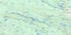
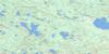
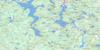
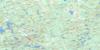
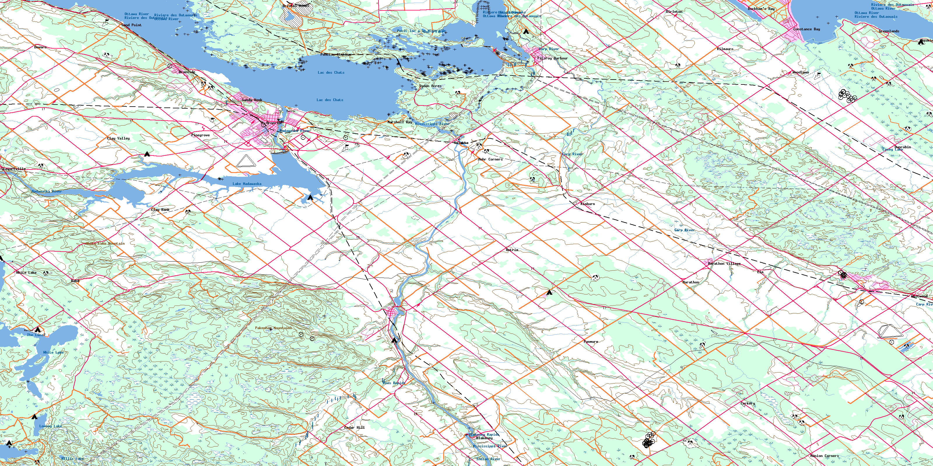
031F08 Arnprior Topo Map
To view this map, mouse over the map preview on the right.
You can also download this topo map for free:
031F08 Arnprior high-resolution topo map image.
Maps for the Arnprior topo map sheet 031F08 at 1:50,000 scale are also available in these versions:
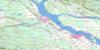
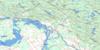
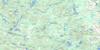
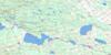
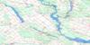
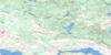
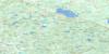
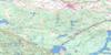
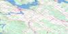
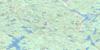
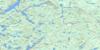
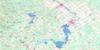
Arnprior Surrounding Area Topo Maps
 |
 |
 |
 |
 |
 |
 |
 |
 |
 |
 |
 |
 |
 |
 |
 |
© Department of Natural Resources Canada. All rights reserved.
Arnprior Gazetteer
The following places can be found on topographic map sheet 031F08 Arnprior:
Arnprior Topo Map: Bays
Baie BlackBaie du Camp
Baie du Chat
Baie Kilroy
Baie Pontiac
Bane Bay
Buckham Bay
Buckham's Bay
Constance Bay
Goodwins Bay
Hayes Bay
Horseshoe Bay
Lavergne Bay
Le Bas-Fond
Marshall Bay
Pickerel Bay
Pocket Bay
Rhoddys Bay
Roddys Bay
Three Mile Bay
Arnprior Topo Map: Capes
Indian PointLavergne Point
Norway Point
Pointe aux Roches
Pointe Hudson
Pointe Indienne
Pointe Julius
Pointe Mohr
Pointe Ross
Rafting Point
Rhoddys Point
Stony Point
Arnprior Topo Map: Channels
Le Vieux CanalArnprior Topo Map: City
OttawaArnprior Topo Map: Falls
Chute ConroyChute O'Connor
Arnprior Topo Map: Forests
The Burnt LandsArnprior Topo Map: Geographical areas
BristolDarling
Eardley
Fitzroy
Huntley
Lanark
March
McNab
National Capital Region
National Capital Region
Onslow
Pakenham
Ramsay
Région de la Capitale nationale
Région de la Capitale nationale
Renfrew
Torbolton
Arnprior Topo Map: Hydraulic construction
Barrage de la Chute-des-ChatsBarrage des Chats
Centrale de la Chute-des-Chats
La Barrière
Le Carcajou
Arnprior Topo Map: Islands
Alexandra IslandBarber Island
Beaver Island
Crane Island
Grierson Island
Île Allen
Île du Centre
Île Greene
Île Mulligan
Île O'Connor
Île Twelve Mile
Kedey's Island
Killaly Island
Laflamme Island
Little Birch Island
Morris Island
Slide Island
Snake Island
Victoria Island
Arnprior Topo Map: Lakes
Casey LakeLac à Farr
Lac des Chats
Lac des Chats
Lake Madawaska
Lowney Lake
Petit lac à la Mine d'Or
White Lake
Willis Lake
Arnprior Topo Map: Marine navigation features
Baskin WharfArnprior Topo Map: Miscellaneous
Poste de la Chute-des-ChatsArnprior Topo Map: Mountains
Boomcamp HillHaveys Hill
Indian Hill
Pakenham Mountains
The Sand Hills
White Lake Mountain
Arnprior Topo Map: Major municipal/district area - major agglomerations
CarletonLanark
Les Collines-de-l'Outaouais
Ottawa-Carleton
Pontiac
Renfrew
Arnprior Topo Map: Other municipal/district area - miscellaneous
DarlingFitzroy
Goulbourn
Huntley
Lanark
Lanark Highlands
Lavant, Dalhousie and North Sherbrooke
Marlborough
McNab
McNab/Braeside
North Gower
North West Lanark
Osgoode
Pakenham
Ramsay
Rideau
Torbolton
West Carleton
Arnprior Topo Map: Conservation areas
Alexander Stewart Provincial ParkBurnt Lands Provincial Park
Fitzroy Provincial Park
White Lake Conservation Reserve
Arnprior Topo Map: Provinces
OntarioArnprior Topo Map: Rapids
Blakeney RapidsChute Mohr
Flat Rapids
Rapides des Chats
Ross Rapids
Arnprior Topo Map: Rivers
Campbell CreekCarp River
Cartwrights Creek
Cody Creek
Constance Creek
Dochart Creek
Forsyth Creek
Forsythe Creek
Glen Creek
Hansons Creek
Haydons Creek
Indian Creek
Indian River
Madawaska River
Mississippi River
Mississippi River Snye
Ottawa River
Ottawa River South Branch
Rivière des Outaouais
Rivière des Outaouais
Rivière Ottawa
Ruisseau Belisle
Ryan Creek
Stanley Creek
The Canal
Waba Creek
Arnprior Topo Map: Shoals
Constance ShoalArnprior Topo Map: Towns
ArnpriorMississippi Mills
Quyon
Arnprior Topo Map: Unincorporated areas
AntrimArmitage
Baskin's Beach
Bennies Corners
Blakeney
Braeside
Bristol Mines
Bristol-les-Mines
Buckham Bay
Buckham's Bay
Carp
Cedar Hill
Chats Haven
Clay Bank
Clay Valley
Constance Bay
Corkery
Dewars
Dirleton
Dochart
Dunrobin
Elm
Fitzroy
Fitzroy Harbour
Galetta
Greenlands
Kilmaurs
Kinburn
Kingdon Mine
Knox Landing
Malwood
Manion Corners
Mansfield
Marathon
Marathon Village
Marshall Bay
Mohr Corners
Pakenham
Panmure
Pinegrove
Plage-Albert-Tremblay
Plage-Bélisle
Plage-de-la-Pointe-Indienne
Plage-Julius-Point
Plage-Léo-Allen
Plage-Philippe-Allen
Plage-Pierre-Tremblay
Plage-Pontiac
Pontiac
Pontiac Station
Robertson Corners
Sand Point
Sandy Beach
Sandy Hook
Snedden
Stewartville
Uneeda
Vydon Acres
Waba
Westwood
White
White Lake
Woodlawn
Arnprior Topo Map: Low vegetation
Blackberry MeadowArnprior Topo Map: Villages
BristolBristol
Eardley
Onslow
Pontiac
© Department of Natural Resources Canada. All rights reserved.
