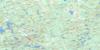
Achray Topo Map Online
Download Free Topo Map Sheet 031F13 at 1:50,000 scale
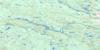
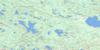
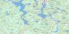
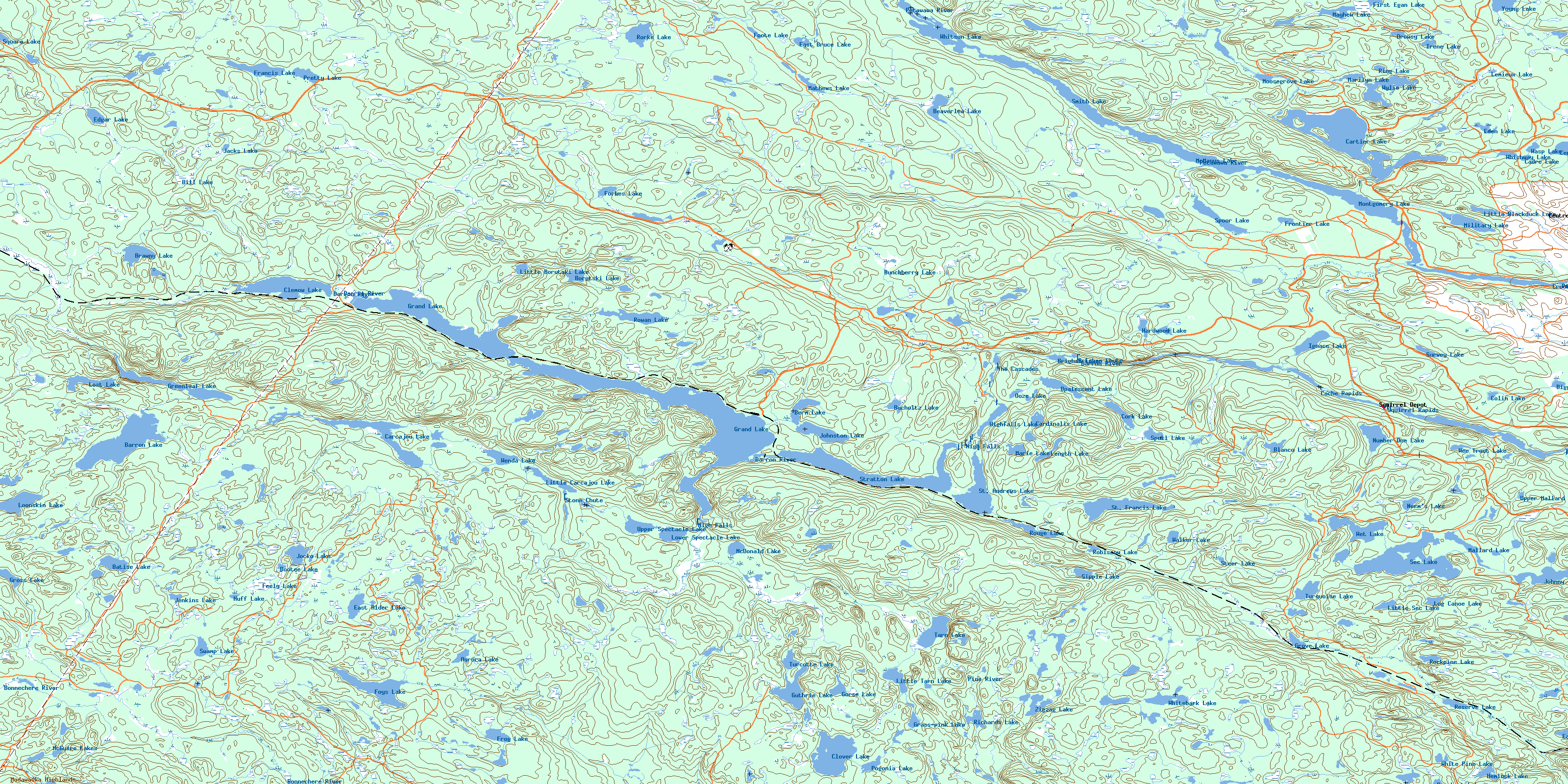
031F13 Achray Topo Map
To view this map, mouse over the map preview on the right.
You can also download this topo map for free:
031F13 Achray high-resolution topo map image.
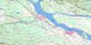
Maps for the Achray topo map sheet 031F13 at 1:50,000 scale are also available in these versions:
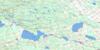
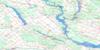
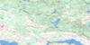
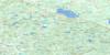
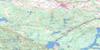
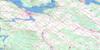
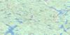
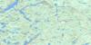
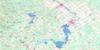
Achray Surrounding Area Topo Maps
 |
 |
 |
 |
 |
 |
 |
 |
 |
 |
 |
 |
 |
 |
 |
 |
© Department of Natural Resources Canada. All rights reserved.
Achray Gazetteer
The following places can be found on topographic map sheet 031F13 Achray:
Achray Topo Map: Bays
Carcajou BayConnor Bay
Kennedy Bay
Achray Topo Map: Capes
The CapesAchray Topo Map: Falls
Brigham ChuteFirst Chute
High Falls
High Falls
Stone Chute
Achray Topo Map: Geographical areas
BarronBronson
Clancy
Edgar
Fraser
Guthrie
Master
McKay
Nipissing
Niven
Renfrew
Richards
Stratton
Wylie
Achray Topo Map: Lakes
Alder LakeAurora Lake
Barron Lake
Batise Lake
Beaverlea Lake
Beech-drops Pond
Beechnut Lake
Berm Lake
Biggar Lake
Bill Lake
Blackduck Lake
Blanco Lake
Bootee Lake
Borutski Lake
Brawny Lake
Brigham Lake
Bucholtz Lake
Bunchberry Lake
Cadre Lake
Carcajou Lake
Cardinalis Lake
Cartier Lake
Centre Lake
Clemow Lake
Clover Lake
Colin Lake
Cork Lake
Drowsy Lake
East Alder Lake
East Bear Lake
East Bruce Lake
Eden Lake
Edgar Lake
Egan Lake
Feely Lake
First Egan Lake
Foote Lake
Forbes Lake
Foys Lake
Francis Lake
Frog Lake
Frontier Lake
Garveys Lake
Gorse Lake
Grand Lake
Grass-pink Lake
Greenleaf Lake
Gross Lake
Grove Lake
Guthrie Lake
Hardwood Lake
Hemlock Lake
Highfalls Lake
Huff Lake
Ignace Lake
Irene Lake
Jacks Lake
Jenkins Lake
Jocko Lake
Johnny Lake
Johnston Lake
Lemieux Lake
Length Lake
Little Blackduck Lake
Little Borutski Lake
Little Carcajou Lake
Little Lock Lake
Little Sec Lake
Little Tarn Lake
Lock Lake
Log Canoe Lake
Loonskin Lake
Lost Lake
Lower Spectacle Lake
Mallard Lake
Marie Lake
Marilyn Lake
Mathews Lake
Mayhew Lake
McDonald Lake
McGuire Lakes
McManus Lake
Military Lake
Montgomery Lake
Moosegrove Lake
Norm's Lake
Number One Lake
Ooze Lake
Opalescent Lake
Pogonia Lake
Pretty Lake
Reserve Lake
Richards Lake
Ring Lake
Robiscow Lake
Rockpine Lake
Rorke Lake
Rouge Lake
Rowan Lake
Sec Lake
Sipple Lake
Smith Lake
Spectacle Lakes
Spectacle Lakes
Spoil Lake
Spoor Lake
Square Lake
St. Andrews Lake
St. Francis Lake
Steer Lake
Stratton Lake
Survey Lake
Swamp Lake
Tarn Lake
Turcotte Lake
Turquoise Lake
Upper Mallard Lake
Upper Spectacle Lake
Walker Lake
Wasp Lake
Wee Trout Lake
Wenda Lake
Wet Lake
Whichway Lake
White Pine Lake
Whitebark Lake
Whitson Lake
Wylie Lake
Young Lake
Zigzag Lake
Achray Topo Map: Military areas
Base des Forces canadiennes PetawawaCanadian Forces Base Petawawa
Champ de tir et champ de manoeuvre Petawawa
Petawawa Range and Training Area
Achray Topo Map: Mountains
Madawaska HighlandsPetawawa Hills
Achray Topo Map: Other municipal/district area - miscellaneous
Alice and FraserHagarty and Richards
Killaloe, Hagarty and Richards
Laurentian Valley
Rolph, Buchanan, Wylie and McKay
Stafford and Pembroke
Achray Topo Map: Conservation areas
Algonquin Provincial ParkAchray Topo Map: Rapids
Cache RapidsCrooked Rapids
Squirrel Rapids
The Cascades
Achray Topo Map: Rivers
Barron RiverBasin Creek
Batise Creek
Beaverlea Creek
Biggar Creek
Blackduck Creek
Blanco Creek
Bonnechere River
Borutski Creek
Bucholtz Creek
Carcajou Creek
Cartier Creek
Centre Creek
Depot Creek
East Bruce Creek
Emma Creek
Feely Creek
Forbes Creek
Frog Creek
Gorse Creek
Greenleaf Creek
Gross Creek
Guthrie Creek
Hardwood Creek
Ignace Creek
Jenkins Creek
Johnston Creek
Length Creek
Little Cartier Creek
Little Cranberry Creek
Lone Creek
Louie Creek
Mallard Creek
Marie Creek
Marilyn Creek
Mathews Creek
Mayhew Creek
McDonald Creek
McGuire Creek
Military Creek
Mulock Creek
Number One Creek
Petawawa River
Pine River
Rorke Creek
Rouge Creek
Rowan Creek
Sec Creek
Spoor Creek
St. Francis Creek
Steer Creek
Survey Creek
Travers Creek
Traverse Creek
Turners Creek
Turquoise Creek
Walker Creek
Whichway Creek
Whitson Creek
Young Creek
Zigzag Creek
Achray Topo Map: Road features
High Falls PortageAchray Topo Map: Towns
Laurentian HillsAchray Topo Map: Unincorporated areas
AchrayBrawny
Centre Lake Junction
Dahlia
Hydro
Kathmore
Squirrel Depot
© Department of Natural Resources Canada. All rights reserved.
