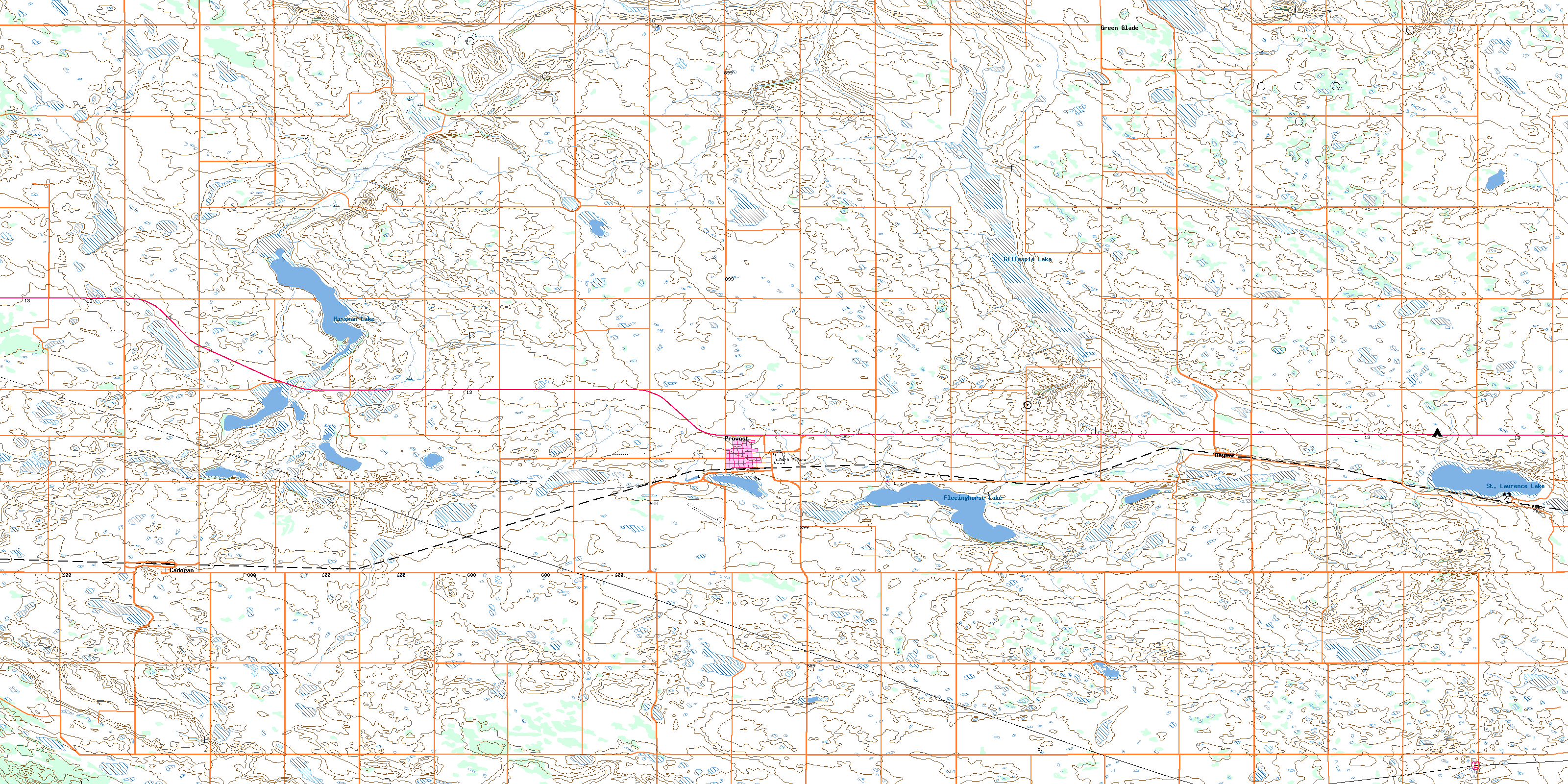
Provost Topo Map Online
Download Free Topo Map Sheet 073D08 at 1:50,000 scale
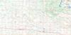
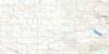
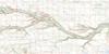
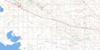
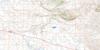
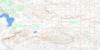
073D08 Provost Topo Map
To view this map, mouse over the map preview on the right.
You can also download this topo map for free:
073D08 Provost high-resolution topo map image.
Maps for the Provost topo map sheet 073D08 at 1:50,000 scale are also available in these versions:
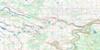
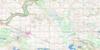
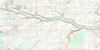
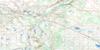
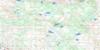
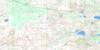
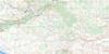
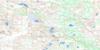
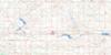
Provost Surrounding Area Topo Maps
 |
 |
 |
 |
 |
 |
 |
 |
 |
 |
 |
 |
 |
 |
 |
 |
© Department of Natural Resources Canada. All rights reserved.
Provost Gazetteer
The following places can be found on topographic map sheet 073D08 Provost:
Provost Topo Map: Lakes
Fleeinghorse LakeGillespie Lake
Hansman Lake
St. Lawrence Lake
Provost Topo Map: Major municipal/district area - major agglomerations
Municipal District of Provost No. 52Provost Topo Map: Other municipal/district area - miscellaneous
Eye Hill No. 382Senlac No. 411
Provost Topo Map: Provinces
AlbertaProvost Topo Map: Towns
ProvostProvost Topo Map: Unincorporated areas
CadoganGreen Glade
Hayter
© Department of Natural Resources Canada. All rights reserved.
