Irma Topo Map Online
Download Free Topo Map Sheet 073D14 at 1:50,000 scale
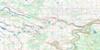
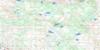
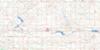
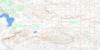
073D14 Irma Topo Map
To view this map, mouse over the map preview on the right.
You can also download this topo map for free:
073D14 Irma high-resolution topo map image.
Maps for the Irma topo map sheet 073D14 at 1:50,000 scale are also available in these versions:
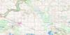
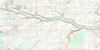
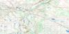
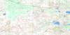
Irma Surrounding Area Topo Maps
 |
 |
 |
 |
 |
 |
 |
 |
 |
 |
 |
 |
 |
 |
 |
 |
© Department of Natural Resources Canada. All rights reserved.
Irma Gazetteer
The following places can be found on topographic map sheet 073D14 Irma:
Irma Topo Map: Lakes
Betty LakeBuffalo Lake
Delusion Lakes
Grassy Lake
Hart Lake
Peninsula Lake
Sandy Lake
Vernon Lake
Irma Topo Map: Military areas
Champ de manoeuvre régional WainwrightWainwright Regional Training Area
Irma Topo Map: Mountains
Armstrong HillArty Hill
Coyote Hill
Hart Hill
Tower Hill
Wolf Ears Hill
Irma Topo Map: Major municipal/district area - major agglomerations
Beaver CountyCounty of Beaver No. 9
County of Flagstaff No. 29
Flagstaff County
Municipal District of Wainwright No. 61
Irma Topo Map: Rivers
Battle RiverGrattan Creek
Iron Creek
Irma Topo Map: River features
Hanson FordSaville Ford
Irma Topo Map: Road features
Garry TrailHardisty Trail
Irma Topo Map: Springs
Armstrong SpringIrma Topo Map: Unincorporated areas
Clark ManorHawkins
Jarrow
Rocky Ford
Saville Farm
Irma Topo Map: Villages
Irma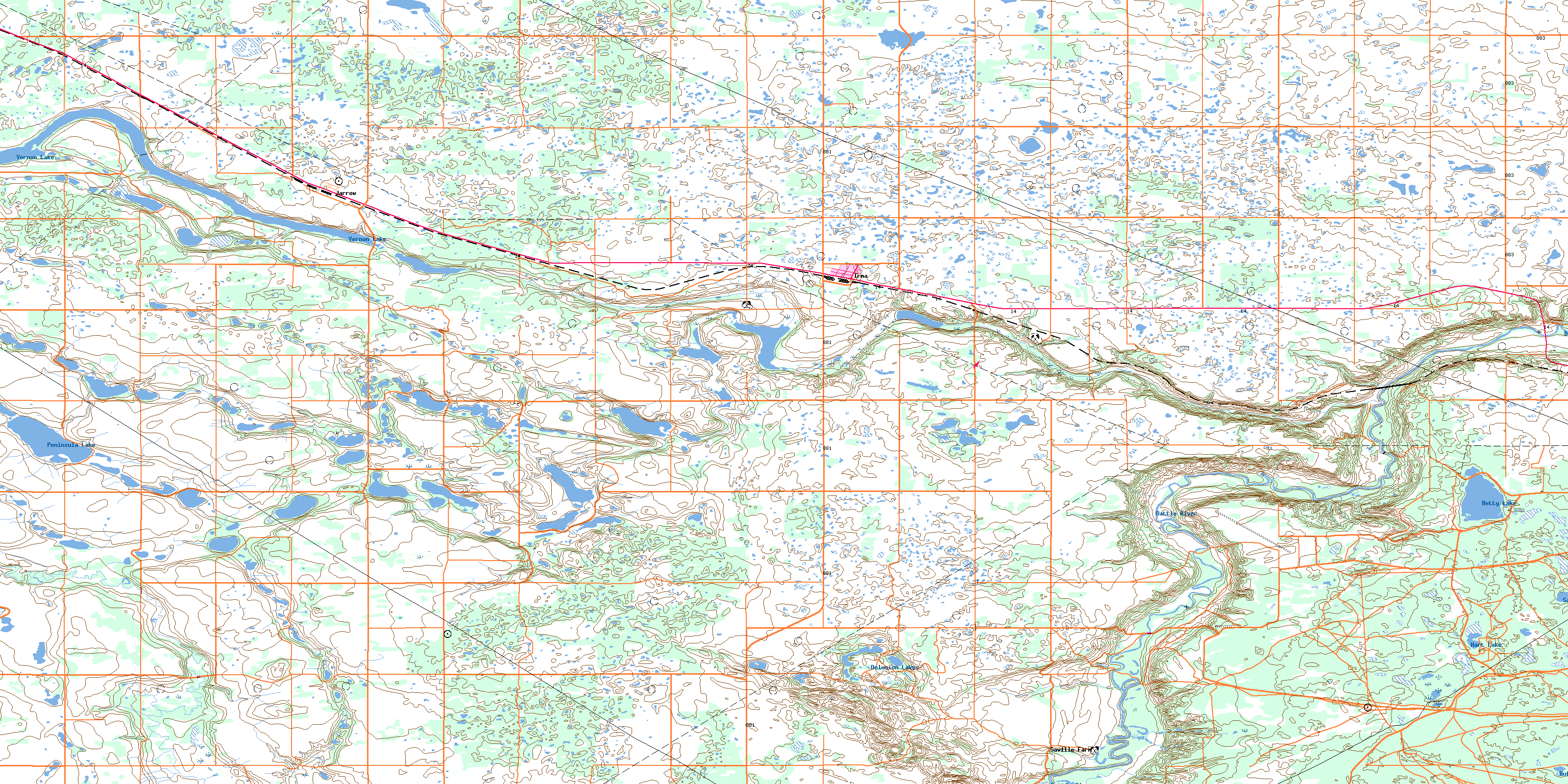
© Department of Natural Resources Canada. All rights reserved.
