Hardisty Topo Map Online
Download Free Topo Map Sheet 073D11 at 1:50,000 scale
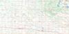
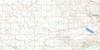
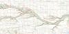
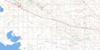
073D11 Hardisty Topo Map
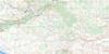
To view this map, mouse over the map preview on the right.
You can also download this topo map for free:
073D11 Hardisty high-resolution topo map image.
Maps for the Hardisty topo map sheet 073D11 at 1:50,000 scale are also available in these versions:
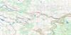
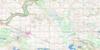
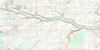
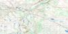
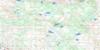
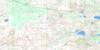
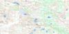
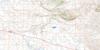
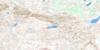
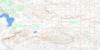
Hardisty Surrounding Area Topo Maps
 |
 |
 |
 |
 |
 |
 |
 |
 |
 |
 |
 |
 |
 |
 |
 |
© Department of Natural Resources Canada. All rights reserved.
Hardisty Gazetteer
The following places can be found on topographic map sheet 073D11 Hardisty:
Hardisty Topo Map: Lakes
Fish LakeFlag Lake
Grass Lake
Hughenden Lake
Wilkins Lake
Hardisty Topo Map: Military areas
Champ de manoeuvre régional WainwrightWainwright Regional Training Area
Hardisty Topo Map: Mountains
Archie HillArty Hill
Battle Butte
Bone Pile Butte
Buffalo Hill
Bushy Head Hill
Chap Hill
Crude Hill
Curly Hill
Elk Butte
Flagstaff Hill
Gun Hill
Horseshoe Hill
Rom Hill
Sapper Hill
Steep Hill
Survey Hill
Vimy Ridge
Well Hill
Hardisty Topo Map: Major municipal/district area - major agglomerations
County of Flagstaff No. 29Flagstaff County
Municipal District of Provost No. 52
Municipal District of Wainwright No. 61
Hardisty Topo Map: Plains
Centurion FieldHardisty Topo Map: Rivers
Battle RiverIron Creek
Hardisty Topo Map: River features
McDonald FordHardisty Topo Map: Road features
Alexander GateHardisty Topo Map: Springs
Camp SpringChannel Spring
Hardisty Topo Map: Towns
HardistyHardisty Topo Map: Unincorporated areas
Bushy Head CornerNilrem
Rosyth
Hardisty Topo Map: Villages
Amisk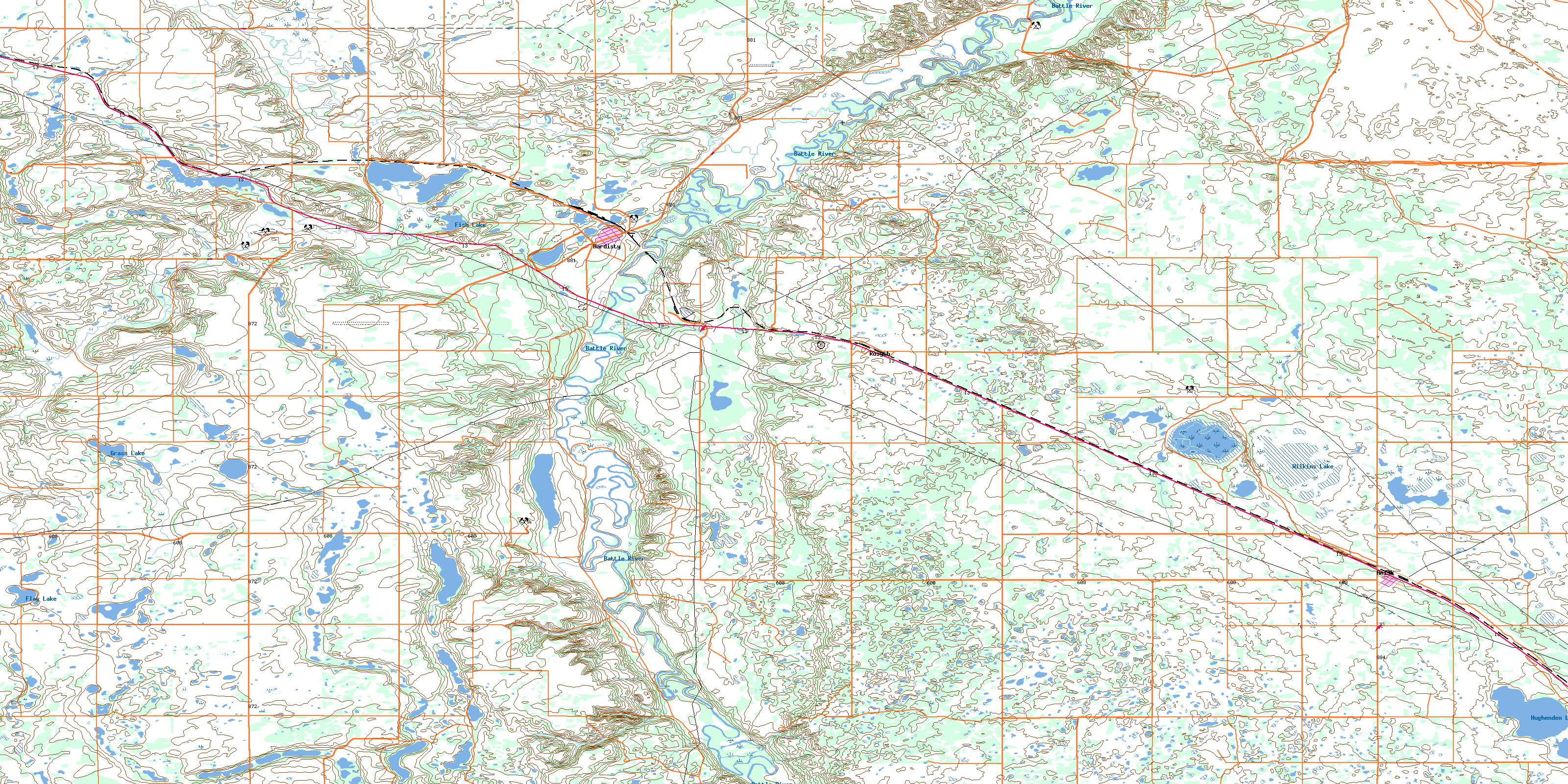
© Department of Natural Resources Canada. All rights reserved.
