Trochu Topo Map Online
Download Free Topo Map Sheet 082P14 at 1:50,000 scale
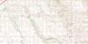
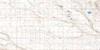
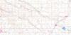
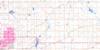
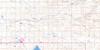
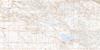
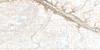
082P14 Trochu Topo Map
To view this map, mouse over the map preview on the right.
You can also download this topo map for free:
082P14 Trochu high-resolution topo map image.
Maps for the Trochu topo map sheet 082P14 at 1:50,000 scale are also available in these versions:
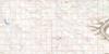
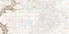
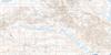
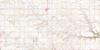
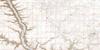
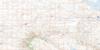
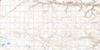
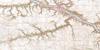
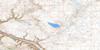
Trochu Surrounding Area Topo Maps
 |
 |
 |
 |
 |
 |
 |
 |
 |
 |
 |
 |
 |
 |
 |
 |
© Department of Natural Resources Canada. All rights reserved.
Trochu Gazetteer
The following places can be found on topographic map sheet 082P14 Trochu:
Trochu Topo Map: Mountains
Three HillsTrochu Topo Map: Major municipal/district area - major agglomerations
County of Red Deer No. 23Municipal District of Kneehill No. 48
Municipal District of Starland No. 47
Red Deer County
Starland County
Trochu Topo Map: Rivers
Ghostpine CreekGhostpine Creek
Red Deer River
Threehills Creek
Trochu Topo Map: Towns
TrochuTrochu Topo Map: Unincorporated areas
CurlewEquity
Highland Ranch
Huxley
Perbeck
Tolman
Trochu Topo Map: Villages
Elnora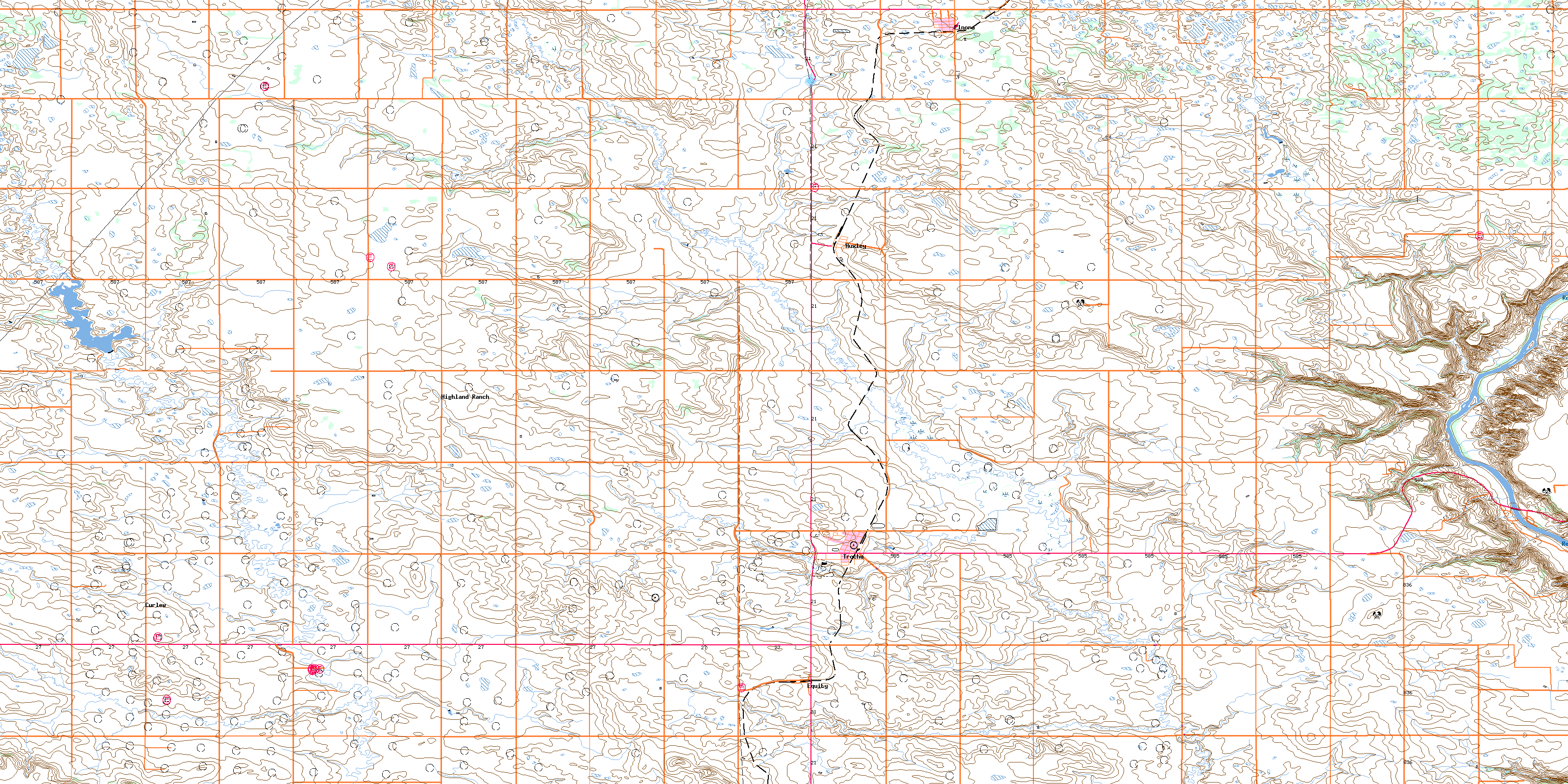
© Department of Natural Resources Canada. All rights reserved.
