Farrell Lake Topo Map Online
Download Free Topo Map Sheet 082P16 at 1:50,000 scale
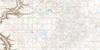
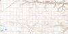
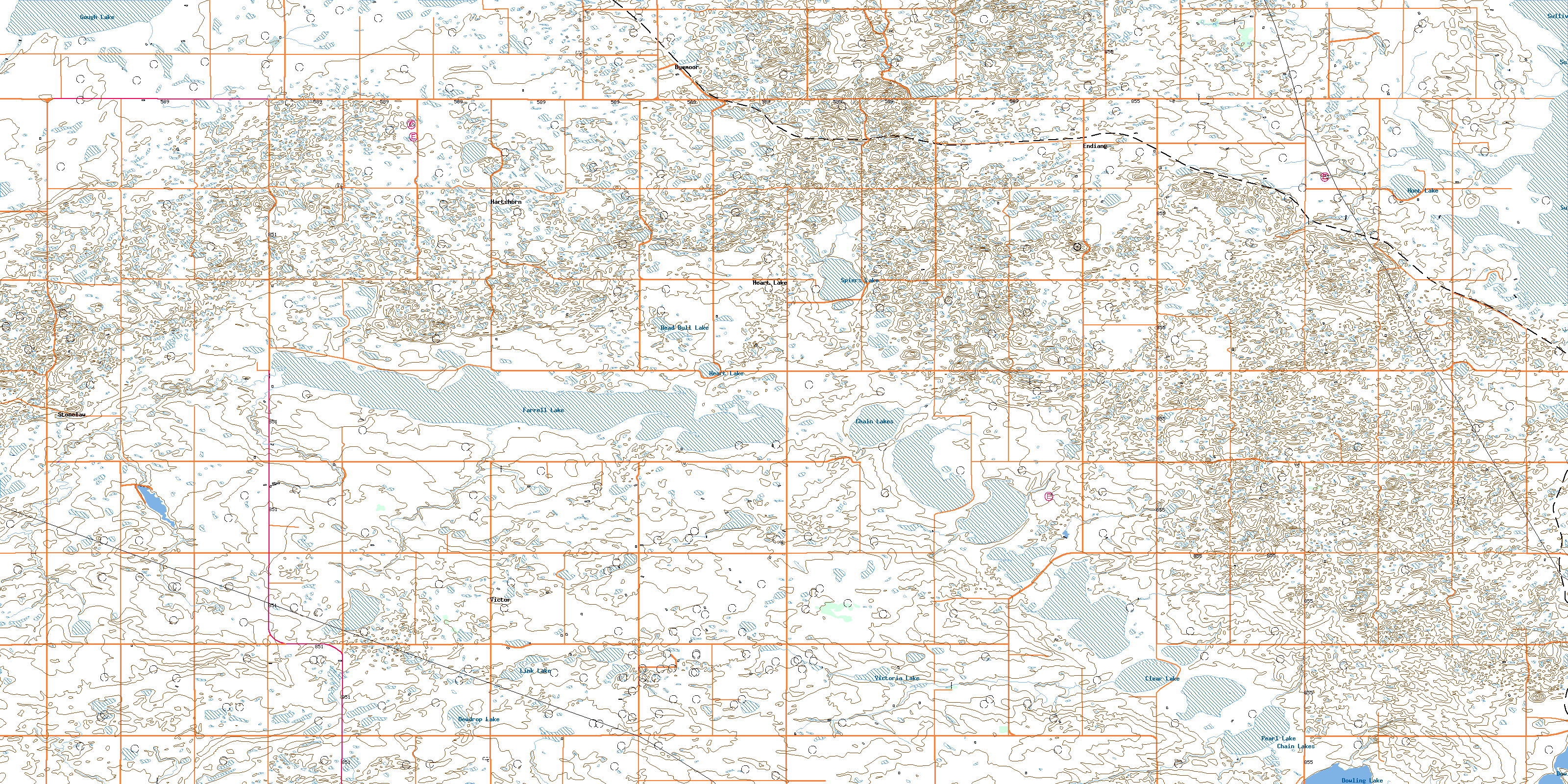
082P16 Farrell Lake Topo Map
To view this map, mouse over the map preview on the right.
You can also download this topo map for free:
082P16 Farrell Lake high-resolution topo map image.
Maps for the Farrell Lake topo map sheet 082P16 at 1:50,000 scale are also available in these versions:
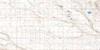
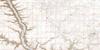
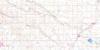
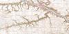
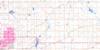
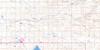
Farrell Lake Surrounding Area Topo Maps
 |
 |
 |
 |
 |
 |
 |
 |
 |
 |
 |
 |
 |
 |
 |
 |
© Department of Natural Resources Canada. All rights reserved.
Farrell Lake Gazetteer
The following places can be found on topographic map sheet 082P16 Farrell Lake:
Farrell Lake Topo Map: Lakes
Chain LakesClear Lake
Dead Bull Lake
Dewdrop Lake
Dowling Lake
Farrell Lake
Gough Lake
Heart Lake
Hunt Lake
Link Lake
Pearl Lake
Spiers Lake
Sullivan Lake
Victoria Lake
Farrell Lake Topo Map: Mountains
Badger HillFlag Hill
Waters Hill
Wolf Hill
Farrell Lake Topo Map: Major municipal/district area - major agglomerations
County of Paintearth No. 18County of Stettler No. 6
Municipal District of Starland No. 47
Starland County
Farrell Lake Topo Map: Other municipal/district area - miscellaneous
Special Area No. 2Farrell Lake Topo Map: Conservation areas
Réserve nationale de faune du Lac SpiersSpiers Lake National Wildlife Area
Farrell Lake Topo Map: Rivers
Farrell CreekFarrell Lake Topo Map: Unincorporated areas
ByemoorDowling Lake
Endiang
Hartshorn
Heart Lake
Stonelaw
Victor
© Department of Natural Resources Canada. All rights reserved.
