Dalroy Topo Map Online
Download Free Topo Map Sheet 082P04 at 1:50,000 scale
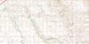
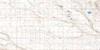
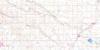
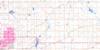
082P04 Dalroy Topo Map
To view this map, mouse over the map preview on the right.
You can also download this topo map for free:
082P04 Dalroy high-resolution topo map image.
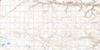
Maps for the Dalroy topo map sheet 082P04 at 1:50,000 scale are also available in these versions:
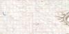
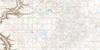
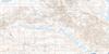
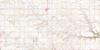
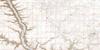
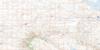
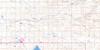
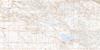
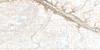
Dalroy Surrounding Area Topo Maps
 |
 |
 |
 |
 |
 |
 |
 |
 |
 |
 |
 |
 |
 |
 |
 |
© Department of Natural Resources Canada. All rights reserved.
Dalroy Gazetteer
The following places can be found on topographic map sheet 082P04 Dalroy:
Dalroy Topo Map: City
CalgaryDalroy Topo Map: Lakes
Benaman SloughBruce Lake
Chestermere Lake
McDonald Lake
Twin Lakes
Weed Lake
Dalroy Topo Map: Mountains
The Sharp HillDalroy Topo Map: Major municipal/district area - major agglomerations
Municipal District of Rocky View No. 44Rocky View County
Wheatland County
Dalroy Topo Map: Conservation areas
Inglewood Bird SanctuaryRefuge d'oiseaux d'Inglewood
Dalroy Topo Map: Rivers
Nose CreekServiceberry Creek
Dalroy Topo Map: Towns
ChestermereDalroy Topo Map: Unincorporated areas
AbbeydaleAlbert Park
Applewood Park
Barlow
Barlow Junction
Castleridge
Cheadle
Conrich
Coral Springs
Dalroy
Delacour
Dover
Erin Woods
Falconridge
Forest Heights
Forest Lawn
Forest Lawn
Hubalta
Inverlake
Janet
Kathryn
Kathyrn
Keoma
Lyalta
Marlborough
Marlborough Park
Martindale
Monterey Park
Norfolk
Penbrooke Meadows
Pineridge
Rocky View
Rundle
Saddle Ridge
Sarcee Junction
Southview
Taradale
Temple
Whitehorn
Dalroy Topo Map: Villages
Chestermere Lake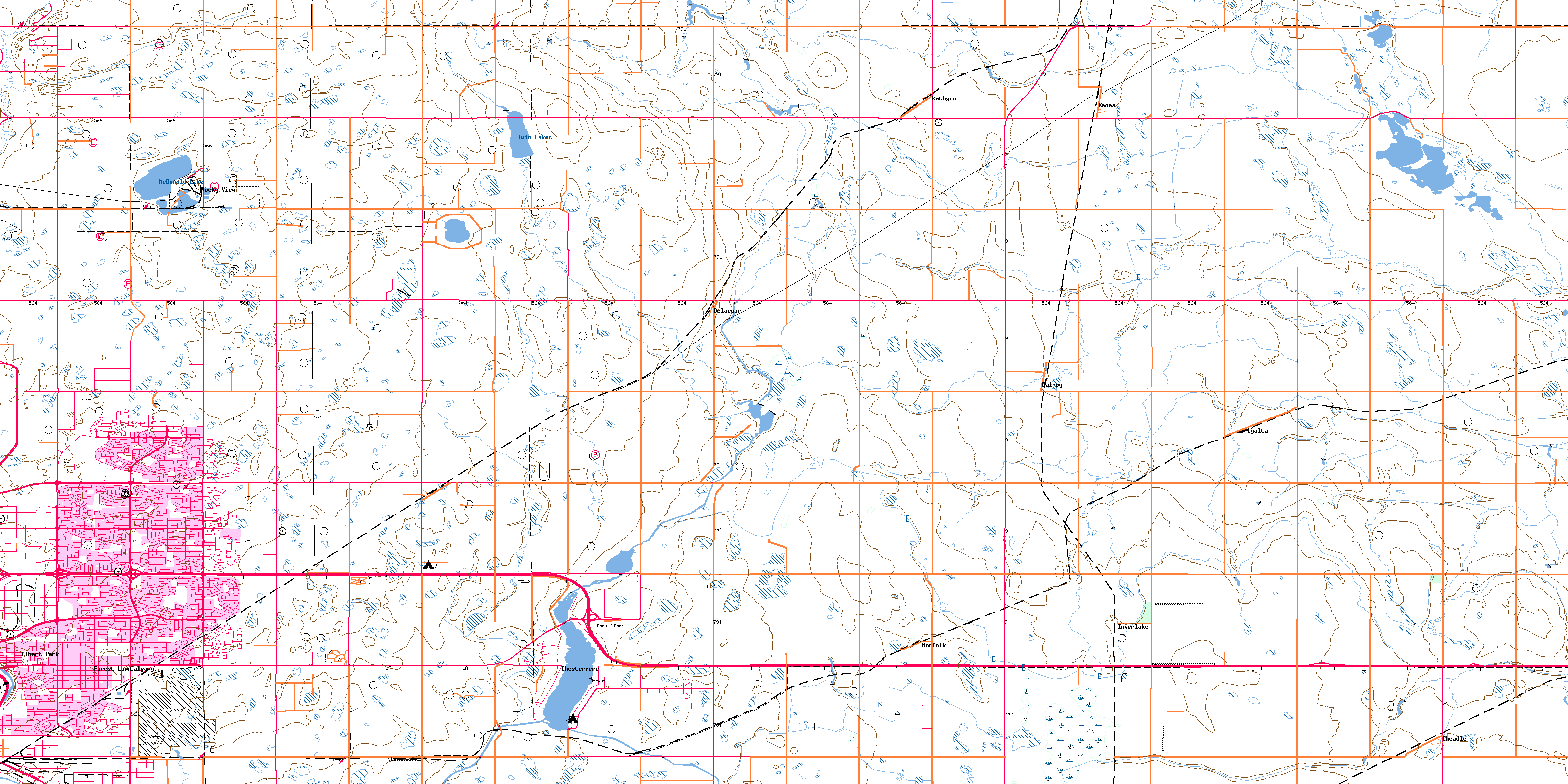
© Department of Natural Resources Canada. All rights reserved.
