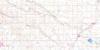
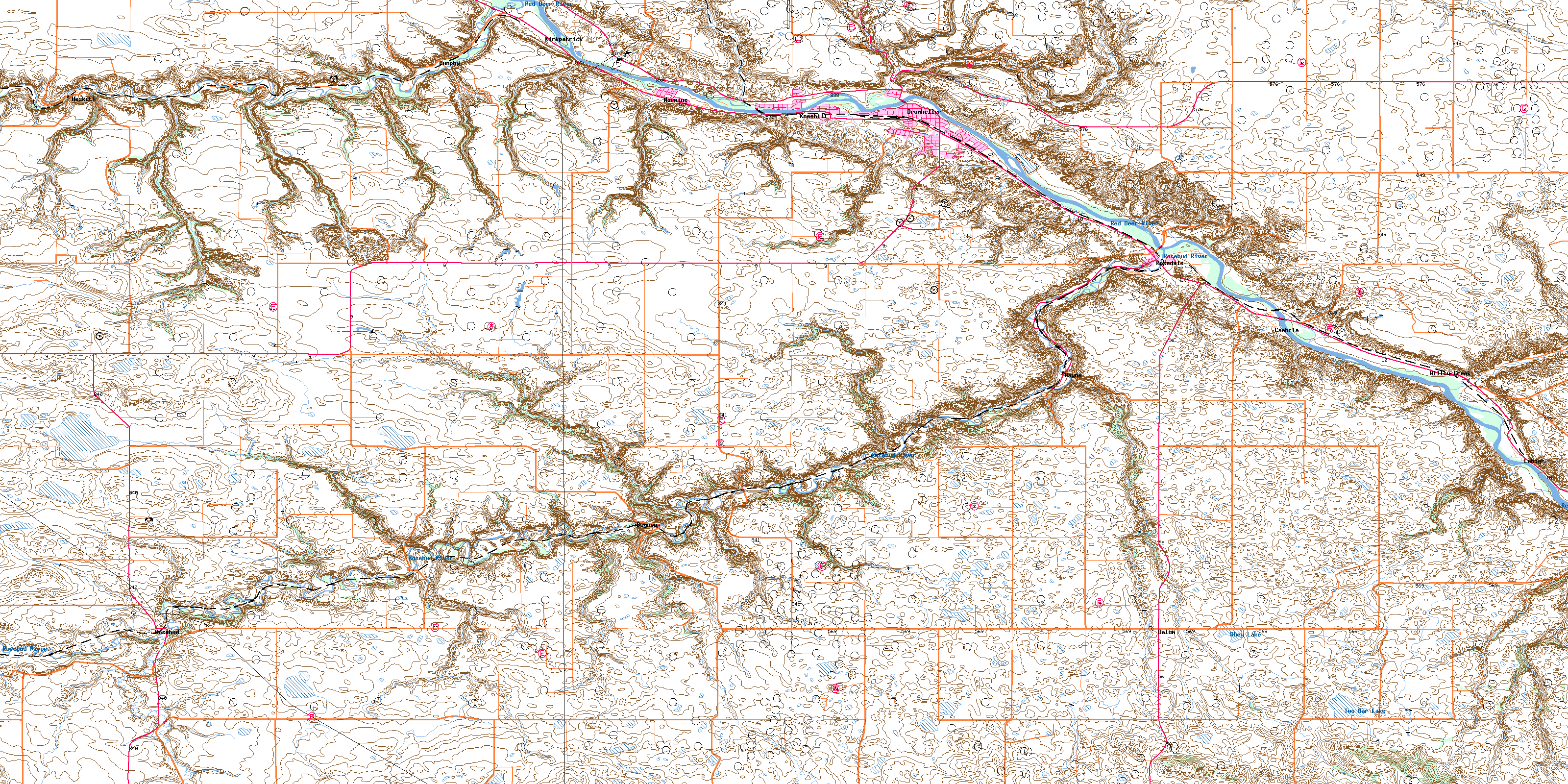
Drumheller Topo Map Online
Download Free Topo Map Sheet 082P07 at 1:50,000 scale
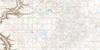
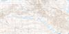
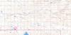
082P07 Drumheller Topo Map
To view this map, mouse over the map preview on the right.
You can also download this topo map for free:
082P07 Drumheller high-resolution topo map image.
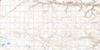
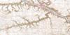
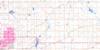
Maps for the Drumheller topo map sheet 082P07 at 1:50,000 scale are also available in these versions:
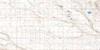
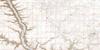
Drumheller Surrounding Area Topo Maps
 |
 |
 |
 |
 |
 |
 |
 |
 |
 |
 |
 |
 |
 |
 |
 |
© Department of Natural Resources Canada. All rights reserved.
Drumheller Gazetteer
The following places can be found on topographic map sheet 082P07 Drumheller:
Drumheller Topo Map: Lakes
Beveridge LakeRobinson Lake
Two Bar Lake
Whey Lake
Drumheller Topo Map: Mountains
Flagpole HillMonarch Hill
Raymond Hill
Drumheller Topo Map: Major municipal/district area - major agglomerations
Municipal District of Badlands No. 7Municipal District of Kneehill No. 48
Municipal District of Starland No. 47
Starland County
Wheatland County
Drumheller Topo Map: Other municipal/district area - miscellaneous
Special Area No. 2Drumheller Topo Map: Conservation areas
Midland Provincial ParkDrumheller Topo Map: Rivers
Fox CreekKneehill Creek
Kneehills Creek
Michichi Creek
Red Deer River
Rosebud Creek
Rosebud River
Severn Creek
Willow Creek
Drumheller Topo Map: Towns
DrumhellerDrumheller Topo Map: Unincorporated areas
AerialBeynon
Cambria
Dalum
Dunphy
Eladesor
Gatine
Helmer
Hesketh
Kirkpatrick
Kneehill
Lehigh
Midlandvale
Nacmine
Newcastle Mine
Rosebud
Rosebud Creek
Rosedale
Rosedale Station
Taylor
Verdant Valley
Wayne
Willow Creek
Drumheller Topo Map: Valleys
Home CouleeHorseshoe Canyon
© Department of Natural Resources Canada. All rights reserved.
