Shawnigan Lake Topo Map Online
Download Free Topo Map Sheet 092B12 at 1:50,000 scale
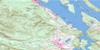
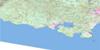
092B12 Shawnigan Lake Topo Map
To view this map, mouse over the map preview on the right.
You can also download this topo map for free:
092B12 Shawnigan Lake high-resolution topo map image.
Maps for the Shawnigan Lake topo map sheet 092B12 at 1:50,000 scale are also available in these versions:
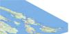
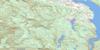
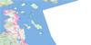
Shawnigan Lake Surrounding Area Topo Maps
 |
 |
||
 |
 |
||
 |
 |
||
© Department of Natural Resources Canada. All rights reserved.
Shawnigan Lake Gazetteer
The following places can be found on topographic map sheet 092B12 Shawnigan Lake:
Shawnigan Lake Topo Map: Bays
Camp BightCowichan Bay
Finlayson Arm
McKenzie Bight
Mill Bay
Misery Bay
Quarry Bay
Saanich Inlet
West Arm
Shawnigan Lake Topo Map: Capes
Cherry PointChristmas Point
Elbow Point
Hatch Point
Lenfesty Point
McCurdy Point
McPhail Point
Mitchell Point
Musgrave Point
Saanich Peninsula
Separation Point
Sheppard Point
Verdier Point
Whisky Point
Shawnigan Lake Topo Map: Channels
Sansum NarrowsSatellite Channel
Shawnigan Lake Topo Map: District municipality
HighlandsShawnigan Lake Topo Map: Falls
West Leech FallsShawnigan Lake Topo Map: Geographical areas
Helmcken Land DistrictMalahat Land District
Shawnigan Land District
Shawnigan Lake Topo Map: Indian Reserves
Cowichan Indian Reserve 1Est-patrolas Indian Reserve 4
Hatch Point Indian Reserve 12
Kil-pah-las Indian Reserve 3
Malahat Indian Reserve 11
Réserve indienne Cowichan 1
Réserve indienne Est-patrolas 4
Réserve indienne Hatch Point 12
Réserve indienne Kil-pah-las 3
Réserve indienne Malahat 11
Réserve indienne Theik 2
Theik Indian Reserve 2
Shawnigan Lake Topo Map: Islands
Île de VancouverSaltspring Island
Sawluctus Island
Vancouver Island
Shawnigan Lake Topo Map: Lakes
Bear Creek ReservoirBegbie Lake
Butchart Lake
Council Lake
Devereux Lake
Diversion Reservoir
Dougan Lake
Goldstream Lake
Grant Lake
Horton Lake
Hutchinson Lake
Jarvis Lake
Keating Lake
Lois Lake
Lubbe Lake
Macdonald Lake
Mitchell Lake
Old Wolf Lake
Oliphant Lake
Patrolas Lake
Rogers Lake
Second Lake
Shawnigan Lake
Silver Mine Lakes
Sooke Lake
Spectacle Lake
Tadjiss Lake
Third Lake
Weeks Lake
Wild Deer Lake
Wrigglesworth Lake
Shawnigan Lake Topo Map: Military areas
Champ de tir Anse de SaanichSaanich Inlet Range
Shawnigan Lake Topo Map: Mountains
Cobble HillEagle Heights
Gowlland Range
Holmes Peak
Jocelyn Hill
Koksilah Ridge
Lone Tree Hill
Malahat Ridge
Mount Healey
Mount Jeffrey
Mount Lazar
Mount Todd
Mount Wood
Old Baldy Mountain
Padur Ridge
Seymour Range
Seymour Ridge
Sheepshanks Hill
Sooke Hills
Survey Mountain
Tunnel Hill
Valentine Mountain
Vancouver Island Mountains
Vancouver Island Ranges
Warwick Range
Waterloo Mountain
Shawnigan Lake Topo Map: Major municipal/district area - major agglomerations
Capital Regional DistrictCowichan Valley Regional District
Shawnigan Lake Topo Map: Conservation areas
Bamberton ParkBright Angel Park
Gowlland Tod Park
Koksilah River Park
Memory Island Park
Shawnigan Lake Park
Spectacle Lake Park
West Shawnigan Lake Park
Shawnigan Lake Topo Map: Rivers
Arbutus CreekBamber Creek
Bear Creek
Bear Creek
Bird Creek
Boucicault Creek
Camsusa Creek
Clapp Creek
Colpman Creek
Council Creek
Cragg Creek
Fellows Creek
Floodwood Creek
Garnett Creek
Glenora Creek
Handysen Creek
Hazlitt Creek
Heather Bank Brook
Hollings Creek
Holt Creek
Humes Creek
Irving Creek
Johns Creek
Jordan River
Judge Creek
Kelvin Creek
Koksilah River
Leech River
Macdonald Creek
Malahat Creek
Manley Creek
McGee Creek
Mill Stream
Neel Creek
Niagara Creek
Patrolas Creek
Pease Creek
Rithet Creek
San Juan River
Shawnigan Creek
Sooke River
Spectacle Creek
Tripp Creek
Van Horne Creek
Walker Creek
West Leech River
Wheelbarrow Creek
Wild Deer Creek
Williamson Creek
Shawnigan Lake Topo Map: River features
Squally ReachShawnigan Lake Topo Map: Shoals
Boatswain BankMusgrave Rock
Patey Rock
Repulse Rock
Tanner Rock
Tozier Rock
Shawnigan Lake Topo Map: Unincorporated areas
BambertonCliffside
Cobble Hill
Cowichan Bay
Cowichan Bay
Cowichan Station
Fairbridge
Hillbank
Kapoor
Kaptara
Kinsol
Lakend
Malahat
Malahat
Mill Bay
Musgrave
Musgrave Landing
Shawnigan
Shawnigan Beach
Shawnigan Lake
Strathcona Lodge
Wilby
Shawnigan Lake Topo Map: Valleys
Deception GulchMartins Gulch
Shawnigan Lake Topo Map: Low vegetation
Jordan Meadows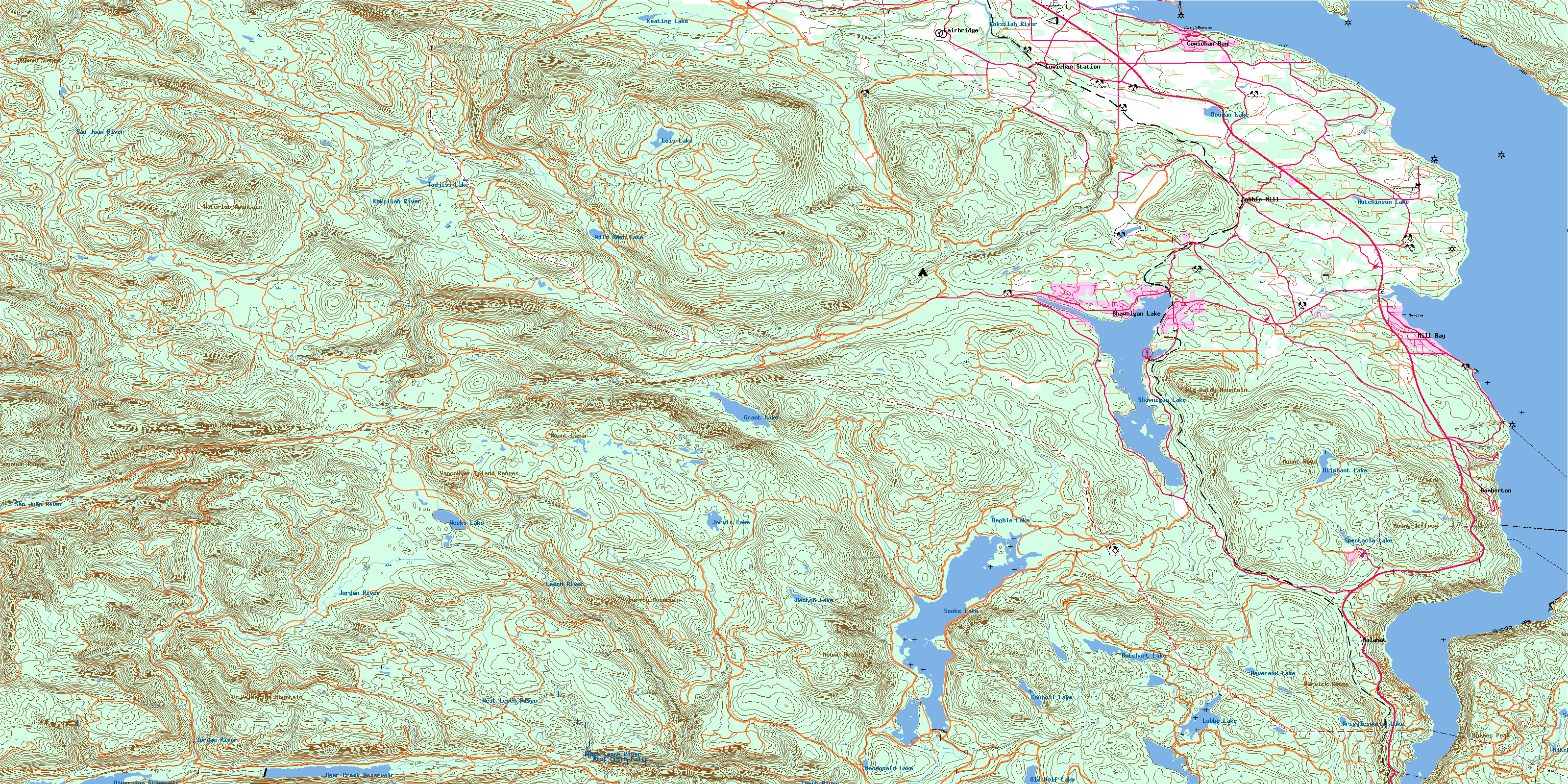
© Department of Natural Resources Canada. All rights reserved.
