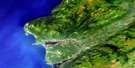
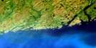
La Poile Satellite Image Map
Download Free Aerial Photo 011O09 at 1:50,000 scale
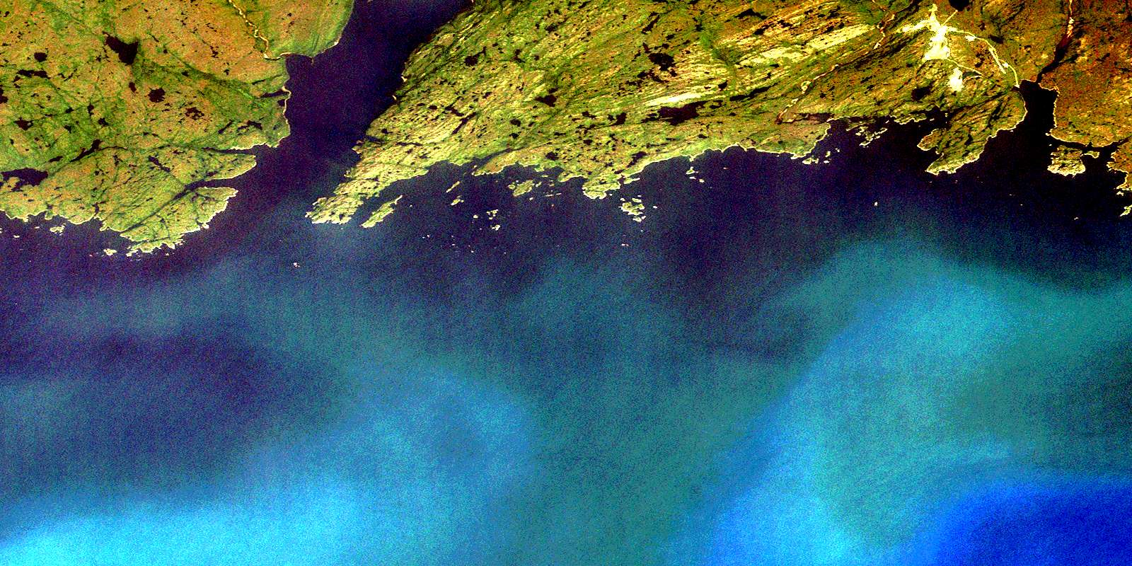
La Poile Satellite Imagery
To view this satellite map, mouse over the air photo on the right.
You can also download this satellite image map for free:
011O09 La Poile high-resolution satellite image map.
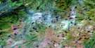
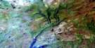
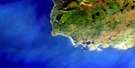
Maps for the La Poile aerial map sheet 011O09 at 1:50,000 scale are also available in these versions:
La Poile Surrounding Area Aerial Photo Maps
 |
 |
 |
|
 |
 |
 |
|
© Department of Natural Resources Canada. All rights reserved.
La Poile Gazetteer
The following places can be found on satellite image map 011O09 La Poile:
La Poile Satellite Image: Bays
Betty CoveBevan Cove
Broad Cove
Brown Cove
Cinq Cerf Bay
Couteau Bay
Couteau Cove
Couteau Harbour
Culotte Cove
Fish Head Cove
French Cove
Frenchman Cove
Gallyboy Harbour
Golfe du Saint-Laurent
Grand Bruit Harbour
Grave Cove
Gulf of St. Lawrence
Indian Harbour
La Plante Harbour
La Poile Bay
La Poile Harbour
Little Bay
Little Couteau Bay
Little La Poile
Little La Poile Bay
Little Rôti Bay
Northeast Arm
Outside Cove
Pumbly Cove
Rôti Bay
Sandy Cove
Seal Cove
Seal Cove
The Barasway
The Barasway
The Basin
Turnip Cove
Unicorn Cove
Wild Cove
Wild Cove
Wild Cove
La Poile Satellite Image: Beaches
Cow BeachLa Poile Satellite Image: Capes
Baggs HeadBarasway Point
Beacon Point
Betty Head
Black George Head
Blowhole
Christmas Head
Couteau Head
Cow Head
Crafty Head
Deepwater Point
Devil Head
Duck Island Point
East Diver Head
Eastern Point
Friar Head
Gallyboy Head
Grave Cove Point
Horses Head
Ironbound Head
Kennedy Point
Lawrence Point
Long Point
Long Point
Misery Point
North Bay Point
Otters Rub
Pumbly Cove Point
Rôti Point
Sandbank Point
Sandbank Point
Shag Roost Point
Shoal Point
Tooth Head
West Point
Western Head
Wild Cove Head
Wild Cove Point
Woody Point
La Poile Satellite Image: Channels
PushthroughLa Poile Satellite Image: Islands
Barasway IslandBass Island
Blackhead Island
Boat Passage Island
Bung Island
Captain Island
Cinq Cerf Islands
Duck Island
Duck Island
Duck Island
Duck Island
Flat Island
Goose Island
Grand Bruit Islands
Green Island
Grip Island
Gull Island
Gull Island
Harbour Island
Harbour Island
Ireland Island
Jacques Island
Jenny Buffet Island
Jones Island
Offer Island
Organ Island
Picaroon Island
Pig Island
Pigeon Island
Pigeon Island
Pigeon Island
Pools Island
Round Island
Salmon Net Island
Sam Island
Sandbank Island
Sandbanks Island
Shag Island
Shag Island
Shot Bag Island
Smoky Island
Southeast Island
Spruce Island
Three Islands
Tinker Island
Vineyard Island
Whale Island
White Island
Woody Island
La Poile Satellite Image: Lakes
Barasway PondBettys Pond
Bolo Pond
Flint Cliff Pond
Grand Bruit Gull Pond
Guiders Pond
Gull Pond
Hawks Nest Pond
Inside Gull Pond
Man of War Pond
Northwest Brook Pond
Old Man Pond
Outside Gull Pond
Pine Pond
Sandy Cove Gull Pond
La Poile Satellite Image: Mountains
Dinner Box HillHighlands of Grand Bruit
Long Range Mountains
Old Man Hill
Whittle Hill
Withy Gulch Hill
La Poile Satellite Image: Natural resources sites
Hope Brook Gold MineLa Poile Satellite Image: Rivers
Bakers BrookBarasway Brook
Black Duck Brook
Broad Cove Brook
Cinq Cerf Brook
Couteau Brook
Farmers Brook
Georges Brook
Hope Brook
Phillips Brook
Rôti Brook
La Poile Satellite Image: Shoals
Anchor ShoalBad Neighbour
Ben Shoal
Bennett Rock
Big Shoal
Big Sunker
Bight Rock
Bill Bank
Billy Anderson Shoal
Black Rock
Black Rock
Black Rock
Bob Rock
Bob Rock
Capelin Rocks
Chain Shoal
Chance Rock
Chimney Shoal
Cloven Rock
Colombier Shoal
Colombier Shoal
Connor Rock
Copper Duck Rock
Cork Rock
Couteau Colombier
Couteau Flat Rocks
Cox Rock
Diver Reef
Diver Rock
Eastern Bank
Eastern Rocks
Fish Rock
Gob Rock
Grand Bruit Colombier
Griffin Rock
Gull Rock
Gull Rocks
Halibut Ledge
Harbour Rock
Harbour Rock
Harpoon Shoal
Harry Lawrence Shoal
Horses Head
Indian Island Shoal
Inside Big Shoal
Inside Shag Island Shoal
Inside Southwest Shoal
Jim Hodder Shoal
Jim Rocks
Jim Shoal
Lance Spot
Little Colombier Shoal
Lookout
Man Rock
Mid Southwest
Middle Shag Island Bank
Myles Rock
Nail Shoal
Naked Man
Never-be-good
Neverfail
Nipper Shoal
Norman Rock
Offer Anchor
Offer Southwest
Old Man Shoal
Pancake Rock
Picaud Rock
Pike Shoal
Poppy Rock
Rose Blanche Bank
Rôti Colombier
Rôti Rock
Seal Rocks
Seal Rocks
Shoal Ground
South West Shoal
Southeast Rock
Studdles Shoal
Temple Rock
The Bar
The Pinnacle
The Smoker
Tinker Island Shoal
Tinker Rock
Tinker Rocks
Tinker Sunkers
Tom Cod Rock
Tooth Rock
Whaleback
White Ground
White Rock
La Poile Satellite Image: Unincorporated areas
Grand BruitIndian Harbour
La Poile
Otter's Point
West Point
© Department of Natural Resources Canada. All rights reserved.
