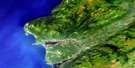
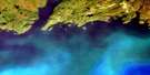
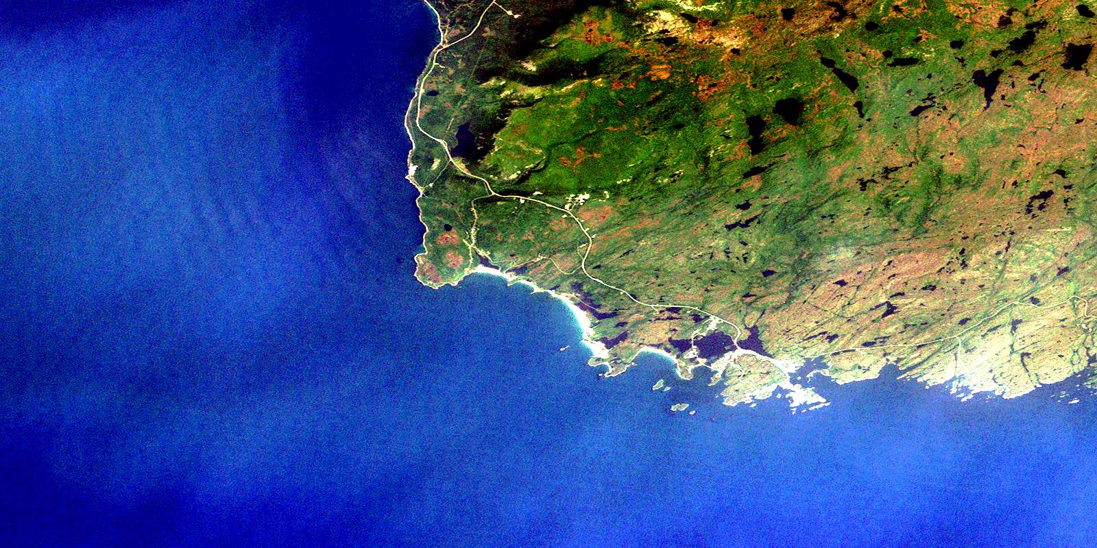
Port Aux Basques Satellite Image Map
Download Free Aerial Photo 011O11 at 1:50,000 scale
Port Aux Basques Satellite Imagery
To view this satellite map, mouse over the air photo on the right.
You can also download this satellite image map for free:
011O11 Port Aux Basques high-resolution satellite image map.
Maps for the Port Aux Basques aerial map sheet 011O11 at 1:50,000 scale are also available in these versions:
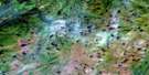
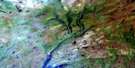
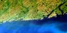
Port Aux Basques Surrounding Area Aerial Photo Maps
 |
 |
 |
|
 |
 |
 |
|
© Department of Natural Resources Canada. All rights reserved.
Port Aux Basques Gazetteer
The following places can be found on satellite image map 011O11 Port Aux Basques:
Port Aux Basques Satellite Image: Bays
Bear CoveBig Millard Cove
Butter Harbour
Cape Ray Cove
Fox Roost Harbour
Golfe du Saint-Laurent
Grand Bay
Gulf of St. Lawrence
Kelby Cove
Little Bay
Margaree Harbour
Motherlake Bay
Northwest Arm
Port aux Basques
Push Through Cove
Ringbolt Cove
Rocky Barachois Bight
Sandy Cove
Shark Cove
Sheaves Cove
Small Millard Cove
Snooks Harbour
Southeast Arm
Squid Hole
Port Aux Basques Satellite Image: Beaches
Hells BeachPort Aux Basques Satellite Image: Capes
Black Rock PointCape Ray
Channel Head
Dead Head
Dingwall Point
Granby Point
Graveyard Point
Jerret Point
Little Bay Head
Little Point
Margaree Point
Point Pleasant
Pointe Enragée
Red Rock Point
Scotts Point
Shoal Point
Shoal Point
Shoal Point
Southeast Point
Southwest Point
White Head
Windsor Point
Port Aux Basques Satellite Image: Channels
Cabot StraitChannel Gut
Détroit de Cabot
Middle Passage
Push Through
Pushthrough
Western Passage
Port Aux Basques Satellite Image: Islands
Bard IslandBeach Islands
Big Island
Big Woody Island
Bush Island
Duck Island
Durands Island
Durant Island
Flat Islands
Fords Island
Fox Goose Island
Frenchman Island
Garden Islands
Green Island
John Ford Island
Little Grave Island
Lobster Claw Island
Mackerelbird Island
Money Island
Mouse Island
Pig Island
Pig Island
Pigeon Island
Pikes (Gallyboy) Island
Pikes Island
Rat Island
Shag Island
Small Brook Island
Snooks Island
Southeast Island
Squid Island
Tinker Island
Vardys Island
Western Island
White Island
Woody Island
Port Aux Basques Satellite Image: Lakes
Big BarachoisBig Pond
Billys Pond
Cape Barachois
Dennis Pond
First Pond
Little Barachois
Rocky Barachois
Salt Pond
Salt Water Pond
Second Pond
Port Aux Basques Satellite Image: Mountains
Cook StoneFlagstaff Hill
Long Range Mountains
Sugar Loaf
Table Mountain
The Tolt
Port Aux Basques Satellite Image: Conservation areas
Big Barasway Wild Life ReserveCheeseman (Port aux Basques) Provincial Park
Cheeseman Provincial Park
Newfoundland T'Railway Provincial Park
Port Aux Basques Satellite Image: Rivers
Barachois RiverBear Cove Brook
Featherbed Lane Brook
Grand Bay River
Isle aux Morts River
Trainvain Brook
Wreckhouse Brook
Port Aux Basques Satellite Image: Undersea features
Durands RockPort Aux Basques Satellite Image: Shoals
Barachois RockBig Rock
Black Rock
Black Shoal
Brandies Rock
Copper Rock
Duck Shoal
Durands Island Bar
Durands Rock
Durant Island Bar
Durant Rock
East Baldwin Rock
Fail Rock
Fox Roost Ledges
Gillams Rock
Goat Rock
Halibut Rock
Hobbs Rock
Isle aux Morts Shoals
Jersey Rock
Little Bay Rocks
Little Bay Shoals
Little Glim Rock
Little Yankee Rock
Middle Baldwin Rock
Mouse Rock
Pancake Rock
Pole Rock
Pot Rocks
Rose Blanche Bank
Round Rock
Salmon Net Rocks
Shag Ledge
Ship Rock Shoal
ShipRock
Snook Bank
Southeast Shoal
The Squeakers
West Baldwin Rock
West Rock
Wreckhouse Rocks
Yankee Rock
Yankee Shoal
Yellow Rock
Port Aux Basques Satellite Image: Towns
Channel-Port aux BasquesIsle aux Morts
Port Aux Basques Satellite Image: Unincorporated areas
Cape RayDennis Hill
Fox Roost
Fox Roost-Margaree
Grand Bay East
Grand Bay West
Long Grade
Margaree
Mouse Island
Osmond
Red Rocks
© Department of Natural Resources Canada. All rights reserved.
