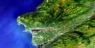
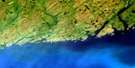
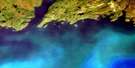
Codroy Satellite Image Map
Download Free Aerial Photo 011O14 at 1:50,000 scale
Codroy Satellite Imagery
To view this satellite map, mouse over the air photo on the right.
You can also download this satellite image map for free:
011O14 Codroy high-resolution satellite image map.
Maps for the Codroy aerial map sheet 011O14 at 1:50,000 scale are also available in these versions:
Codroy Surrounding Area Aerial Photo Maps
 |
 |
 |
|
 |
 |
 |
|
© Department of Natural Resources Canada. All rights reserved.
Codroy Gazetteer
The following places can be found on satellite image map 011O14 Codroy:
Codroy Satellite Image: Bays
Capelan CoveCapelin Cove
Codroy Road
Friars Cove
Golfe du Saint-Laurent
Gulf of St. Lawrence
Net Cove
Northwest Cove
Searston Bay
Snakes Bight
The Gut
Codroy Satellite Image: Capes
Beach PointCape Anguille
Cape John
George Point
Grebes Head
Kennedy Point
Kennel Head
LarkinPoint
Shoal Point
Stormy Point
Woody Cape
Codroy Satellite Image: Channels
Cabot StraitDétroit de Cabot
Codroy Satellite Image: Islands
Codroy IslandHoly Cross Island
Codroy Satellite Image: Lakes
Friars PondsHynes Ponds
Johns Pond
Little Codroy Pond
Loch Lomond
Long Pond
Mitchells Pond
Shoal Pond
Wedding Pond
Woodpecker Pond
Codroy Satellite Image: Mountains
Long Range MountainsCodroy Satellite Image: Conservation areas
Codroy Valley Beach Provincial ParkCodroy Valley Provincial Park
Grand Codroy Provincial Park
Mummichog Provincial Park
Newfoundland T'Railway Provincial Park
Codroy Satellite Image: Rivers
Big BrookBrooms Brook
Grand Bay River
Grand Codroy River
Grand Daddys Brook
Johns Brook
Kennel Brook
Limestone Brook
Little Codroy River
Low Brook
Mollichignick Brook
Muddy Hole Brook
Muises Brook
North Branch
Overfall Brook
Ryans Brook
Scythestone Brook
Smokehouse Brook
South Branch
Spout Brook
Stephens Brook
Codroy Satellite Image: Shoals
Fish RockNet Rock
Three Rocks
Codroy Satellite Image: Unincorporated areas
Benoits SidingCape Anguille
Codroy
Doyles
Great Codroy
Millville
O'Regan's
Searston
Shoal Point
South Branch
St. Andrew's
The Block
Tompkins
Upper Ferry
Woodville
Codroy Satellite Image: Valleys
Friars Gulch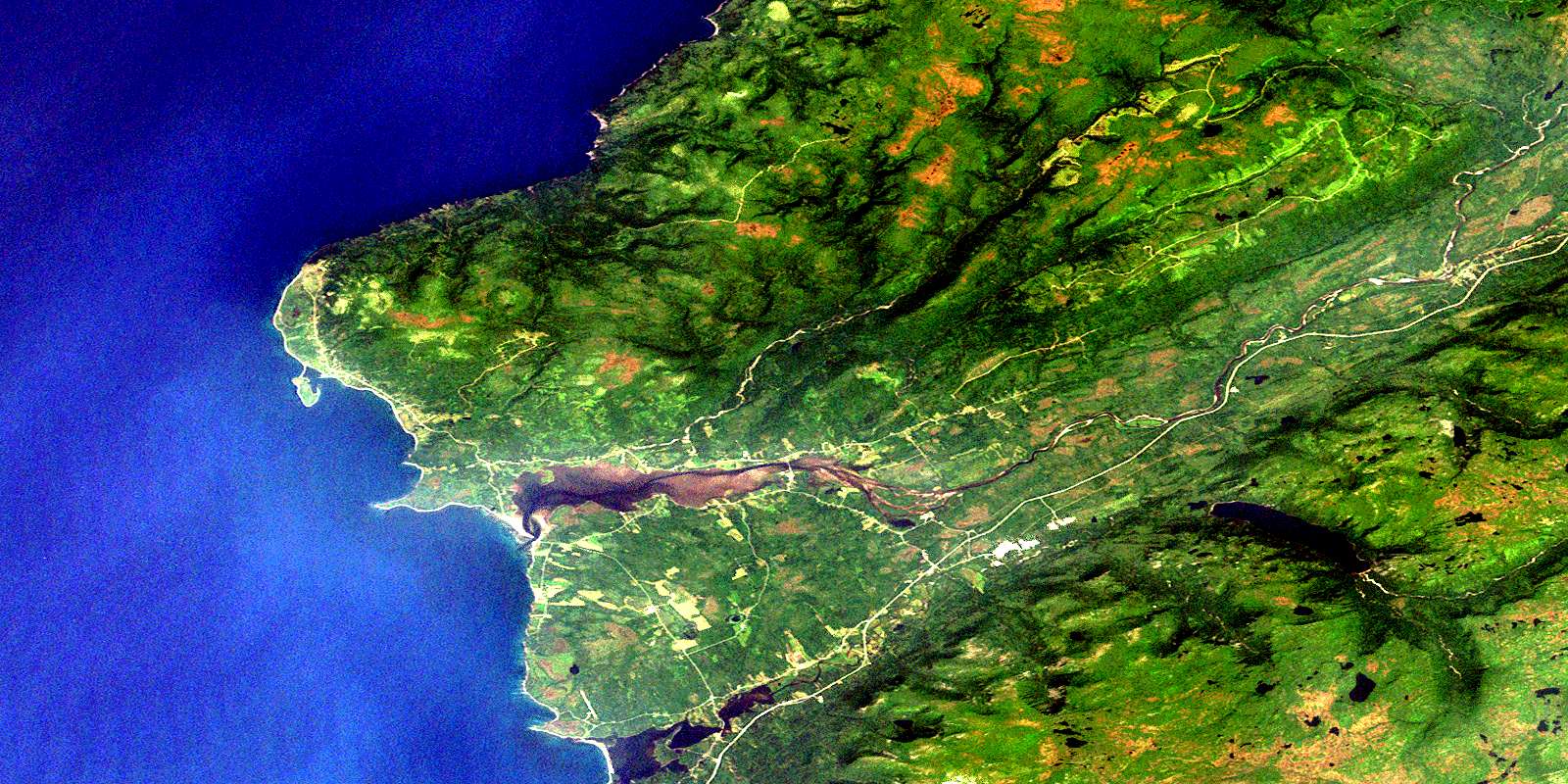
© Department of Natural Resources Canada. All rights reserved.
