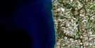
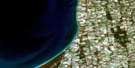
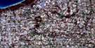
Goderich Satellite Image Map
Download Free Aerial Photo 040P12 at 1:50,000 scale
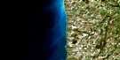
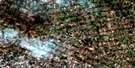
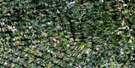
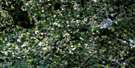
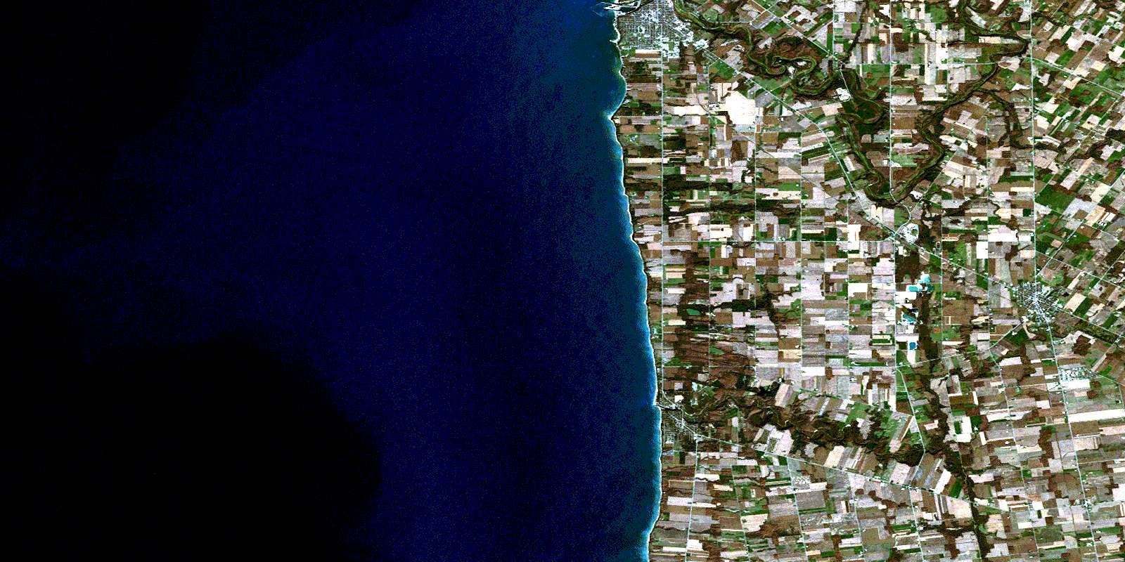
Goderich Satellite Imagery
To view this satellite map, mouse over the air photo on the right.
You can also download this satellite image map for free:
040P12 Goderich high-resolution satellite image map.
Maps for the Goderich aerial map sheet 040P12 at 1:50,000 scale are also available in these versions:
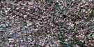
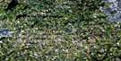
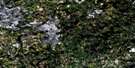
Goderich Surrounding Area Aerial Photo Maps
 |
 |
 |
 |
 |
 |
 |
 |
 |
 |
 |
 |
 |
 |
 |
 |
© Department of Natural Resources Canada. All rights reserved.
Goderich Gazetteer
The following places can be found on satellite image map 040P12 Goderich:
Goderich Satellite Image: Capes
Blacks PointGoderich Satellite Image: Geographical areas
ColborneGoderich
Hullett
Huron
Stanley
Tuckersmith
Goderich Satellite Image: Hydraulic construction
Layton DrainMedd Drain
Goderich Satellite Image: Islands
Indian IslandShip Island
Goderich Satellite Image: Lakes
Lac HuronLake Huron
Tricks Pond
Goderich Satellite Image: Major municipal/district area - major agglomerations
HuronGoderich Satellite Image: Other municipal/district area - miscellaneous
AshfieldAshfield-Colborne-Wawanosh
Central Huron
Colborne
Goderich
Grey
Hay
Hullett
Hullett
McKillop
Stanley
Tuckersmith
West Wawanosh
Goderich Satellite Image: Conservation areas
Morris Tract Provincial Nature ReserveGoderich Satellite Image: Rivers
Bannockburn RiverBayfield River
Blyth Brook
Bridgewater Creek
Cemetery Creek
Gully Creek
Hopkins Creek
Maitland River
Naftel's Creek
Sharp Creek
Sharpes Creek
South Maitland River
Tricks Creek
Goderich Satellite Image: Towns
BluewaterGoderich
Huron East
Goderich Satellite Image: Unincorporated areas
BayfieldBenmiller
Blue Water Beach
Brucefield
Clinton
Holmesville
McGaw
Porter Hill
Porter's Hill
Summerhill
Vanastra
Varna
Witmer
© Department of Natural Resources Canada. All rights reserved.
