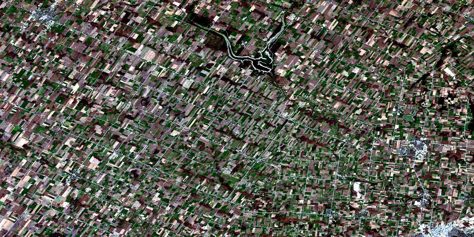
Conestogo Satellite Image Map
Download Free Aerial Photo 040P10 at 1:50,000 scale
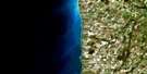
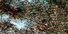
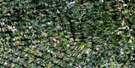
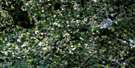
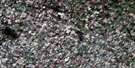
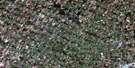
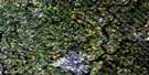
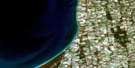
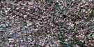
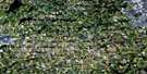
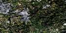
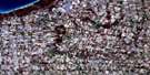
Conestogo Satellite Imagery
To view this satellite map, mouse over the air photo on the right.
You can also download this satellite image map for free:
040P10 Conestogo high-resolution satellite image map.
Maps for the Conestogo aerial map sheet 040P10 at 1:50,000 scale are also available in these versions:
Conestogo Surrounding Area Aerial Photo Maps
 |
 |
 |
 |
 |
 |
 |
 |
 |
 |
 |
 |
 |
 |
 |
 |
© Department of Natural Resources Canada. All rights reserved.
Conestogo Gazetteer
The following places can be found on satellite image map 040P10 Conestogo:
Conestogo Satellite Image: City
WaterlooConestogo Satellite Image: Geographical areas
ElliceElma
Maryborough
Mornington
Nichol
North Easthope
Peel
Perth
Pilkington
Wallace
Waterloo
Waterloo
Wellesley
Woolwich
Conestogo Satellite Image: Hydraulic construction
Boyle DrainConestogo Satellite Image: Lakes
Conestogo LakeParadise Lake
Conestogo Satellite Image: Major municipal/district area - major agglomerations
PerthWaterloo
Wellington
Conestogo Satellite Image: Other municipal/district area - miscellaneous
Centre WellingtonEllice
Elma
Eramosa
Garafraxa
Mapleton
Maryborough
Mornington
Nichol
Nichol
North Easthope
Peel
Perth East
Pilkington
Pilkington
South Easthope
Wallace
Waterloo
Wellesley
Woolwich
Conestogo Satellite Image: Rivers
Black CreekBoomer Creek
Canagagigue Creek
Carroll Creek
Conestogo River
Donald Creek
Firella Creek
Forwell Creek
Grand River
Kirkland Creek
Martin Creek
Middle Maitland River
Nith River
Smith Creek
Spring Creek
Conestogo Satellite Image: Towns
North PerthConestogo Satellite Image: Unincorporated areas
AlmaAlma Station
Britton
Brunner
Burns
Carthage
Conestogo
Creek Bank
Crosshill
Donegal
Dorking
Drayton
Elmira
Fernbank
Floradale
Freeborn
Glen Allan
Glenallan
Goldstone
Gotham
Hawkesville
Heidelberg
Hesson
Hollen
Kingwood
Kumpfville
Lambert
Lebanon
Linwood
Listowel
Macton
Millbank
Milverton
Newton
North Woolwich
Peffers
Pentland Corners
Poole
Quarindale
Spruce Green
St. Clements
St. Jacobs
Stirton
Topping
Tralee
Wallace
Wallenstein
Winfield
Wyandot
Yatton
© Department of Natural Resources Canada. All rights reserved.
