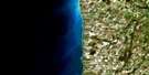
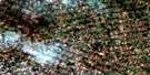
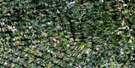
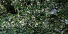
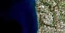
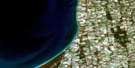
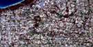
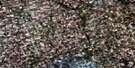
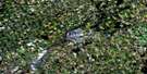
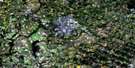
Wingham Satellite Image Map
Download Free Aerial Photo 040P14 at 1:50,000 scale
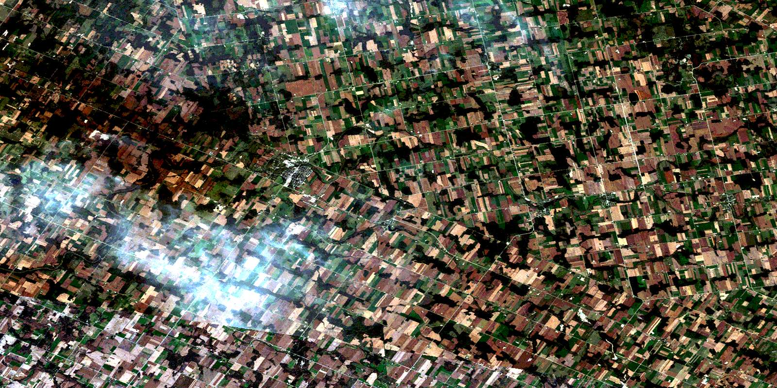
Wingham Satellite Imagery
To view this satellite map, mouse over the air photo on the right.
You can also download this satellite image map for free:
040P14 Wingham high-resolution satellite image map.
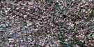
Maps for the Wingham aerial map sheet 040P14 at 1:50,000 scale are also available in these versions:
Wingham Surrounding Area Aerial Photo Maps
 |
 |
 |
 |
 |
 |
 |
 |
 |
 |
 |
 |
 |
 |
 |
 |
© Department of Natural Resources Canada. All rights reserved.
Wingham Gazetteer
The following places can be found on satellite image map 040P14 Wingham:
Wingham Satellite Image: Geographical areas
BruceCarrick
Culross
East Wawanosh
Elma
Grey
Howick
Hullett
Huron
Kinloss
Morris
Perth
Turnberry
Wallace
Wawanosh
West Wawanosh
Wingham Satellite Image: Hydraulic construction
Ackert DrainBennett Drain
Day Drain
Douglas Award Drain
McCutcheon Drain
Patterson Creek Drain
Vittie Drain
Wills Drain
Wingham Satellite Image: Lakes
Blind LakeLakelet Lake
Purvis Lake
Wraith's Lake
Wroxeter Mill Pond
Wingham Satellite Image: Mountains
The AlpsWingham Satellite Image: Major municipal/district area - major agglomerations
BruceHuron
Perth
Wingham Satellite Image: Other municipal/district area - miscellaneous
AshfieldAshfield-Colborne-Wawanosh
Carrick
Central Huron
Colborne
Culross
East Wawanosh
Elma
Goderich
Grey
Howick
Hullett
Huron
Huron-Kinloss
Kinloss
McKillop
Mildmay-Carrick
Morris
Morris-Turnberry
North Huron
South Bruce
Teeswater-Culross
Tuckersmith
Turnberry
Wallace
West Wawanosh
Wingham Satellite Image: Conservation areas
Wawanosh Lake Conservation AreaWawanosh Valley Conservation Area
Wingham Satellite Image: Rivers
Alps CreekBelgrave Creek
Belmore Creek
Blyth Brook
Carrick Creek
Dickies Creek
Lakelet Creek
Little Maitland River
Maitland River
Middle Maitland River
Muskrat Creek
Otter Creek
St. Augustine Creek
St. Helens Creek
Teeswater River
Wingham Satellite Image: Towns
Huron EastNorth Perth
Wingham Satellite Image: Unincorporated areas
BelgraveBelmore
Bluevale
Bluevale Siding
Bluevale Station
Brussels
Donnybrook
Fordwich
Fordyce
Glen Farrow
Glenannan
Gorrie
Huntingfield
Hutton Heights
Jamestown
Lakelet
Langside
Lower Langside
Lower Wingham
Marnoch
Mayne
Mayne Corners
McIntosh
Molesworth
Sunshine
Teeswater
Westfield
Whitechurch
Wingham
Wingham Junction
Wingham Junction
Wroxeter
© Department of Natural Resources Canada. All rights reserved.
