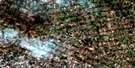
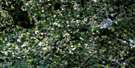
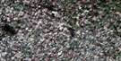
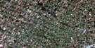
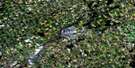
Seaforth Satellite Image Map
Download Free Aerial Photo 040P11 at 1:50,000 scale
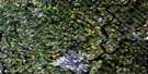
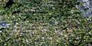
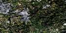
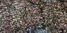
Seaforth Satellite Imagery
To view this satellite map, mouse over the air photo on the right.
You can also download this satellite image map for free:
040P11 Seaforth high-resolution satellite image map.
Maps for the Seaforth aerial map sheet 040P11 at 1:50,000 scale are also available in these versions:
Seaforth Surrounding Area Aerial Photo Maps
 |
 |
 |
 |
 |
 |
 |
 |
 |
 |
 |
 |
 |
 |
 |
 |
© Department of Natural Resources Canada. All rights reserved.
Seaforth Gazetteer
The following places can be found on satellite image map 040P11 Seaforth:
Seaforth Satellite Image: Geographical areas
East WawanoshEllice
Elma
Grey
Hibbert
Hullett
Huron
Logan
McKillop
Morris
Perth
Tuckersmith
Waterloo
Wawanosh
West Wawanosh
Seaforth Satellite Image: Hydraulic construction
Boyle DrainBroadfoot Drain
Carnochan Drain
Layton Drain
Tyndall Drain
Seaforth Satellite Image: Major municipal/district area - major agglomerations
HuronPerth
Seaforth Satellite Image: Other municipal/district area - miscellaneous
Central HuronEast Wawanosh
Ellice
Elma
Fullarton
Goderich
Grey
Hibbert
Hullett
Logan
McKillop
Mornington
Morris
Morris-Turnberry
North Easthope
North Huron
Perth East
South Easthope
Tuckersmith
Turnberry
Wallace
West Perth
Seaforth Satellite Image: Rivers
Bayfield RiverBeauchamp Creek
Blyth Brook
Liffy Ditch
McEwan Creek
Middle Maitland River
North Thames River
Silver Creek
South Maitland River
Whirl Creek
Seaforth Satellite Image: Towns
Huron EastNorth Perth
Seaforth Satellite Image: Unincorporated areas
AtwoodBeechwood
Blyth
Bornholm
Brodhagen
Brussels
Carmunnock
Constance
Cranbrook
Dublin
Egmondville
Ethel
Ethel Siding
Ethel Station
Harlock
Harpurhey
Henfryn
Kennicott
Kinburn
Kuhryville
Leadbury
Londesborough
Manley
McNaught
Moncrieff
Monkton
Newry
Roxboro
Seaforth
Silver Corners
Slabtown
St. Columban
Trowbridge
Walton
West Monkton
Willow Grove
Winthrop

© Department of Natural Resources Canada. All rights reserved.
