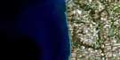
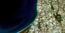
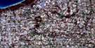
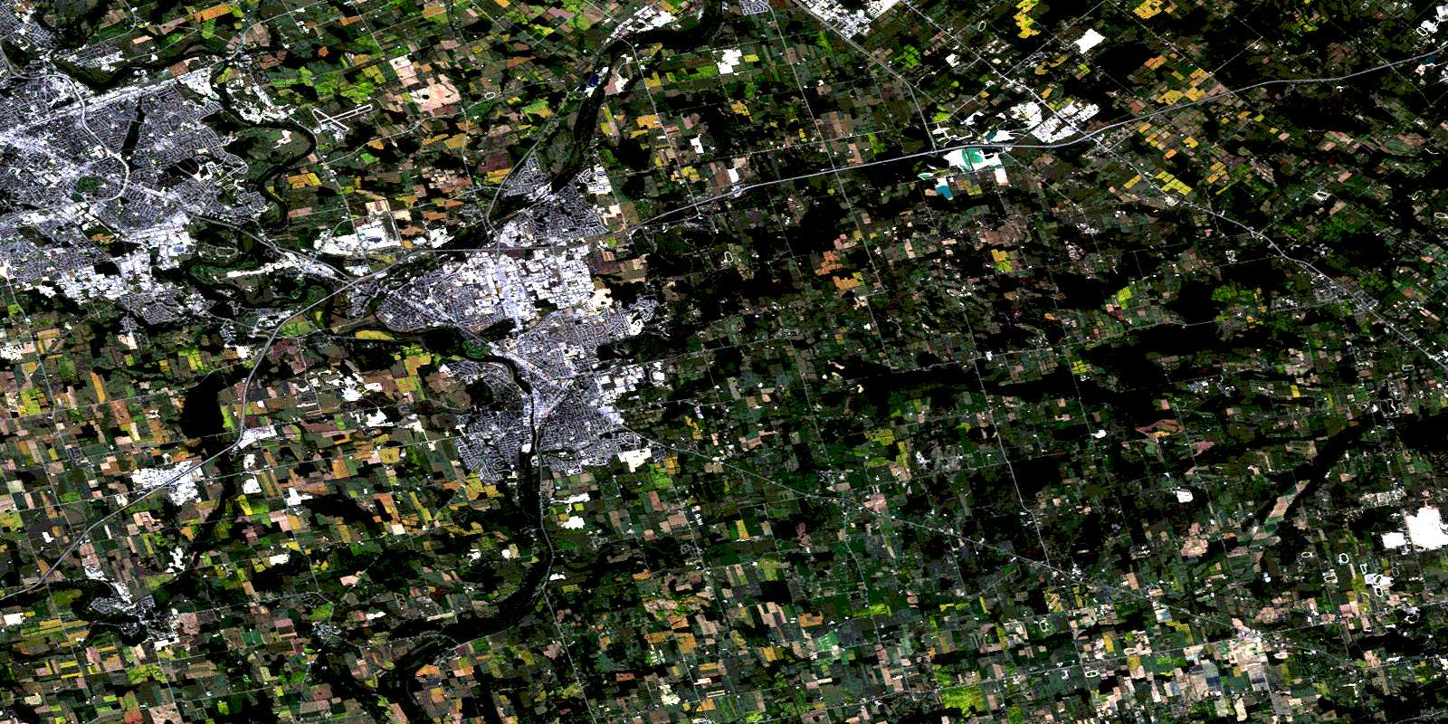
Cambridge Satellite Image Map
Download Free Aerial Photo 040P08 at 1:50,000 scale
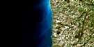
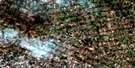
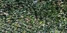
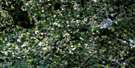
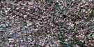
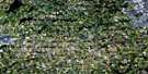
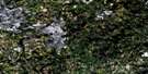
Cambridge Satellite Imagery
To view this satellite map, mouse over the air photo on the right.
You can also download this satellite image map for free:
040P08 Cambridge high-resolution satellite image map.
Maps for the Cambridge aerial map sheet 040P08 at 1:50,000 scale are also available in these versions:
Cambridge Surrounding Area Aerial Photo Maps
 |
 |
 |
 |
 |
 |
 |
 |
 |
 |
 |
 |
 |
 |
 |
 |
© Department of Natural Resources Canada. All rights reserved.
Cambridge Gazetteer
The following places can be found on satellite image map 040P08 Cambridge:
Cambridge Satellite Image: Capes
McCormick PointCambridge Satellite Image: City
BerlinBrant
Brant-on-the-Grand
Cambridge
Guelph
Hamilton
Kitchener
Waterloo
Cambridge Satellite Image: Cliffs
Niagara EscarpmentCambridge Satellite Image: Geographical areas
AncasterBeverly
Blenheim
Brant
Dumfries
East Flamborough
Guelph
Nassagaweya
North Dumfries
Oxford
Puslinch
South Dumfries
Waterloo
Waterloo
Wellington
Wentworth
West Flamborough
Cambridge Satellite Image: Islands
Big IslandMusselshell Island
St. Helen Island
Summer Island
Cambridge Satellite Image: Lakes
Bannister LakeBarrie Lake
Barrie's Lake
Beake Pond
Blue Springs Pond
Christie Reservoir
Cottrell Lake
Cowan's Lake
Deans Lake
Despond Lakes
Elliott's Lake
Emerald Lake
Grass Lake
Gulliver's Lake
Hillside Lake
Jedburgh Pond
Little Lake
Little Turnbull Lake
McCrone Lake
McCrone's Lakes
Mill Pond
Millers Lake
Moore Pond
Mountsberg Reservoir
Orrs Lake
Orr's Lake
Pinehurst Lake
Puslinch Lake
Reid's Lake
Spottiswood Lakes
Sprague's Lake
Taylor Lake
Turnbull Lake
Valens Reservoir
Victoria Park Lake
Watson Pond
Willow Lake
Wrigley Lake
Wrigley's Lake
Cambridge Satellite Image: Mountains
Hill SixtyPinnacle Hill
Shantz Hill
Cambridge Satellite Image: Major municipal/district area - major agglomerations
BrantHalton
Hamilton-Wentworth
Oxford
Waterloo
Wellington
Wentworth
Cambridge Satellite Image: Other municipal/district area - miscellaneous
AncasterBeverly
Binbrook
Blandford-Blenheim
Blenheim
Brantford
Burford
Dumfries
Dumfries
Eramosa
Glanbrook
Glanford
Guelph
Guelph/Eramosa
Nassagaweya
Nichol
North Dumfries
Oakland
Onondaga
Pilkington
Puslinch
Puslinch
South Dumfries
Waterloo
Waterloo
Woolwich
Cambridge Satellite Image: Conservation areas
Bannister Lake Complex Conservation AreaBeverly Swamp Conservation Area
Chicopee Hills Conservation Area
Christie Reservoir Conservation Area
Crooks Hollow Conservation Area
F.W.R. Dickson Conservation Area
Lieu historique national du Canada Woodside
Mountsberg Conservation Area
Puslinch Lake Conservation Area
Shades Mills Conservation Area
Woodside National Historic Site of Canada
Cambridge Satellite Image: Rivers
Aberfoyle CreekAlder Creek
Balzer Creek
Barlow Creek
Bechtel Creek
Big Creek
Blair Creek
Bowman Creek
Bronte Creek
Cedar Creek
Charlie Creek
Eden Creek
Ellis Creek
Fairchild Creek
Fletcher Creek
Galt Creek
Grand River
Hopewell Creek
Idlewood Creek
Irish Creek
Kolb Creek
Laurel Creek
Melitzer Creek
Mill Creek
Moffatt Creek
Moffatt's Creek
Montgomery Creek
Mountsberg Creek
Nith River
Schneider Creek
Shoemaker Creek
Speed River
Spencer Creek
Spencer Creek
Strasburg Creek
West Spencer Creek
Cambridge Satellite Image: Towns
MiltonCambridge Satellite Image: Unincorporated areas
AberfoyleAikensville
Alpine Village
Ancaster
Ayr
Babenoch
Badenoch
Barber's Beach
Blair
Branchton
Breezy's Corners
Breslau
Bridgeport
Brock Gardens
Bruces
Centreville
Christies Corner
Christies Corners
Clyde
Country Hills
Crieff
Doon
Downeys
East Preston
Fisher Mills
Flamboro West
Flamborough
Forest Hills
Freelton
Freeport
Galt
German Mills
Glen Morris
Glenchristie
Glenwood Heights
Greenfield
Guelph Junction
Hagey
Hayesland
Heritage Park
Hespeler
Idylwild
Killean
Killean Station
Kirkwall
Kossuth
Laurentian Hills
Little Lake
Littles Corners
Morriston
Mountsberg
Orkney
Orrs Lake
Orr's Lake
Parkway
Peters Corners
Pinehurst Park
Preston
Puslinch
Reid's Mill
Reidsville
Rockton
Rockway
Rosemount
Rosendale
Roseville
Sheffield
Shep's Subdivision
Stanley Park
Strabane
Strasburg
Troy
Valens
Victoria Hills
West Flamborough
Westover
Williamsburg
Wrigley Corners
Cambridge Satellite Image: Valleys
Crook's HollowDundas Valley
Cambridge Satellite Image: Low vegetation
Badenoch SwampBeverly Swamp
Gilholm's Marsh
Moffat Swamp
Oliver's Marsh
Roseville Swamp
Sink-Hole Swamp
© Department of Natural Resources Canada. All rights reserved.
