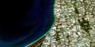
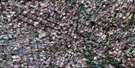
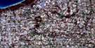
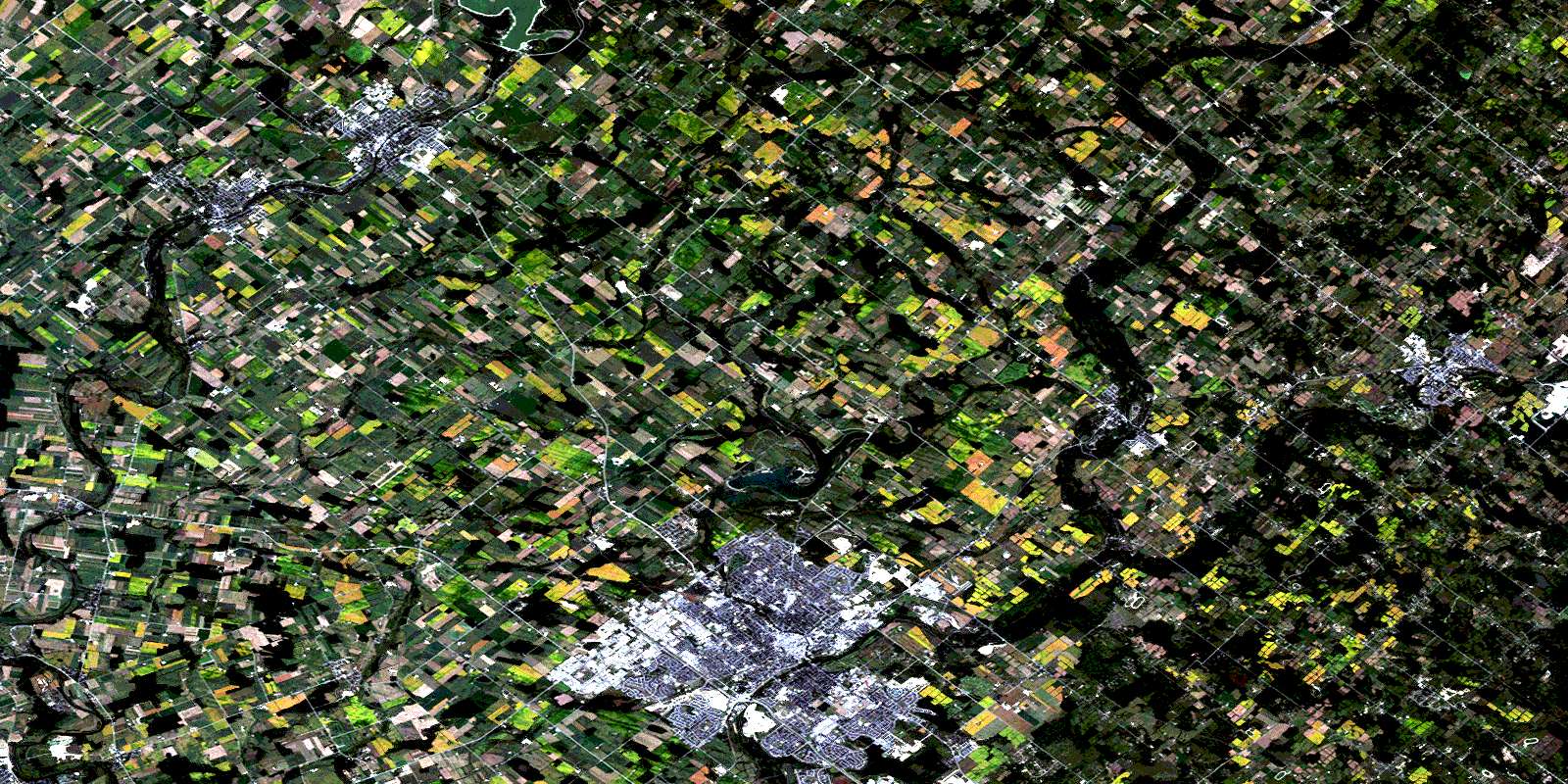
Guelph Satellite Image Map
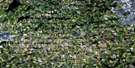
Download Free Aerial Photo 040P09 at 1:50,000 scale
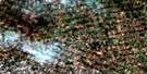
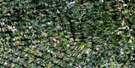
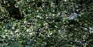
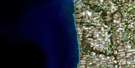
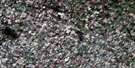
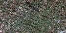
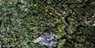
Guelph Satellite Imagery
To view this satellite map, mouse over the air photo on the right.
You can also download this satellite image map for free:
040P09 Guelph high-resolution satellite image map.
Maps for the Guelph aerial map sheet 040P09 at 1:50,000 scale are also available in these versions:
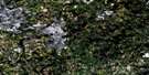
Guelph Surrounding Area Aerial Photo Maps
 |
 |
 |
 |
 |
 |
 |
 |
 |
 |
 |
 |
 |
 |
 |
 |
© Department of Natural Resources Canada. All rights reserved.
Guelph Gazetteer
The following places can be found on satellite image map 040P09 Guelph:
Guelph Satellite Image: City
GuelphWaterloo
Guelph Satellite Image: Geographical areas
East GarafraxaEramosa
Erin
Esquesing
Garafraxa
Guelph
Nassagaweya
Nichol
Peel
Pilkington
Puslinch
Waterloo
Waterloo
Wellington
West Garafraxa
Woolwich
Guelph Satellite Image: Hydraulic construction
Shand DamGuelph Satellite Image: Lakes
Acton PondBelwood Lake
Fairy Lake
Guelph Lake
Lake Belwood
Windo'er Lake
Guelph Satellite Image: Major municipal/district area - major agglomerations
HaltonWaterloo
Wellington
Guelph Satellite Image: Other municipal/district area - miscellaneous
Centre WellingtonEramosa
Eramosa
Erin
Esquesing
Garafraxa
Guelph
Guelph/Eramosa
Mapleton
Maryborough
Nassagaweya
Nichol
Nichol
Nichol
Peel
Pilkington
Pilkington
Pilkington
Puslinch
Puslinch
West Garafraxa
West Garafraxa
Woolwich
Guelph Satellite Image: Conservation areas
Belwood Lake Conservation AreaElora Bissel Conservation Area
Elora Gorge Conservation Area
Guelph Lake Conservation Area
Rockwood Conservation Area
Guelph Satellite Image: Rivers
Black CreekBlue Springs Creek
Canagagigue Creek
Carroll Creek
Clythe Creek
Conestogo River
Cooper's Creek
Cox Creek
Critter Creek
Cuckoo Creek
Ellis Creek
Eramosa River
Grand River
Hanlon's Creek
Hopewell Creek
Horst Creek
Irvine Creek
Lutteral Creek
Marden Creek
Minnow Creek
Mountsberg Creek
Ospringe Creek
Richardson Creek
Sixteen Mile Creek
Snows Creek
Speed River
Swan Creek
Willow Creek
Guelph Satellite Image: Towns
ErinHalton Hills
Milton
North Halton
Guelph Satellite Image: Unincorporated areas
ActonAlma Station
Ariss
Arkell
Armstrong Mills
Ballinafad
Birge Mills
Bloomingdale
Blue Springs
Brisbane
Brock Road
Brookville
Brucedale
Centre Inn
Churchill
College View
Conestogo
Coningsby
Corwhin
Crewsons Corners
Darbyville
Eden Mills
Elora
Ennotville
Eramosa
Everton
Farnham
Fergus
Grove Inn
Guelph Junction
Haltonville
Hamilton Corner
Inverhaugh
Knatchbull
Marden
Maryhill
Mimosa
Moffat
Mosborough
Ospringe
Oustic
Ponsonby
Priory Park
Rockcut
Rockwood
Salem
Sayers Mills
Shands
Shiloh
Sodom
Speedside
Speedwell
Spier
Stratton's Corners
Weissenburg
West Montrose
Winterbourne
Zuber Corners
Guelph Satellite Image: Valleys
Elora GorgeThe Gorge
© Department of Natural Resources Canada. All rights reserved.
