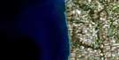
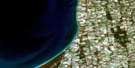
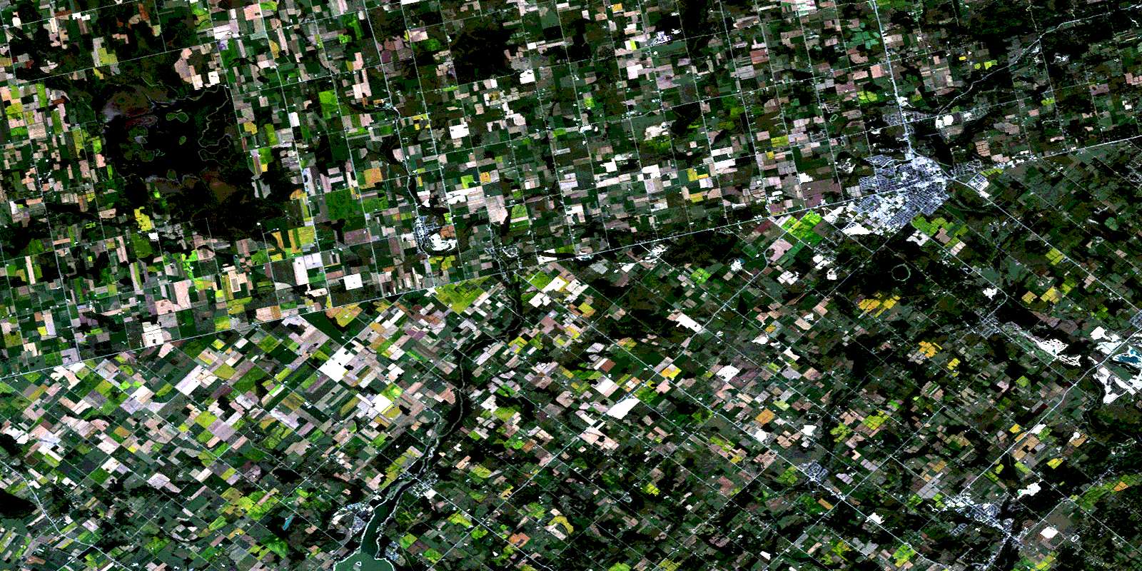
Orangeville Satellite Image Map
Download Free Aerial Photo 040P16 at 1:50,000 scale
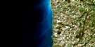
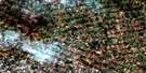
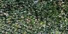
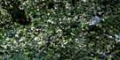
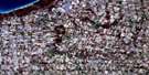
Orangeville Satellite Imagery
To view this satellite map, mouse over the air photo on the right.
You can also download this satellite image map for free:
040P16 Orangeville high-resolution satellite image map.
Maps for the Orangeville aerial map sheet 040P16 at 1:50,000 scale are also available in these versions:
Orangeville Surrounding Area Aerial Photo Maps
 |
 |
 |
 |
 |
 |
 |
 |
 |
 |
 |
 |
 |
 |
 |
 |
© Department of Natural Resources Canada. All rights reserved.
Orangeville Gazetteer
The following places can be found on satellite image map 040P16 Orangeville:
Orangeville Satellite Image: Bays
East BayIsland's Bay
Orangeville Satellite Image: Cliffs
Devils PulpitNiagara Escarpment
Orangeville Satellite Image: Geographical areas
AmaranthCaledon
Dufferin
East Garafraxa
East Luther
Eramosa
Erin
Garafraxa
Luther
Mono
Nichol
Peel
Peel
Perth
Wellington
West Garafraxa
West Luther
Orangeville Satellite Image: Islands
Big IslandEsker Island
Hamilton Island
Mainland's Island
Prairie Island
Stonehouse Island
Windmill Island
Orangeville Satellite Image: Lakes
Allens LakesBelwood Lake
Caledon Lake
Caledon Lakes
Cooks Lakes
Cressview Lakes
Dufferin Lake
Green Lake
Humber Springs Ponds
Islands Lake
Lake Belwood
Luther Lake
McCallum's Pond
Melville Pond
Mud Lake
Orangeville Reservoir
Orpen Lake
Roman Lake
Second Caledon Lake
Sharon Lake
Orangeville Satellite Image: Mountains
Melville HillMono Hills
Morrow's Hill
Purple Hill
The Pinnacle
Twenty Five Hill
Orangeville Satellite Image: Major municipal/district area - major agglomerations
DufferinPeel
Wellington
Orangeville Satellite Image: Other municipal/district area - miscellaneous
AmaranthArthur
Centre Wellington
Chinguacousy
East Garafraxa
East Luther
East Luther Grand Valley
Eramosa
Eramosa
Erin
Garafraxa
Garafraxa
Guelph
Guelph/Eramosa
Luther
Luther
Mapleton
Mapleton
Maryborough
Mount Forest/Arthur/West Luther/Arthur
Nassagaweya
Nichol
Nichol
Nichol
Peel
Pilkington
Pilkington
Pilkington
Puslinch
Wellington North
West Garafraxa
West Garafraxa
West Garafraxa
West Luther
Orangeville Satellite Image: Conservation areas
Belfountain Conservation AreaBelwood Lake Conservation Area
Erin Conservation Area
Forks of the Credit Provincial Park
Grand Valley Conservation Area
Hockley Valley Provincial Nature Reserve
Luther Marsh Conservation Area
Monora Conservation Area
Orangeville Reservoir Conservation Area
Wilcox Conservation Area
Orangeville Satellite Image: Rapids
Cannings FallsOrangeville Satellite Image: Rivers
Black CreekBoyne Creek
Caledon Creek
Conestogo River
Credit River
Credit River (Alton Branch)
Credit River (Erin Branch)
Credit River Alton Branch
Four Mile Creek
Grand River
Irvine Creek
Mill Creek
Monora Creek
Nottawasaga River
Ospringe Creek
Speed River
West Credit River
Willow Brook
Orangeville Satellite Image: Towns
AlbionCaledon
Erin
Mono
Orangeville
Orangeville Satellite Image: Unincorporated areas
AltonAmaranth Station
Belfountain
Belwood
Binkham
Blount
Bowling Green
Brimstone
Caledon Village
Camilla
Campania
Cardwell
Cataract
Cedar Valley
Colbeck
Coulterville
Craigsholme
Cumnock
Damascus
Dracon
Erin
Farmington
Fraxa
Fraxa Junction
Garafraxa Woods
Glen Cross
Grand Valley
Green Park
Hereward
Hillsburgh
Laurel
Leggatt
Living Springs
Marsville
McLeodville
Melville
Metz
Monck
Monticello
Mount View
Orton
Peepabun
Prices Corner
Purple Hill
Reading
Rosehill
Salem
Simpson Corners
Starrview Acres
Tamarac Estates
Tarbert
The Maples
Waldemar
Whittington
Woodside
Orangeville Satellite Image: Valleys
Hockley ValleyOrangeville Satellite Image: Low vegetation
Luther MarshNorth Bog
South Bog
© Department of Natural Resources Canada. All rights reserved.
