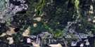
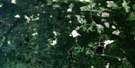
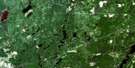
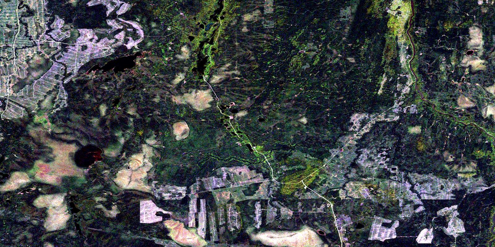
Manning Lake Satellite Image Map
Download Free Aerial Photo 042A13 at 1:50,000 scale
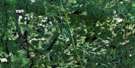
Manning Lake Satellite Imagery
To view this satellite map, mouse over the air photo on the right.
You can also download this satellite image map for free:
042A13 Manning Lake high-resolution satellite image map.
Maps for the Manning Lake aerial map sheet 042A13 at 1:50,000 scale are also available in these versions:
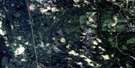
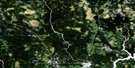
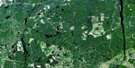
Manning Lake Surrounding Area Aerial Photo Maps
 |
 |
 |
 |
 |
 |
 |
 |
 |
 |
 |
 |
 |
 |
 |
 |
© Department of Natural Resources Canada. All rights reserved.
Manning Lake Gazetteer
The following places can be found on satellite image map 042A13 Manning Lake:
Manning Lake Satellite Image: Geographical areas
AitkenAubin
Cochrane
Dargavel
Ford
Geary
Kingsmill
Kirkland
Laidlaw
Mabee
Mahaffy
Moberly
Oke
Reid
Thorburn
Timiskaming
Wilhelmina
Manning Lake Satellite Image: Lakes
Aitken LakeAubin Lake
Crystal Lake
Island Lake
Laidlaw Lake
Lower Aitken Lake
Manning Lake
Oke Lake
Return Lake
Thorburn Lake
White Caribou Lake
Manning Lake Satellite Image: Conservation areas
Geary Township Shoreline Bluff Conservation ReserveNorth Muskego River Mixed Forest Conservation Reserve
Manning Lake Satellite Image: Rivers
Aitken CreekAubin Creek
Dargavel Creek
East Muskego River
Ford Creek
Geary Creek
Kingsmill Creek
Laidlaw Creek
Manning Creek
Mattagami River
North Muskego River
Poplar Rapids River
Rivière Mattagami
Rivière Poplar
South Creek
Thorburn Creek
White Caribou River
Wilhelmina Creek
© Department of Natural Resources Canada. All rights reserved.
042A Related Maps:
042A Timmins042A01 Kirkland Lake
042A02 Radisson Lake
042A03 Peterlong Lake
042A04 Kenogaming Lake
042A05 Dana Lake
042A06 Timmins
042A07 Watabeag River
042A08 Ramore
042A09 Matheson
042A10 Porquis Junction
042A11 Pamour
042A12 Kamiskotia Lake
042A13 Manning Lake
042A14 Buskegau River
042A15 Iroquois Falls
042A16 Low Bush
